Photo: Dmitry A. Mottl · CC BY-SA 3.0
Sella Ronda Mountain Passes and Marmolada
The 1909 Great Dolomite Road, four Sella passes, June & September car-free cycling days, Sass Pordoi, and Marmolada at 3,343 m.
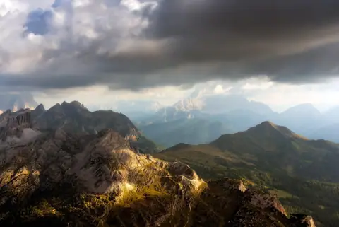
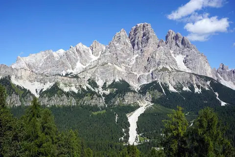
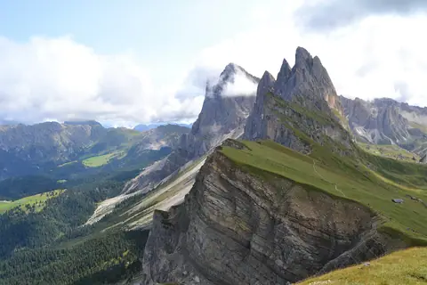
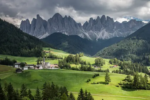
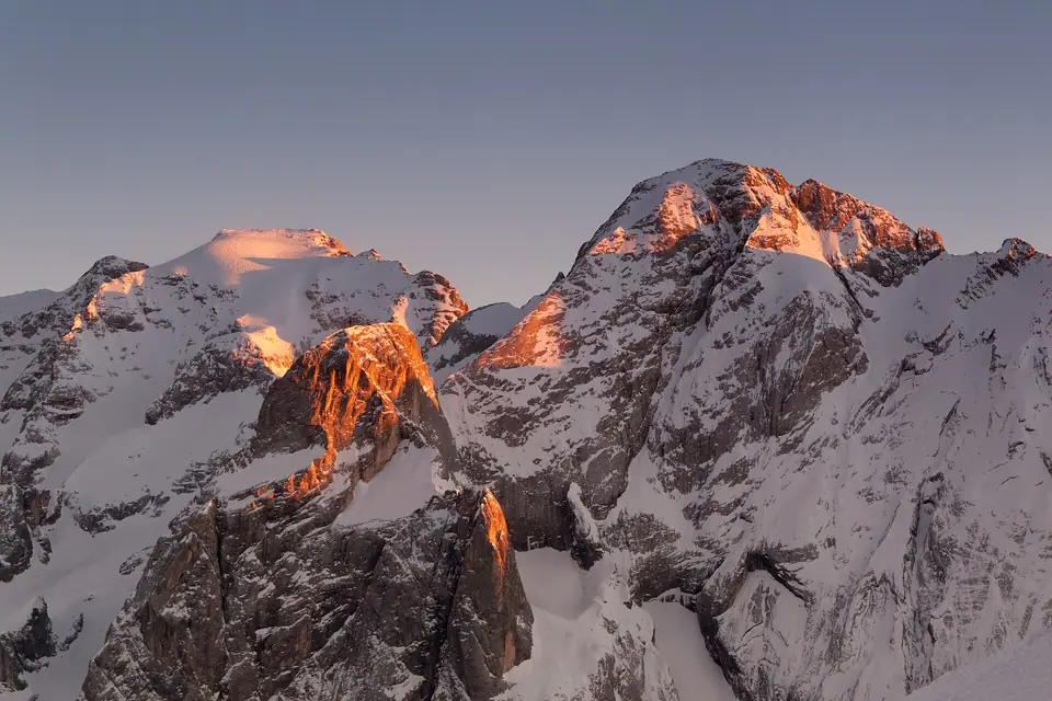
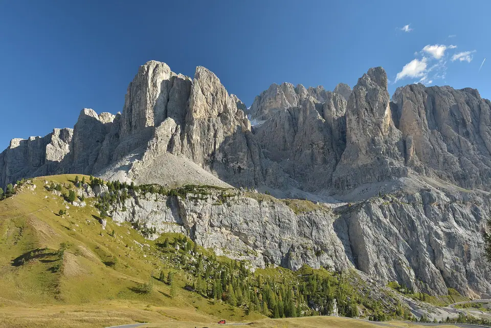
Every central pass connecting western South Tyrol villages with eastern Veneto valleys sweeps round one colossal limestone fortress: the blocky Sella Massif. Ringed seamlessly by four scenic asphalt passes forming the renowned Sella Ronda circuit, vertical pale cliffs rise straight above grassy roadside bends.
Just south above bright turquoise Lake Fedaia rises snow-draped Marmolada, celebrated as Queen of the Dolomites and crowning the mountain range at 3,343 metres. Pairing alpine highway driving with airy summit cableways opens stark karst plateaus and vast glacier panoramas inside crystal-clear weather windows.
High pass motoring rewards steady gentle pacing and thoughtful etiquette along sweeping asphalt switchbacks linking sunny Ladin valleys. Slower drivers enjoy vast views comfortably after turning into broad gravel pullouts rather than braking abruptly amid crowded highway traffic. Climbing cyclists earn generous wide passing room on clear straight sections away from sharp blind rocky bends.
Checking clear upper mountain webcam feeds carefully before stepping aboard steep summit lifts prevents grey cloudy washouts high atop exposed limestone decks. Bracing gusts sweep across pale windswept plains above treeline swiftly, making insulating wool jumpers and light winter gloves prudent companions inside summer daypacks.
Touring quiet museum rooms tucked thoughtfully inside summit station walls preserves moving wartime heritage high above deep emerald meadows. Finishing bright mountain pass loops later over warm strudel platters across welcoming Corvara or Canazei bakeries softens exhausting high-elevation driving effortlessly ahead of dinner.
Engineering heritage on the 1909 Great Dolomite Road
Opened solemnly on 13 September 1909 following ambitious engineering work led by Austro-Hungarian pioneer Theodor Christomannos, the Grande Strada delle Dolomiti reshaped rugged alpine travel permanently. This historic roughly 110-kilometre highway connected urban Bolzano with Cortina via Costalunga, Passo Pordoi, and Passo Falzarego.
Upgrading narrow stony cart paths into continuous mountain switchbacks unlocked lonely Ladin grazing basins safely for summer visitors. Driving those curving ribbons today still asks calm patience behind road cyclists, tour coaches, and steady camper traffic. Pad timetable cushions generously across sunny clear mornings and verify chilly autumn pass surfaces ahead of early frost fronts.
Crossing all four Sella Ronda passes
Four connected mountain cols close the complete asphalt circuit encircling central Sella buttresses: Passo Sella (2,240 metres), Passo Pordoi (2,239 metres), Passo Campolongo (1,875 metres), and Passo Gardena (2,121 metres). Early clockwise laps catch fresh morning sun lighting Passo Gardena and Cir towers before noon glare reaches westward over Sassolungo spires.
Non-drivers skip stressful mountain steering throughout peak summer by riding open valley buses. Summer Bus 471 climbs steadily upward out of Selva across both high Passo Sella and neighbouring Passo Pordoi right toward alpine walking hubs.
| Pass or Peak Station | Verified Elevation | Towns Connected | Top Trailhead or Viewpoint |
|---|---|---|---|
| Passo Sella (Sellajoch) | 2,240 m | Val Gardena to Canazei | Boulder walks under Sassolungo & summer Bus 471 link |
| Passo Pordoi (Pordoijoch) | 2,239 m | Canazei to Arabba | Bottom terminal for 4-minute Sass Pordoi aerial cabins |
| Passo Campolongo | 1,875 m | Corvara to Arabba | Green lower saddle crossing beneath eastern Sella ledges |
| Passo Gardena (Grödner Joch) | 2,121 m | Selva to Corvara | Crisp morning glow across Cir peaks & Val Gardena depths |
| Marmolada Punta Rocca (via Serauta) | 3,265 m lift terrace (3,343 m Punta Penia peak) | Malga Ciapela / Lake Fedaia (2,054 m) | Three-stage cable car & Europe's highest WWI museum |
Car-free Sellaronda Bike Day closures
Drivers scheduling cross-valley transfers during June or September must review sellarondabikeday.com dates ahead of locking room bookings. Scheduled Sellaronda Bike Day weekends across June and September close all four Sella mountain passes completely against private motor vehicles from morning well into mid-afternoon.
Thousands of dedicated cyclists reclaim calm car-free mountain curves, trading echoing tailpipe hum for whirring derailleur gears and cowbells. Trying to shuttle packed holiday suitcases between Val Gardena, Corvara, and Cortina during active closure blocks forces long lowland valley detours instead. By contrast, avid riders rate those traffic-free June and September mornings among Italy's finer mountain road days.
Sass Pordoi: Terrace of the Dolomites
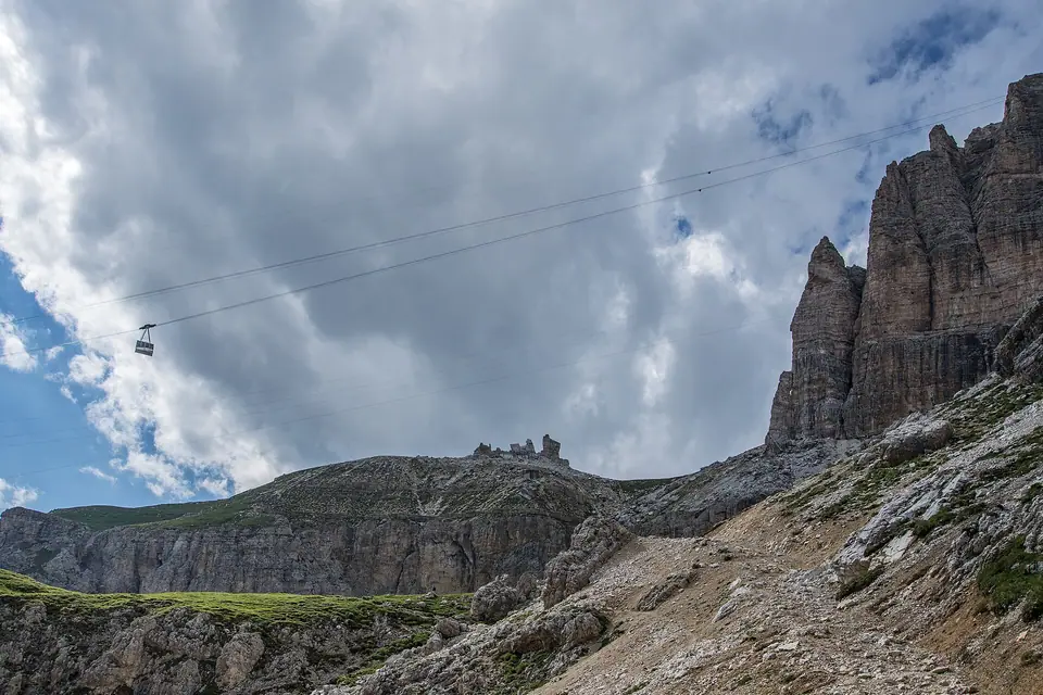
Stopping inside breezy Passo Pordoi asphalt bays (2,239 metres) drops walkers right beside daring pylon-free cable cabins climbing straight upward. In four smooth minutes, sweeping gondolas float onto Sass Pordoi at 2,950 metres without touching intermediate cliffs. Stepping across pale flat moonscape karst rewards viewers with sweeping lines spanning Cinque Torri spires, Pale di San Martino, and snow-striped Austrian summits.
Prepared ridge hikers lacing grippy mountain boots and shells follow rough gravel shelves northeast past Rifugio Forcella Pordoi toward summit Piz Boè peaking at 3,152 metres. Keep warm windproof jackets pulled snug because upper exposed rock slabs sit exposed to freezing ridge winds even while lower town valleys bask in afternoon heat.
Marmolada: Queen of the Dolomites at 3,343 m
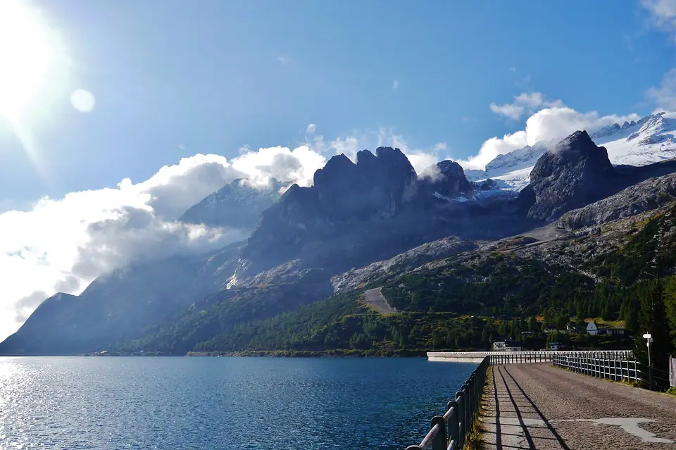
South across cobalt reservoir waters at Lago di Fedaia (2,054 metres) dominates lofty Marmolada, culminating atop Punta Penia (3,343 metres), the highest point rising anywhere across the Dolomites. Dense solid grey limestone sheaths broad glacier slopes running steadily downhill toward Lake Fedaia's curved dam wall.
Climbing from serene Veneto pasture yards inside Malga Ciapela (1,450 metres), three linked cabins along Move to the Top sweep steeply past Coston d'Antermoja up to mid-station Serauta at 2,950 metres. Pause patiently inside Serauta touring Europe's highest World War I museum, revealing fragile timber tools and poignant artefacts preserved from wartime fighters' frozen Ice City tunneled straight into glacier crevasses throughout 1916 and 1917. Top cabins finish calmly out on panoramic glacier terrace Punta Rocca at 3,265 metres.
Choosing pass direction for clear mountain light
- Clear Passo Gardena early: Morning light illuminates crisp Cir faces cleanly while skipping midday queue bunches climbing slowly out from Selva toward Corvara.
- Save Sass Pordoi and Marmolada for crystal days: Thick ridge cloudbanks strip away all visibility across open 2,950-to-3,265-metre upper stone terraces, so verify bright cloudless forecasts ahead of buying mountain lift tickets.
Where it is
- 1Sella Ronda Mountain Passes and Marmolada
- Treviso Airport (TSF) · about 91 km from here in a straight line
- Directions in Google Maps
Stations and taxi ranks: OpenStreetMap. Airports: OurAirports. Distances are in a straight line.
Traveller tips
Real advice from people who have been to the Dolomites. Every tip is read by our team before it goes live.
No tips yet. Been here? Yours could be the first.
Thank you! Your tip will appear here after a quick review.
More in the Dolomites
Continue exploring the Dolomites with related neighbourhood, food, and planning guides