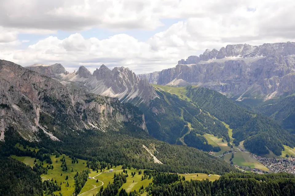
Photo: Own work · CC BY-SA 3.0
Dolomites: What to Know Before You Go
UNESCO geology, three Italian regions, west-versus-east valley layout, and realistic pacing across Italy’s pale limestone range.
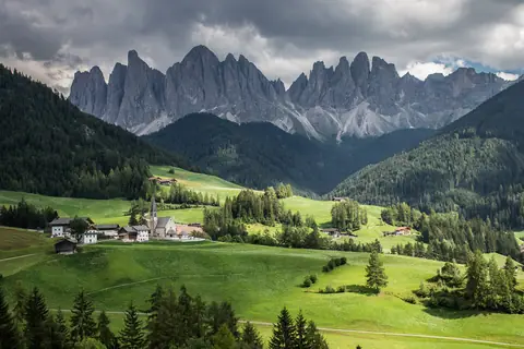
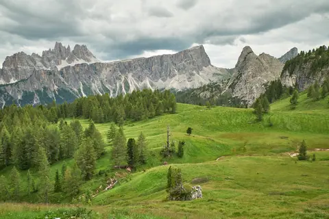
Many visitors picture the Dolomites as one tidy national park built around a single alpine resort village. Instead, this rugged limestone arc crosses three northern Italian regions: Veneto, Trentino-Alto Adige (home to South Tyrol), and Friuli-Venezia Giulia. Deep wooded valleys split towering vertical rock walls into isolated massifs. Thoughtful regional planning transforms rushed highway transfers into serene alpine mornings.
Before reserving bedrooms or buying lift passes, examine how western German-and-Ladin valleys contrast sharply with luminous eastern Belluno meadows. Spending five to seven nights gives relaxed space to experience both flanks properly. Short three-night trips run much calmer when you stay faithful to either western pastures or eastern peaks rather than tackling winding passes repeatedly.
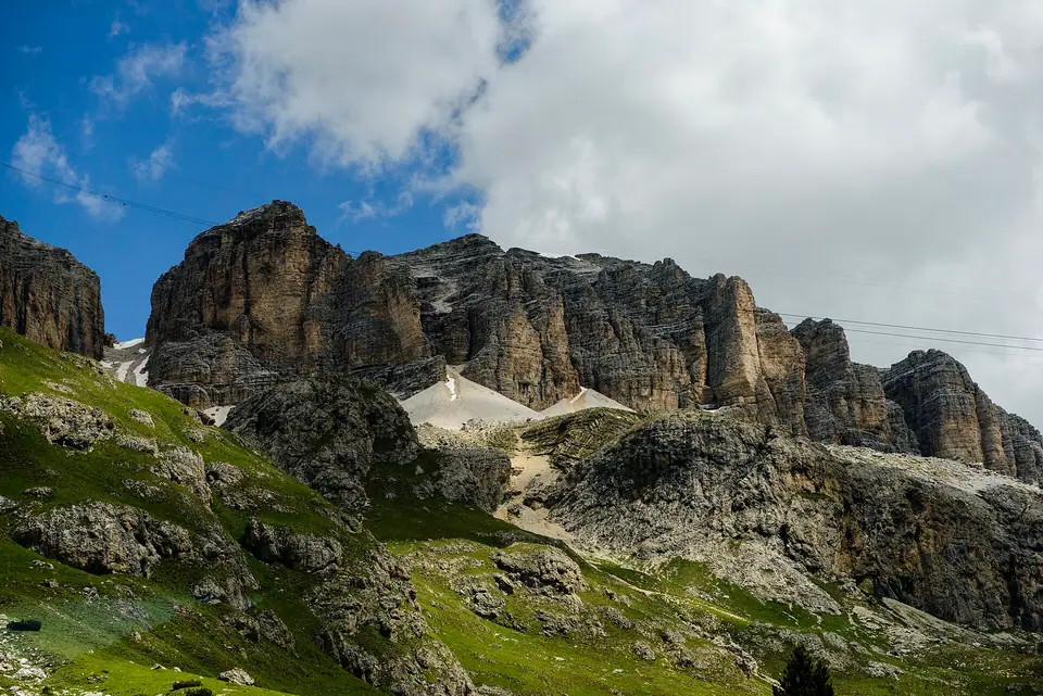
Carbonate geology and pink sunset glow
French mineralogist Déodat Gratet de Dolomieu studied this distinct pale calcium-magnesium carbonate rock closely back in 1791. His field work ultimately named both dolomite rock and the surrounding mountain range. Around 250 million years ago during the Triassic age, warm shallow tropical seas nurtured vast coral reefs, broad coastal lagoons, and marine carbonate atolls across northern Italy.
Powerful tectonic collisions eventually shoved those lithified fossil sea reefs miles skyward into crisp cool air. Because magnesium-rich carbonate splits along sharp vertical stress joints, seasonal ice and rain sculpted fluted chimneys and flat karst ledges instead of squat granite boulders. UNESCO inscribed nine separate mountain systems in 2009 under criteria (vii) and (viii), safeguarding 141,903 core hectares encircled by 89,267 buffer hectares.
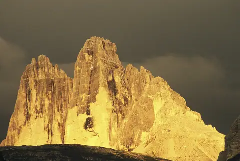
Local Ladins treasure the glowing apricot-rose dusk blaze illuminating pale walls as enrosadira, meaning turning pink. Low sunset beams fire high vertical crags intensely while spruce-shaded valley towns already drop into dark evening twilight. Plan dramatic high-ridge hikes during crisp September and October windows when calm dry valley winds reveal far horizons clearly toward dusk.
Three valley languages and dual town names
Locality signs, morning bakeries, and highway arrows shift noticeably whenever asphalt crests cross historic provincial lines. Throughout South Tyrol (Bolzano province), bilingual German and Italian signs identify every road fork, cableway hall, and dinner menu. Dual village plaques reflect long Austro-Tyrolean cultural roots predating twentieth-century border agreements.
Central grazing valleys framing the Sella Group actively sustain Ladin, an ancient Rhaeto-Romance tongue taught inside mountain schools and printed prominently on official village direction posts. Travelling east past Passo Falzarego enters Cortina d'Ampezzo inside Veneto's Belluno province, where crisp northern Italian sounds prevail over local Ampezzan dialect.
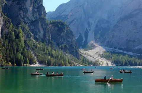
Saving offline trail maps simplifies route checks whenever bus windscreens, valley stations, and timber refuges switch printed languages. Famous destinations appear in dual forms across signage: Lago di Braies becomes Pragser Wildsee, Ortisei alternates between St. Ulrich and Urtijëi, while Tre Cime reads as Drei Zinnen on trail markers.
| Mountain Flank | Italian Regions & Tongues | Landmark Summits | Defining Landscape |
|---|---|---|---|
| Western Dolomites (Val Gardena, Alpe di Siusi, Val di Funes) | South Tyrol (German, Ladin, Italian) | Sassolungo (3,181 m), Seceda (2,518 m) | Rolling turf plateaus under sheer serrated spires |
| Central Passes (Sella Group & Marmolada) | South Tyrol, Trentino, Veneto (Ladin, Italian, German) | Marmolada Punta Penia (3,343 m) | Asphalt switchbacks, karst tables, and hanging glacier |
| Eastern Dolomites (Cortina & Alta Pusteria) | Veneto & South Tyrol (Italian, German) | Tofana di Mezzo (3,244 m), Cima Grande (2,999 m) | Three monumental monoliths and chalk-blue lakes |
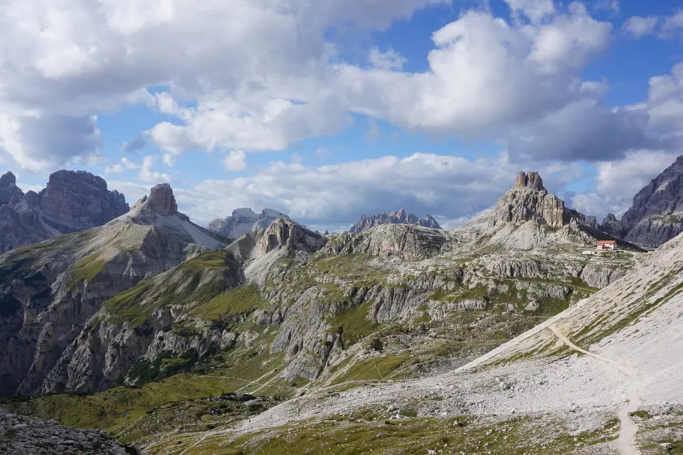
West versus east: reading distances in hours
Flat paper mileage tricks almost every newcomer mapping hotel commutes across alpine pastures. Covering barely 70 kilometres from Ortisei in Val Gardena over to Cortina appears brief by coastal motorway rules, yet steep passes pace every car trip strictly. Ascending Passo Gardena (2,121 metres) or Passo Sella (2,240 metres), dipping past Passo Campolongo, and surmounting Passo Falzarego spans 90 minutes to two hours behind lumbering rural buses.
Dawn photo hunts regularly stall when sleepy motorists chase eastern Tre Cime light straight from western Val Gardena rooms. Dividing weekly itineraries across two complementary valley hubs preserves calm sleep and scenic mornings: anchor early nights beside Alpe di Siusi, then relocate eastward near Cortina or Val Pusteria stations. Travellers skipping rental cars combine swift rail stops around Bolzano and Val Pusteria seamlessly with reliable local valley coaches.
Elevation shifts and daily cloud build-up
Local air conditions change abruptly across vertical rock height rather than matching humid Venetian plains. Down across urban orchards in Bolzano at 262 metres, late sunlight supports outdoor shirt sleeves long after chilly drafts sweep shaded spruce ridges overhead. Higher east inside Cortina d'Ampezzo (1,224 metres), 2015 to 2024 Open-Meteo records register average July highs reaching 21.7 °C across 23.4 wet days, dropping down toward 1.8 °C highs and -7.2 °C nights in winter January.
Stepping out from steep lifts high upon Marmolada at Punta Rocca (3,265 metres) slashes ten to fifteen degrees straight off pleasant town warmth. Warm humid valley thermals also rise sharply across mid-summer July and August afternoons, burying prominent crags like Tofana di Mezzo and Cima Grande under drifting white cloud fronts past noon. Aim firmly onto early morning gondolas for clear rock edges, keeping shaded afternoon walks or café strudel breaks relaxing back downward.
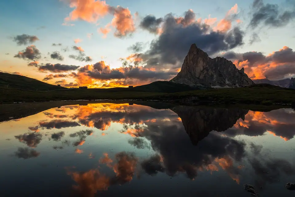
Practical rules shaping busy mountain trailheads
Sustained peak summer traffic prompted regional mountain councils to trade frantic verge overflow lots for timed permit checkpoints. Showing up without valid pre-booked confirmation now sends vehicles briskly downhill miles before scenic mountain water appears. Follow these core habits from day one.
- Reserve summer access permits ahead: Timed digital bookings govern busy daytime parking and peak shuttles at Lago di Braies and the Tre Cime toll road.
- Protect local hay meadows: Never climb across wooden pasture fences or flatten lush summer hay grass across Santa Maddalena farming pastures merely chasing photography shots.
- Verify bilingual refuge and bus names: Keep German, Italian, and Ladin town spellings downloaded securely offline so rural timetable screens make clear instant sense.
- Pair mountains with easy rail gateways: Fast comfortable coaches run south straight toward Venice while swift international trains glide north across Brenner passes into Munich.
Where it is
- 1Central Dolomites
- Treviso Airport (TSF) · about 102 km from the central Dolomites in a straight line
- Directions in Google Maps
Stations and taxi ranks: OpenStreetMap. Airports: OurAirports. Distances are in a straight line.
Traveller tips
Real advice from people who have been to the Dolomites. Every tip is read by our team before it goes live.
No tips yet. Been here? Yours could be the first.
Thank you! Your tip will appear here after a quick review.
More in the Dolomites
Continue exploring the Dolomites with related neighbourhood, food, and planning guides