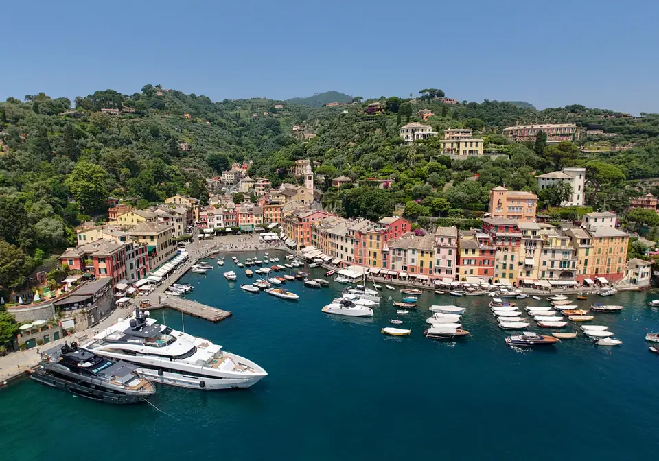
Photo: Quintin Soloviev · CC BY 4.0
Santa Margherita Ligure, San Fruttuoso and Portofino
Pair Trenitalia coastal rail with seasonal boats to reach roadless San Fruttuoso Abbey and Portofino while respecting closed cliff paths.
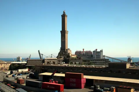
Less than forty kilometres south-east of central Genoa, the green massif of Monte di Portofino drops sharply into clear Ligurian bays. Urban container cranes vanish quickly behind pine ridges and olive terraces. Frequent regional trains from Genova Brignole pair cleanly with coastal passenger boats around the headland. Combining rail and sea creates a smooth car-free loop linking Santa Margherita Ligure, Portofino, roadless San Fruttuoso and Camogli. Checking boat seasons and cliff trail bulletins beforehand prevents long waits beside small piers.
Using the coastal railway covered in our Genoa transit hub guide avoids slow Riviera road queues and tight village car parks. Running the loop clockwise clears steep climbs early while morning air stays cool. Afternoon boats then glide smoothly back past sunny headlands.
Rail, ferry and trail sequence across the Portofino peninsula
Follow this four-step sequence to link Santa Margherita Ligure, Portofino, San Fruttuoso Abbey and Camogli without a hire car.
- Board an early train from Genova Brignole: Catch an eastbound Trenitalia Regionale train tracing the rocky shoreline past Nervi and Recco. Express and stopping services reach Santa Margherita Ligure-Portofino in roughly twenty-five to forty-five minutes. Sit on the right-hand carriage side for sweeping sea views across rugged coves.
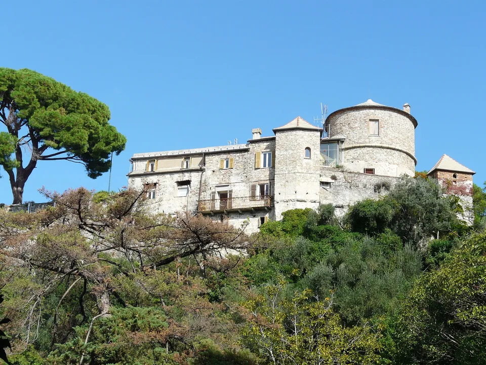
- Walk Santa Margherita or board AMT Bus 782: Stroll down from the hilltop station to the palm promenade below Santa Margherita's sixteenth-century castle. Alternatively, ride coastal AMT Bus 782 along the narrow cliff corniche straight to Portofino when sea swell pauses morning boat sailings. Allow buffer time on summer weekends when single-lane bays slow buses behind tour coaches.
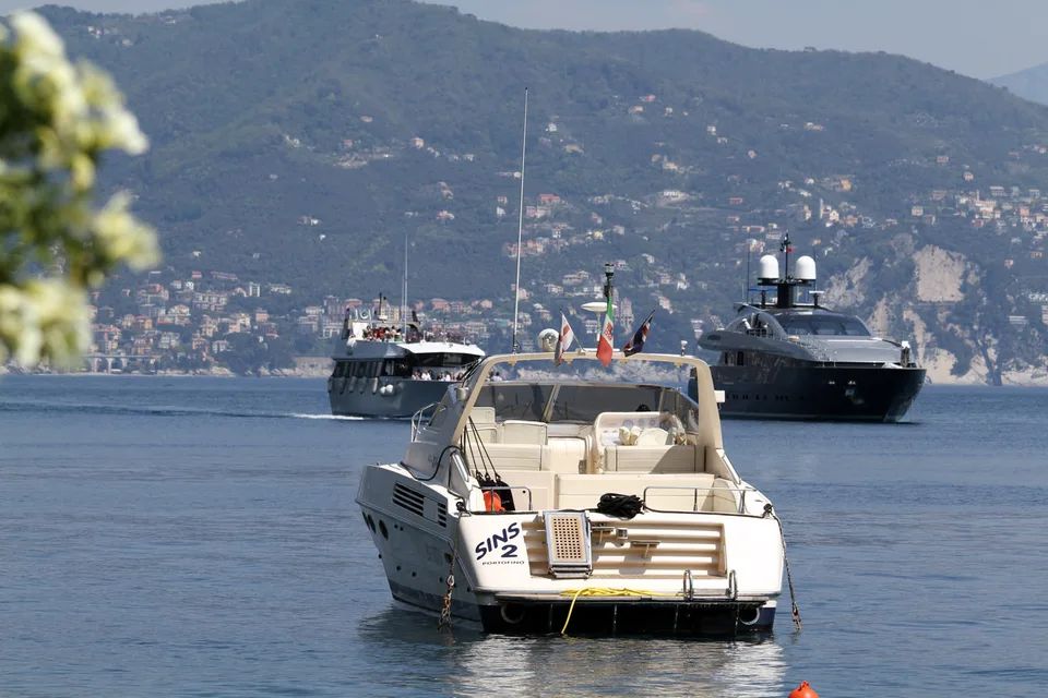
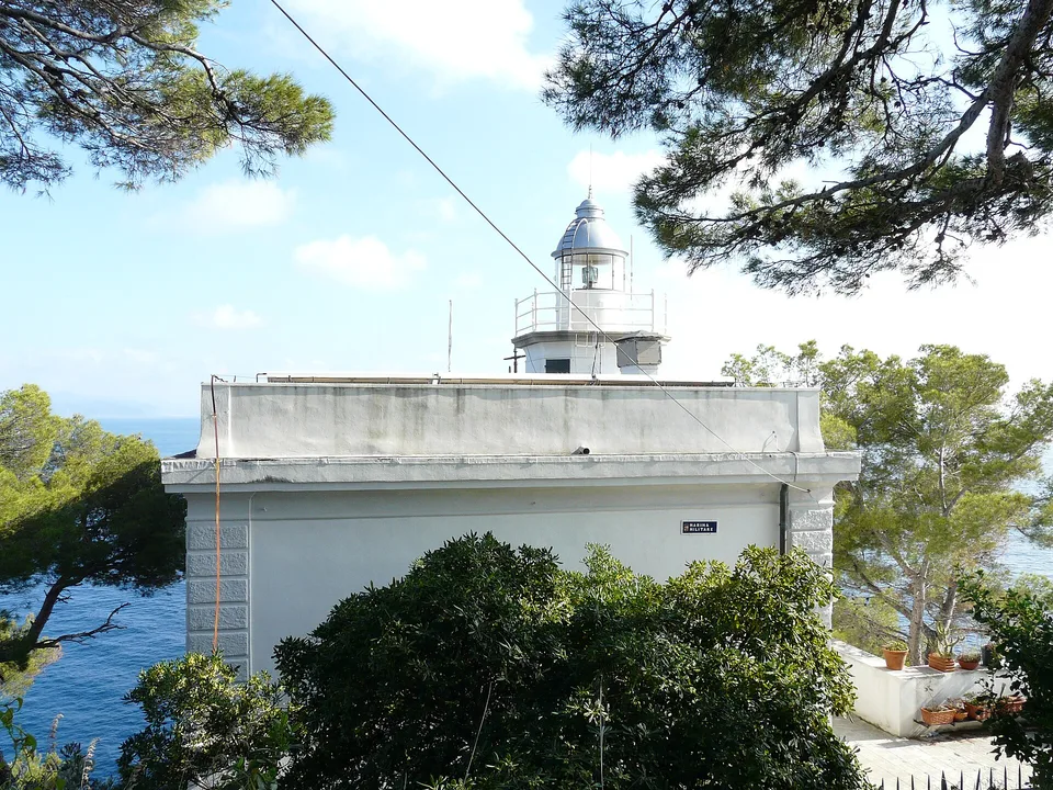
- Cruise Tigullio boats to Portofino and San Fruttuoso: Join Servizio Marittimo del Tigullio harbour boats gliding past Portofino's painted semicircle of tall fisherman houses. Vessels curve around the lighthouse cape before tracing steep conglomerate cliffs westwards into roadless San Fruttuoso. Open upper decks reveal steep pine ravines above the pebble cove while spray usually stays light.
- Visit San Fruttuoso Abbey and hike via Camogli: Step inside the medieval Benedictine abbey behind the cove, noting its thirteenth-century tower and Doria family tombs. The monument has stood under FAI conservation stewardship since 1983. Offshore beneath roughly seventeen metres of clear water rests Guido Galletti's submerged 1954 bronze Cristo degli Abissi. Return later either by seasonal Golfo Paradiso boat via Punta Chiappa or across shaded woodland tracks to Camogli for the thirty-to-forty-five-minute train back to Brignole.
Inland walking route from San Rocco to San Fruttuoso
Walking overland instead of riding every ferry leg rewards sturdy boots with woodland shade and dramatic ridge views. Park waymarks map the signed north-south crossing linking San Rocco, perched near 221 metres above sea level above Camogli, with the sea-level cove at San Fruttuoso. From the terrace beside San Rocco church, paved lanes wind between terraced olive groves. Stone steps then climb steadily beneath chestnut shade towards the Pietre Strette saddle around 464 to 470 metres.
That uphill opening gains roughly 250 metres over firm stone steps before curving southwards towards the open sea. Downhill paths curl past cold spring water at Sorgenti Caselle and stone terraces beside Agririfugio Molini, dropping roughly 460 metres into the abbey cove. Budget around 4.6 kilometres and between two hours and two hours forty minutes one way from San Rocco. Starting directly at Camogli railway station adds roughly two extra kilometres and around forty-five minutes of steep village stairway climbing.
Active trail closures through the regional park
Always verify active footpath notices published by Parco Naturale Regionale di Portofino before walking west from San Fruttuoso towards Camogli. Two cliffside routes, Passo del Bacio near Le Batterie and the narrow aqueduct ledge Via dei Tubi above Camogli, closed under municipal and park safety ordinances in May 2024 after rockslides and fall hazards. Both closures remain officially enforced through 2026 while slope stabilisation continues across fragile conglomerate cliffs.
Never climb past red warning tape, welded gates or metal trail barriers mounted above sheer drops. Stay instead on open inland woodland tracks linking San Rocco, Gaixella and Pietre Strette down to San Fruttuoso. Walkers favouring eastern harbour views can trace open paths eastwards from San Fruttuoso via Base O towards Portofino through maritime pines. Fill reusable water bottles inside Camogli or Santa Margherita before ascending, because drinking taps rarely operate along ridge saddles.
Footwear, rough-sea cancellations and FAI abbey rules
Polished limestone steps, exposed roots and loose conglomerate gravel across Monte di Portofino wear down thin city trainers, espadrilles and leather sandals quickly. Proper lug-soled hiking boots or trail shoes stay essential across every hillside crossing, particularly after morning dew or rain showers. Remember that winter boat timetables for Tigullio vessels and Camogli Golfo Paradiso launches skip non-holiday Mondays. Swells breaking onto shallow pebble coves halt passenger landings abruptly, even under bright blue skies inland.
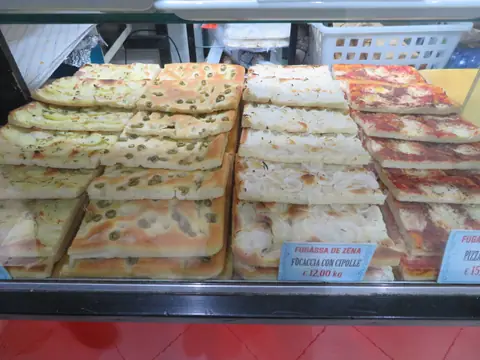
Crucially, whenever rough sea conditions cancel passenger ferry landings at San Fruttuoso, the FAI Abbey closes its gates for the day unless hikers arrive on foot. Checking coastal sea bulletins in our seasonal climate guide stops wasted train journeys down the coast. When winds stay gentle, coastal headland trails pair smoothly with cliffside villages in Cinque Terre or relaxed evening focaccia from our Ligurian food guide.
Back beside Camogli harbour before catching an evening train, pause beside tall waterfront houses painted in warm ochre, coral and terracotta along Via Garibaldi. Painted timber fishing hulls rest above gentle waves while regional trains carry hikers back into Genova Brignole at regular intervals. Validate paper regional rail tickets at yellow or green platform machines before boarding to avoid onboard conductor fines.
Where it is
- 1Santa Margherita Ligure, San Fruttuoso and Portofino
- Genoa Cristoforo Colombo Airport (GOA) · about 29 km from here in a straight line
- Pisa International Airport (PSA) · about 120 km from here in a straight line
- Directions in Google Maps
Stations and taxi ranks: OpenStreetMap. Airports: OurAirports. Distances are in a straight line.
Traveller tips
Real advice from people who have been to Genoa. Every tip is read by our team before it goes live.
No tips yet. Been here? Yours could be the first.
Thank you! Your tip will appear here after a quick review.
More in Genoa
Continue exploring Genoa with related neighbourhood, food, and planning guides