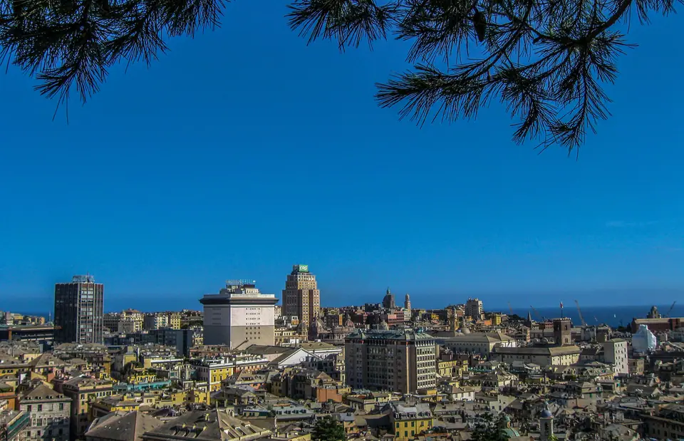
Photo: EvelinaRibarova · CC BY-SA 4.0
Genoa in Three Dimensions: Sea, Caruggi and Funiculars
Read Genoa across three elevations: flat waterfront piers, tight medieval alleys and upper terraces served by lifts and funiculars.
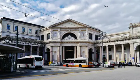
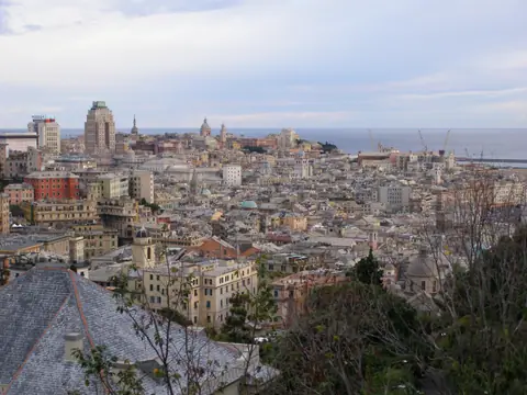
Most Mediterranean ports spread outwards across gentle river plains, yet Genoa never had flat land to spare. Hemmed tightly between deep coastal water and steep Apennine spurs, the Ligurian capital grew upwards in three stacked layers. Roughly 567,000 inhabitants (566,247 recorded at the end of 2025) occupy a narrow coastal crescent. Here a single vertical lift ride changes both architectural century and street climate.
Once an independent maritime republic active from the eleventh century until 1797, Genoa rebuilt its public waterfront for the 1992 Columbus fifth-centenary Expo. Twelve years later, the city served as 2004 European Capital of Culture. Reading Genoa solely on a flat paper map leaves newcomers disoriented. Two parallel lines on street plans frequently sit dozens of vertical metres apart on the ridge. Learning how the harbour, the medieval core and the upper hillside ring interlock turns steep terrain into a clear walk.
Waterfront level: Porto Antico and the Sottoripa arcades
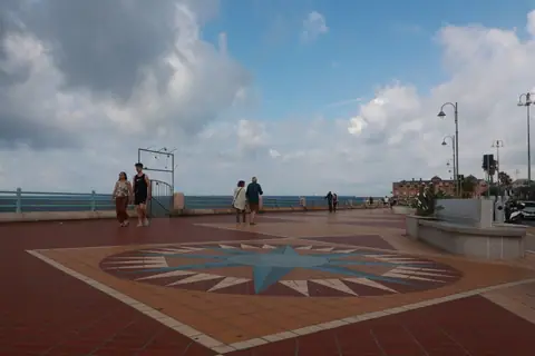
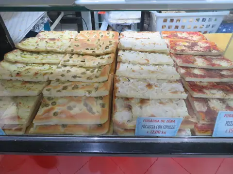
Every mental map of Genoa starts at sea level along the wide flagstones of Porto Antico and the Sottoripa portico opposite. Built in the twelfth century as shipping warehouses and sheltered market halls, Sottoripa's pointed stone and brick arches still trace the old shoreline. Spice merchants, traditional bakeries and harbour fryers serve counter snacks beneath vaulted stone ceilings just paces from modern piers.
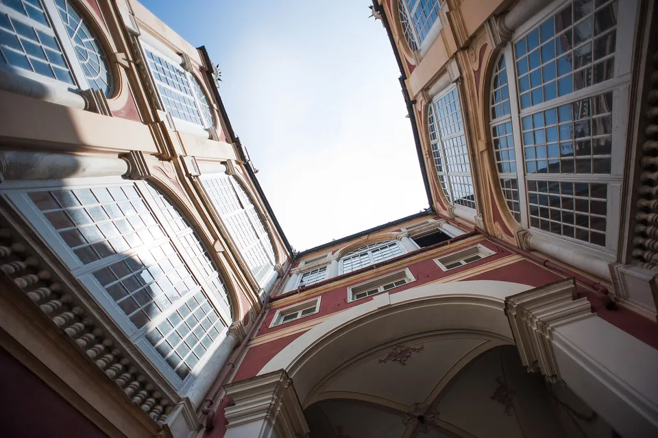
Behind the western flank of Sottoripa rises Palazzo San Giorgio, founded in 1260 as Genoa's civic headquarters. From 1407 it housed the Bank of Saint George, an influential public finance institution that funded maritime commerce across Mediterranean ports. Reclaimed harbour quays beside the palace tie straight into Genoa's single Metro line. That underground track stretches 7.1 km across eight stations from Brin in Val Polcevera to Brignole via Piazza Principe, Darsena, San Giorgio, Sarzano/Sant'Agostino and De Ferrari.
Travellers rolling heavy suitcases find this waterfront belt the most accommodating ground in Genoa. Yet stepping indoors through any dark vault beneath Sottoripa alters urban geometry immediately. Daylight narrows into a cool slot between tall shuttered ochre facades, motor traffic vanishes completely, and volcanic paving stones tilt sharply uphill.
The middle city: caruggi, creuze and Cathedral squares
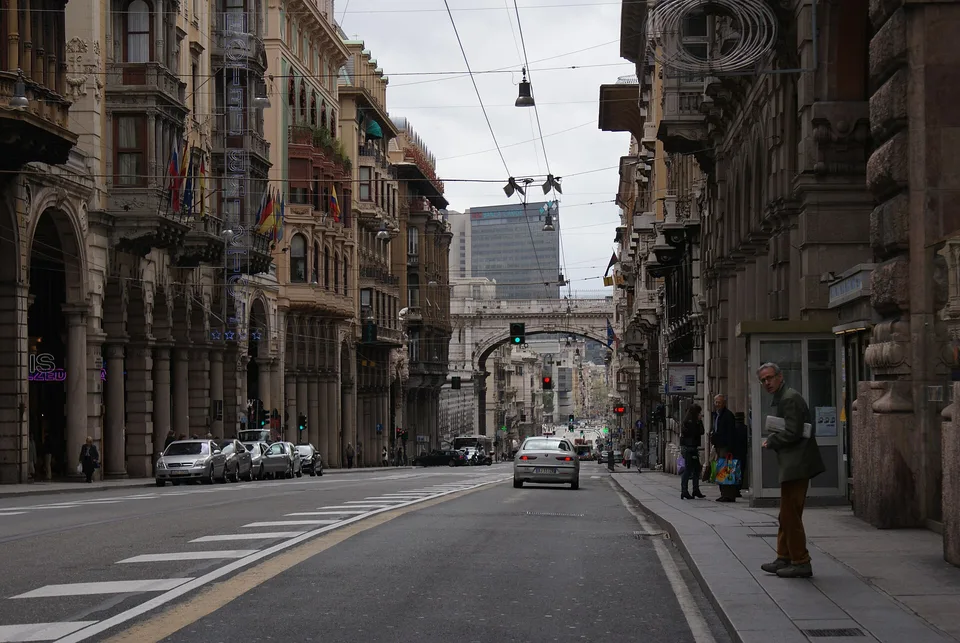
Above the quay spreads the dense Centro Storico, threaded by shaded alleys called caruggi across lower streets and steeper brick-and-cobble lanes called creuze on rising spurs. Medieval builders crowded tall townhouses around tight light shafts to squeeze life inside defensive stone walls. Consequently, Genoa reveals its grand churches and piazzas through sudden spatial releases rather than long axial avenues.
Following the slope eastwards brings you abruptly before the striped Ligurian marble facade of the Cathedral of San Lorenzo. Consecrated in 1118 by Pope Gelasius II, the Romanesque nave preserves a replica 381 mm British naval shell. That shell pierced the sanctuary roof on 9 February 1941 during wartime bombardment without exploding.
Short uphill turns reach Piazza Matteotti and Palazzo Ducale, begun in 1284 as civic hall and expanded from 1339 as the Doges' residence. A major 1777 fire led to its calm Neoclassical facade. Beyond Piazza De Ferrari stand the twin twelfth-century towers of Porta Soprana, raised around 1155 along city walls and featured in our vertical day circuit. Walking north from the square leads instead onto Via Garibaldi, where Renaissance palazzi step cleanly into rock slopes.
Down inside the caruggi, tall walls trap sea breezes and guard daylight in narrow stone corridors. Take one public lift up the hill, and that opaque labyrinth opens into sunlit slate rooftops stepping towards the harbour.
Upper terraces: Circonvallazione a Monte and AMT lifts
During the nineteenth century, planners carved the broad Circonvallazione a Monte ring road, linking Corso Magenta, Corso Firenze and Corso Paganini high along the hillside ridge. Rather than leaving neighbourhoods stranded up long stairways, municipal operator AMT integrated public lifts, funiculars and a mountain rack railway into regular urban transit tickets. Single urban passes cover Metro platforms, hillside buses, funicular cars and stone tunnel lifts together under one fare system. Descending on foot from ridge terraces through brick creuze paths into the old town takes minimal effort. Riding public mechanics back uphill then keeps legs fresh across steep contours.
From Piazza Portello near Via Garibaldi, the Art Nouveau Ascensore Castelletto Levante opened on 20 December 1909. Passengers walk roughly seventy metres into an illuminated rock gallery before climbing fifty-seven metres inside a wood-panelled cabin to Belvedere Luigi Montaldo on Spianata Castelletto. Neighbouring Castelletto Ponente opened in 1929 with a 61-metre rise nearby.
Westwards behind Via Balbi near Piazza Principe, the Ascensore Castello d'Albertis-Montegalletto solves an awkward ridge profile cleanly. Originally opened in 1929 and reopened on 15 December 2004, its blue cabin travels over 200 metres horizontally into the hillside before latching onto a 72-metre vertical shaft to Corso Dogali, spanning roughly 236 metres overall. Back at Piazza Portello, Genoa's oldest operating funicular, Funicolare Sant'Anna, opened in 1891. Electrified in 1980 and rebuilt in 1991, it climbs roughly 357 metres of track for a 54-metre vertical rise onto Corso Magenta.
Two longer lines carry walkers still higher towards defensive ridges overlooking the bay. Built between 1895 and 1897, unified between 1963 and 1965 and modernised in 1989 and 1990, Funicolare Zecca-Righi climbs roughly 279 metres across seven stops. Its 1,428-metre route spends about 700 metres inside hillside rock before emerging at Righi trails. Near Piazza Principe, the 1901 Ferrovia Principe-Granarolo rack railway climbs 1,130 metres across nine residential stops. Reading how these stacked lifts bridge harbour piers, crowded medieval alleys and sunlit hillside balconies unlocks everyday navigation without maps. Two or three days lets you stitch these stacked tiers together smoothly, matching neighbourhood heights with coastal trains towards Turin, Cinque Terre or bakeries from our Ligurian food guide.
Where it is
- 1Genoa
- Genoa Cristoforo Colombo Airport (GOA) · about 8 km from Genoa in a straight line
- Milano Linate Airport (LIN) · about 118 km from Genoa in a straight line
- Directions in Google Maps
Stations and taxi ranks: OpenStreetMap. Airports: OurAirports. Distances are in a straight line.
Traveller tips
Real advice from people who have been to Genoa. Every tip is read by our team before it goes live.
No tips yet. Been here? Yours could be the first.
Thank you! Your tip will appear here after a quick review.
More in Genoa
Continue exploring Genoa with related neighbourhood, food, and planning guides