


























Bern: Essential Planning for the Swiss Federal City
How Bern's UNESCO Old Town peninsula grew in four medieval expansion rings inside the Aare loop, and how its bridges, terraces, and free transit pass work.
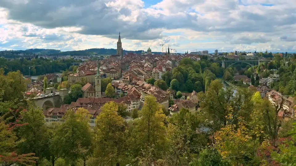
Resting on a hilly moraine plateau in the Swiss Mittelland around 542 metres above sea level, Bern serves as the federal city (Bundesstadt) of Switzerland and the capital of the bilingual Canton of Bern. Rather than designating a single constitutional capital in 1848, the young Swiss federal state voted on 28 November 1848 to make Bern the permanent seat of the Federal Council and the bicameral Federal Assembly. Today the city counts roughly 135,000 residents within its 51.62-square-kilometre municipal borders and around 420,000 across its agglomeration, yet its historic core remains remarkably compact inside a deep horseshoe bend of the Aare river. Start your trip with our overview of things to do in Bern and our 3-day Bern itinerary.
Unlike larger European capitals built around sprawling royal boulevards, the Swiss federal seat preserves the intimate scale of a late-medieval city-state. The entire spine of the peninsula from the main railway station down to the eastern river crossing measures 1.4 kilometres, meaning visitors can walk from parliamentary chambers and grand Baroque granaries to Gothic church terraces and riverside bear enclosures without ever boarding a vehicle. At the same time, continuous ground-floor stone arcades shelter pedestrians from rain and snow, making the historic streets enjoyable in every season.
Four Medieval Expansion Rings on the Aare Peninsula
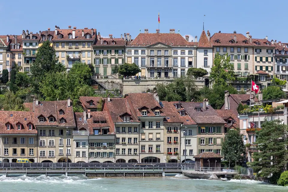
Duke Berchtold V of Zähringen founded Bern in 1191 on the narrowest eastern neck of the peninsula, just above the twelfth-century castle of Nydegg. Because water protected the promontory on the north, east, and south, the town expanded westward in four stages. The first Zähringer town (1191 to 1256) ran from Nydegg up to the fortified gate that became the Zytglogge; the second expansion under Count Peter II of Savoy (1256 to 1344) extended along Marktgasse to the Käfigturm; the third expansion (1344 to 1346) pushed along Spitalgasse to the Christoffelturm near today's railway station; and the seventeenth-century bastions of the Grosse Schanze and Kleine Schanze completed the defensive perimeter.
You can still read these expansion boundaries directly in the width of the streets and the placement of the surviving clock towers. Where defensive ditches and timber palisades once stood in front of the Zytglogge and the Käfigturm, open cross-axes and lively market squares such as Kornhausplatz and Bärenplatz now cut across the peninsula from the northern river cliff to the southern terraces. Each westward step reflects the growing territorial power of the medieval republic after it joined the Old Swiss Confederacy in 1353.
Reading the Street Layout and the Five Coloured Quarters
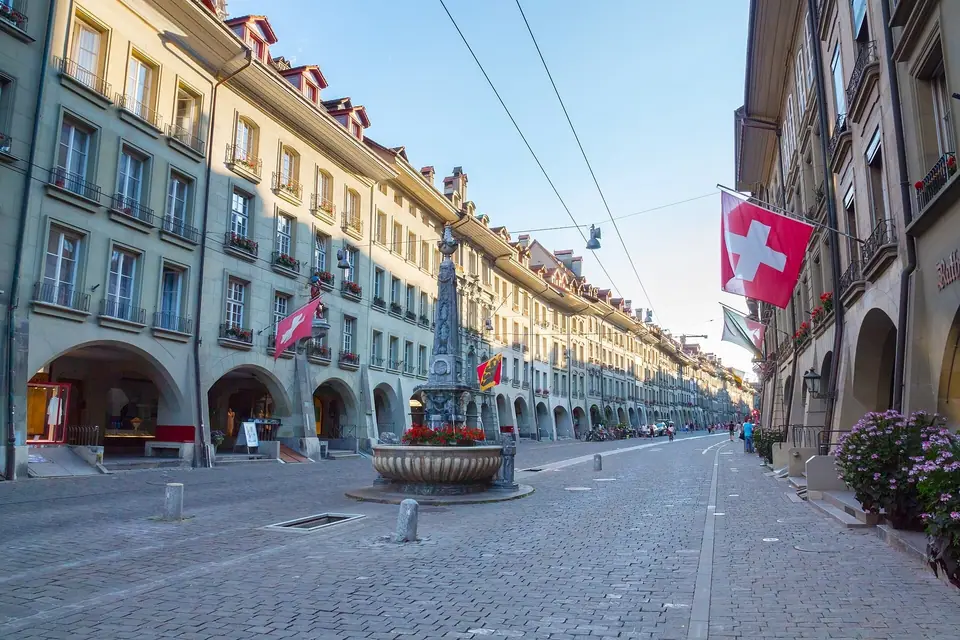
After the Great Fire of 14 May 1405 destroyed roughly 600 wooden houses and claimed more than a hundred lives, Bern rebuilt its streets in local olive-grey Berner Sandstein with deep ground-floor arcades (Lauben) and vaulted cellars resting on stone piers. When French troops occupied the city in 1798, they divided the Innere Stadt into five colour-coded quarters to help soldiers navigate: the Red Quarter around Spitalgasse, the Yellow Quarter around Marktgasse, the Green Quarter around Kramgasse, the White Quarter along Gerechtigkeitsgasse, and the Black Quarter down on the riverfront of the Matte. Bilingual street plaques in French and German still carry those five background colours today.
Beneath the cobbled carriageways runs another signature feature of Zähringer town planning: the stone channel of the Stadtbach, a diverted stream that flushed waste and supplied firefighting water down the middle of the main axis. While metal grates now cover the water along the lower streets, open sections still babble past shoppers on the upper spine, complemented by eleven painted Renaissance figure fountains that provide fresh drinking water along the ridge. Walking east to west lets you observe how narrow artisan frontages in the lower town gradually give way to broader Baroque patrician facades near the station.
Vertical Geography Between Ridge and River Gorge
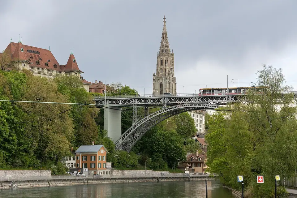
Understanding the city's vertical topography makes daily sightseeing much easier. The sandstone ridge of the Old Town sits high above the turquoise loop of the Aare, supported on the south by monumental stone retaining walls at the Bundesterrasse and the Münsterplattform. Down at water level lie the historic artisanal workshops of the Matte and the grassy sunbathing lawns of the Marzili bath. Rather than climbing steep cobbled lanes on foot, locals use the electric Mattelift at the Minster terrace and the water-origin Marzilibahn funicular beside the Parliament Building to move effortlessly between the upper streets and the riverbank.
This two-level urban structure gives the federal capital a double personality. Upstairs along the ridge, red trams pass beneath medieval clock towers, diplomats cross Bundesplatz, and shoppers browse beneath stone vaults. Downstairs beside the rushing glacial water, wooden mill streams, riverside footbridges, and shaded gravel towpaths create an almost rural valley atmosphere right below the city centre.
High Bridges, Terraces, and Practical Planning
For centuries the thirteenth-century Untertorbrücke at the eastern tip of the peninsula was the only stone crossing over the Aare. Between the 1840s and 1930s, engineers broke the peninsula's isolation by building high bridges across the river gorge, beginning with the Nydeggbrücke (1844) and continuing with the iron Kirchenfeldbrücke (1883), the Kornhausbrücke (1898), and the four-track concrete Lorraine Viaduct (1930). These elevated spans opened up the museum quarter of Kirchenfeld to the south and the residential hills of Breitenrain to the north. Overnight guests in registered local accommodation receive the Bern Ticket for free travel across Libero zones 100 and 101; read our guides on how to get to Bern, where to stay, and the best time to visit.
Because the Bern Ticket covers urban trams, trolleybuses, the Marzilibahn, the Mattelift, and the Gurtenbahn funicular up the local mountain, visitors can combine Old Town walks with outer museums such as the Einstein Museum and the Zentrum Paul Klee without buying single-ride paper tickets. Public drinking fountains across the peninsula supply cold potable water year-round, and nearly all major shops, cellars, and guild restaurants sit directly beneath the sheltered Lauben arcades.
For visitors arriving with a Swiss Travel Pass or Half Fare Card, local public transit in the federal city integrates smoothly with national rail tickets. Even if you are simply pausing in the city for a few hours between morning and afternoon trains, the luggage lockers in the underground station concourse allow you to step straight out onto Bahnhofplatz unencumbered and follow the covered arcades down to the river loop and back.
Throughout the historic quarters, bilingual signage, calm pedestrian zones, and frequent tram stops make navigation intuitive in every season. Whether you spend your afternoons exploring medieval guild architecture, relaxing on the chestnut-shaded Minster terrace, or crossing the valley bridges to the museum quarter, the compact peninsula rewards unhurried exploration on foot.
Traveller tips
Real advice from people who have been to Bern: Essential Planning for the Swiss Federal City. Every tip is read by our team before it goes live.
No tips yet. Been here? Yours could be the first.
Thank you! Your tip will appear here after a quick review.
More in Bern
Continue exploring Bern with related neighbourhood, food, and planning guides
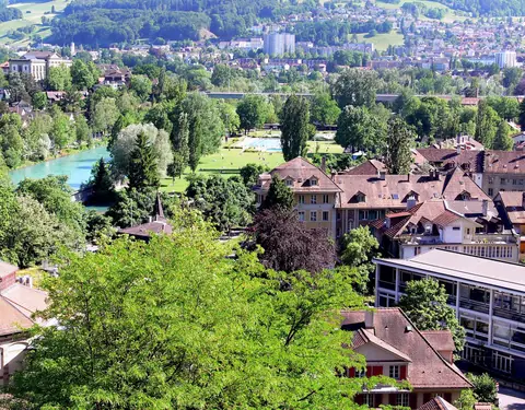
Aare River Swimming, Marzilibad, Marzilibahn & the Matte Quarter
Bern, Switzerland
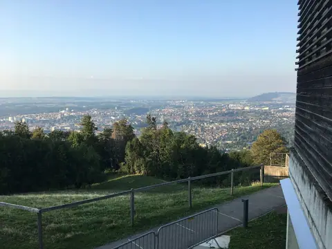
Gurten Mountain Funicular & Emmental Day Trips from Bern
Bern, Switzerland

What to Eat in Bern: Berner Platte, Rösti, Mandelbärli & Zibelemärit
Bern, Switzerland
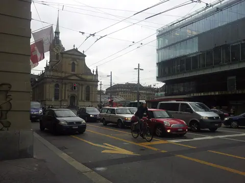
How to Get to Bern: Direct Trains, Airports & the Bern Ticket
Bern, Switzerland
