Buenos Aires: Everything You Need to Know
Plan your visit to Argentina's capital with practical advice on the 48 barrios, the 1913 Subte underground, seasonal weather, and cultural etiquette.
Stretching across the coastal plain of the Río de la Plata estuary, Buenos Aires combines the grand boulevards of a 19th-century European capital with the distinct rhythm of South America's Southern Cone. Founded permanently on 11 June 1580 by Juan de Garay and separated from Buenos Aires Province as an autonomous federal district in 1880, the city proper is home to 3.1 million residents across 48 officially delineated barrios (neighbourhoods), within a metropolitan agglomeration of 16.7 million people.
How the City Layout Works
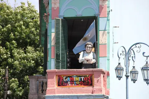
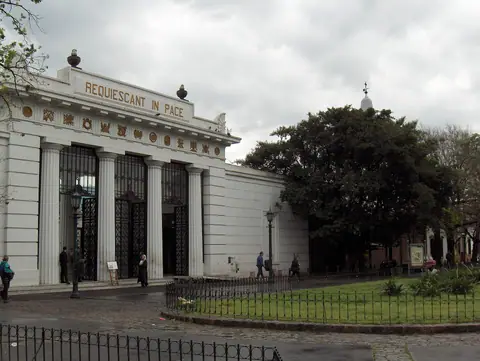
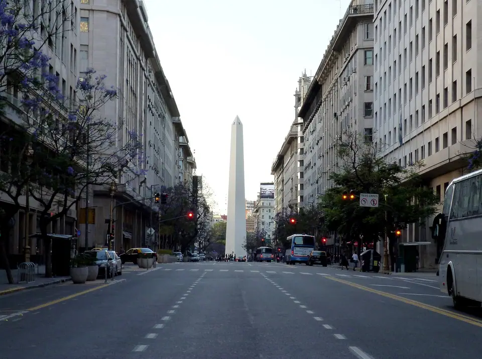
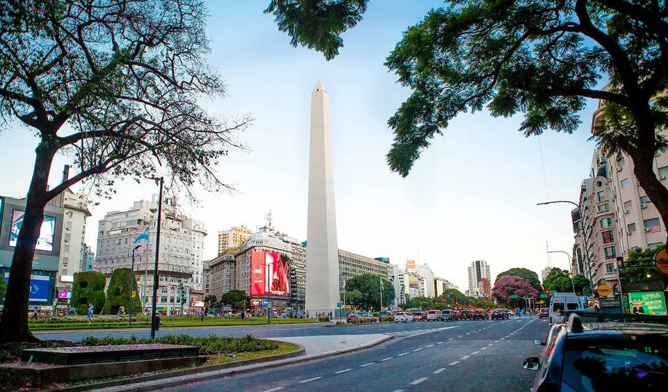
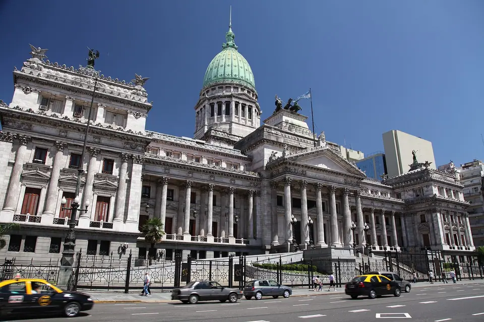
Although the metropolitan area is vast, most visitor sights sit within an arc of seven contiguous or well-connected neighbourhoods along the eastern riverfront. At the historic core, Monserrat and San Nicolás hold Plaza de Mayo, Casa Rosada, and Avenida de Mayo, bisected by the 110-metre-wide Avenida 9 de Julio. Directly south of Plaza de Mayo, colonial San Telmo leads down to the old Riachuelo port mouth at La Boca. Immediately east of the downtown core, the regenerated red-brick docks of Puerto Madero border the 3.5-square-kilometre Costanera Sur Ecological Reserve. Running northwest along the Río de la Plata, the leafy residential corridors of Recoleta and Palermo contain the city's flagship art museums, botanical parks, and contemporary dining streets.
Transport, Money, and Daily Timing
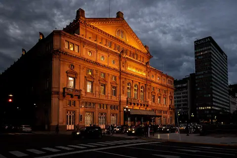
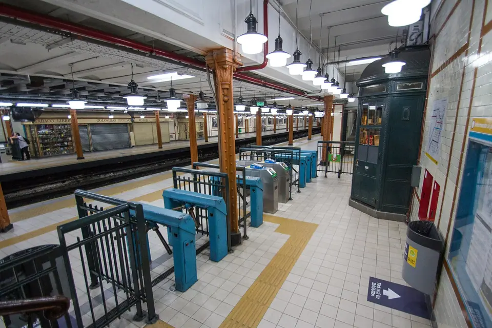
Public transport relies on the rechargeable SUBE card, valid across the six-line Buenos Aires Underground (Subte), metropolitan colectivo buses, and suburban commuter trains. Opened in 1913 between Plaza de Mayo and Plaza Miserere, the Subte is the oldest underground railway in Latin America and the Southern Hemisphere, covering 56.7 kilometres and 90 stations; Line D is the single most useful route for visitors, linking Plaza de Mayo (Catedral station), the Obelisco (9 de Julio), Teatro Colón (Tribunales), Recoleta (Pueyrredón and Facultad de Medicina), and Palermo (Plaza Italia and Palermo). Full airport and rail transfer instructions appear in How to Get to Buenos Aires.
Planning Your Days
Daily life in Buenos Aires follows a late schedule. Coffeehouses open early for medialunas and espresso, museums and historic landmarks operate primarily from late morning through early evening, and dinner at a neighbourhood parrilla or bodegón typically starts after 21:00. To structure your sightseeing without backtracking across the city, combine our 3 Days in Buenos Aires route with seasonal climate data in Best Time to Visit Buenos Aires.
Traveller tips
Real advice from people who have been to Buenos Aires: Everything You Need to Know. Every tip is read by our team before it goes live.
No tips yet. Been here? Yours could be the first.
Thank you! Your tip will appear here after a quick review.
More in Buenos Aires
Continue exploring Buenos Aires with related neighbourhood, food, and planning guides