


























La Paz: Altitude, Canyon Neighbourhoods and Planning Tips
Essential planning advice for La Paz, from understanding the 1,000-metre canyon elevation gradient and acclimatising smoothly to riding Mi Teleferico and using Bolivian bolivianos.
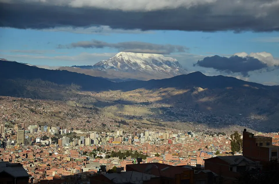
Founded on 20 October 1548 by Captain Alonso de Mendoza and moved three days later into the deep river valley of Chuquiago Marka to shelter travellers from the freezing winds of the open Altiplano, La Paz is unlike any other capital on earth. Serving as Bolivia's seat of government since 1899 (while Sucre retains the constitutional and judicial role), the city occupies a vast geological amphitheatre carved by the Choqueyapu River beneath the 6,438-metre triple snow peak of Mount Illimani. Pair this planning overview with our guide to the best things to do in La Paz and our altitude-by-altitude neighbourhood stay guide.
How the 1,000-Metre Canyon Elevation Works in Your Favour
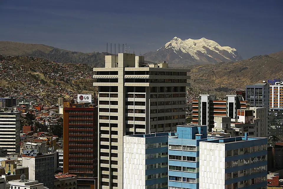
In La Paz, wealth and temperature rise as altitude drops. At the top of the western rim sits the sister metropolis of El Alto and the international airport at 4,000 to 4,150 metres (13,123 to 13,615 feet). Driving down the highway into the historic centre around Plaza Murillo and Plaza San Francisco immediately lowers your elevation to 3,640 metres (11,942 feet). Continuing southeast through bohemian Sopocachi (3,500 metres) into the residential valleys of Zona Sur (Calacoto and San Miguel) brings you down to 3,200 metres (10,500 feet), where the air is warmer and richer in oxygen.
Acclimatisation, Bolivianos (BOB) and Getting Around
- First-day altitude care (sorojchi): Whether you fly into El Alto or cross overland from Cusco and Lake Titicaca, keep your first afternoon unhurried. Drink plenty of water or warm mate de coca (coca-leaf infusion), eat a light early dinner (digestion slows at high elevation), and avoid alcohol on your first night.
- Currency and cash: Bolivia's currency is the Bolivian boliviano (BOB). Cards are widely accepted at hotels and sit-down restaurants in Sopocachi and Zona Sur, but you will need physical 10, 20, and 50 boliviano banknotes for street markets, bakeries, and cable car tickets.
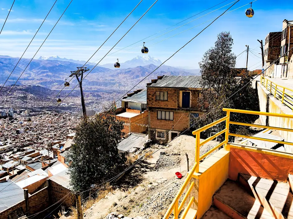
- Aerial transit and radio taxis: Instead of sitting in winding canyon minibus traffic, use the 10 colour-coded lines of Mi Teleferico and municipal PumaKatari buses. After dark, always phone or hail an official radio taxi identifiable by its illuminated rooftop company sign and printed fleet number on the front doors.
Traveller tips
Real advice from people who have been to La Paz: Altitude, Canyon Neighbourhoods and Planning Tips. Every tip is read by our team before it goes live.
No tips yet. Been here? Yours could be the first.
Thank you! Your tip will appear here after a quick review.
More in La Paz
Continue exploring La Paz with related neighbourhood, food, and planning guides
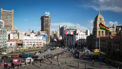
Basilica of San Francisco and the Witches' Market (El Mercado de las Brujas)
La Paz, Bolivia
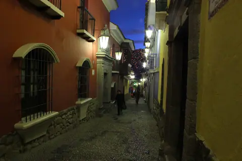
Calle Jaen Museums, Casa de Murillo and MUSEF in the Casco Viejo
La Paz, Bolivia
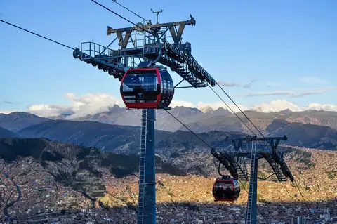
Mi Teleferico Cable Car Lines and Mirador Killi Killi Viewpoint
La Paz, Bolivia
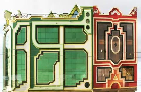
El Alto: Freddy Mamani's Neo-Andean Cholets and the Feria 16 de Julio
La Paz, Bolivia
