


























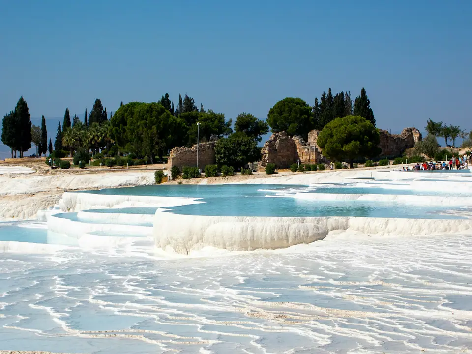
Photo by Hamza Şamil Yavuz on Unsplash
Pamukkale Orientation: Travertine Cliffs, Hierapolis and Denizli Valley
We navigate the vertical landscape of Pamukkale, dividing the mineral cliff terraces from the ancient Roman plateau of Hierapolis above.
Understanding the Cliffside Geometry and Dual Levels
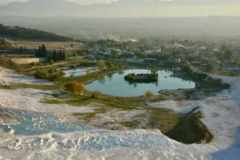
Pamukkale presents a dramatic geological divide across the southwestern edge of the Anatolian plateau. The modern village sits on flat valley agricultural land, directly beneath a towering shelf of brilliant white limestone. Rising behind this blinding pale curtain, the extensive plateau of ancient Hierapolis unfolds across rough fields and wildflower meadows.
Understanding this stark change in elevation is essential for planning a sensible day outdoors. The white terraces cascade down the precipice, holding thermal spring waters rich in calcium bicarbonate. Meanwhile, the classical city ruins spread horizontally along the upper shelf, stretching far beyond the edge of the mineral formations.
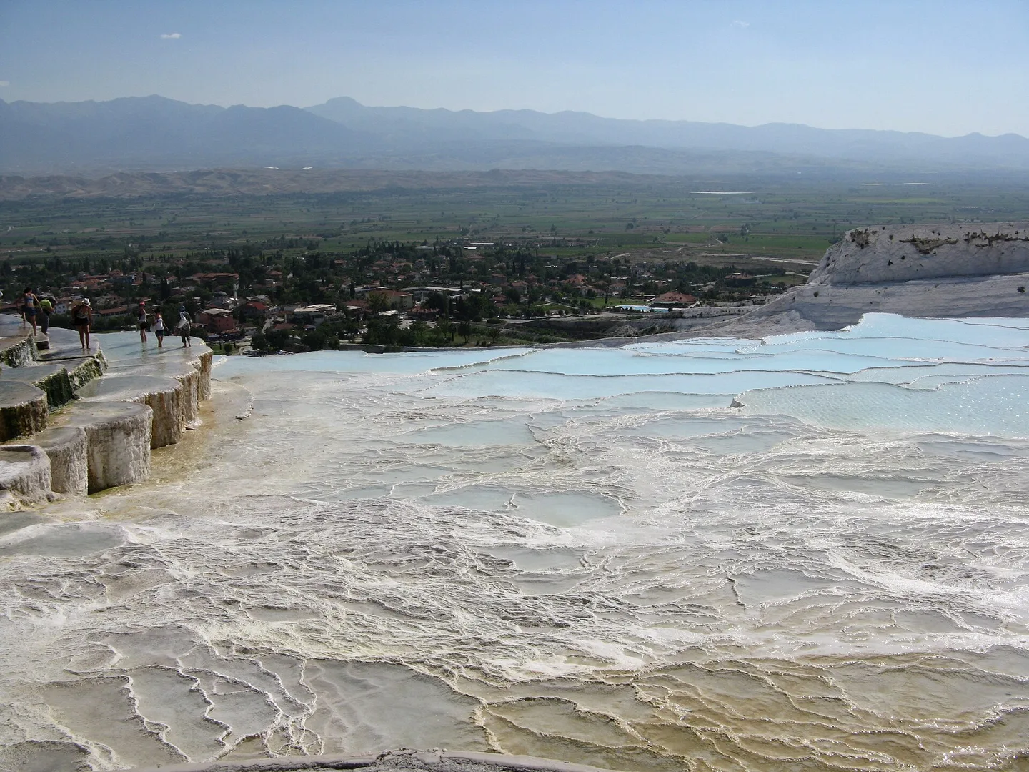
Visitors who stay in the lower village look upward at the white terraces throughout the evening. Staying down below gives travellers convenient access to family guesthouses, small cafes, and peaceful park spaces. Before climbing the slopes, study our breakdown of ticket arrangements and site access to choose the right gate for your route.
Water cascades across the cliff faces through controlled channels built to shield the fragile calcium shelves. Over thousands of years, these mineral-rich flows built shallow scalloped basins overlooking green farmland below. Photographers often favour the lower valley rim because angled light sharpens the steep terraced contours.
Choosing Your Entrance Gate across the Plateau
The archaeological park features three distinct entrances, each demanding a different walking gradient and pace. Selecting the right entry point saves unnecessary uphill climbing during warm midday sun.
| Gate Location | Initial Sights | Walking Profile |
|---|---|---|
| Town Gate (Lower) | Active public travertine flumes | Steep uphill barefoot climb |
| South Gate (Upper) | Antique Pool and Roman Theatre | Flat paved plateau walks |
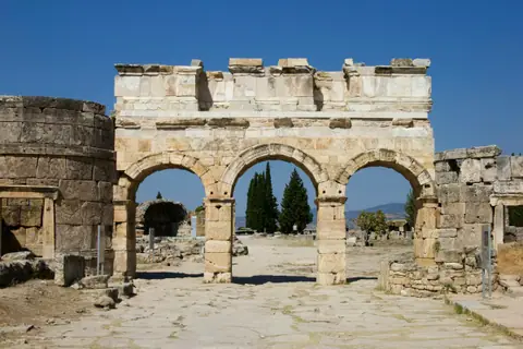
| North Gate (Upper) | Northern Necropolis and Frontinus Gate | Long gentle descent past tombs |
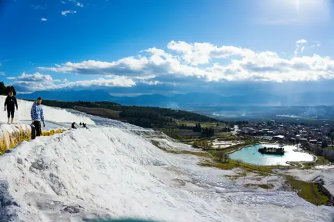
The Town Gate requires removing footwear immediately at the valley base. Visitors then walk barefoot up the wet, textured limestone flume beside shallow warm pools. The South Gate, reached by taxi or minibus along the plateau road, drops passengers directly on flat ground beside the museum.
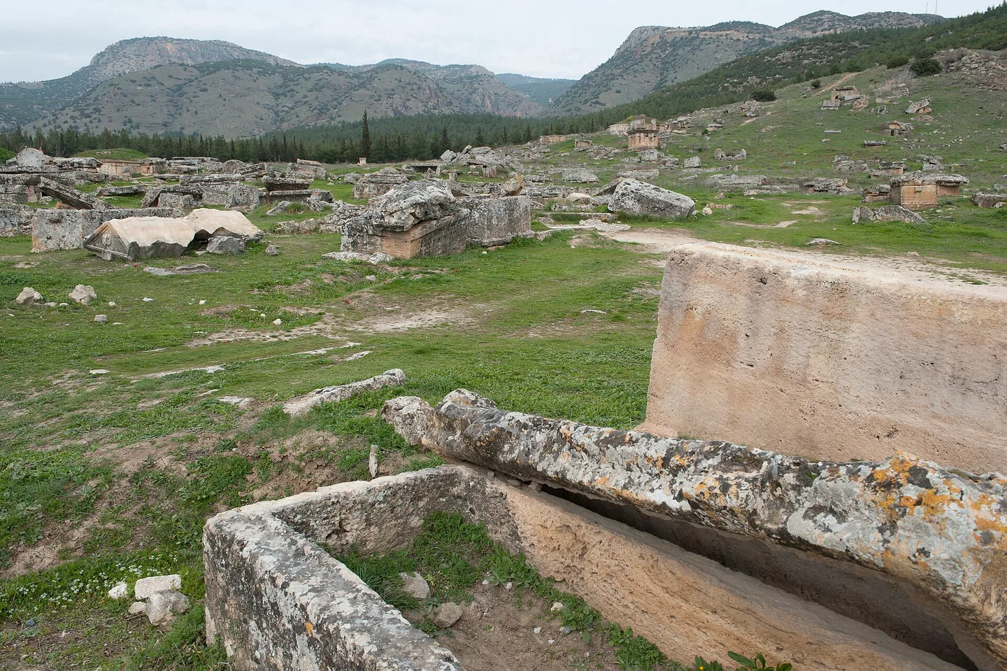
The North Gate lies beyond the wide field of ancient sarcophagi. Entering here leads walkers gently through the quiet necropolis toward the monumental Roman street and the cliffside pools. Follow transit routes and minibus terminals across regional buses and airport shuttles before heading up from Denizli.
Choosing an upper gate allows a steady downhill walk toward the lower village exit at dusk. Walking downhill saves energy in warm seasons while keeping sweeping valley panoramas ahead.
Valley Excursions to Laodicea and Karahayit
The surrounding Denizli basin holds rewarding archaeological and geological sites beyond the main white cliff. A short road trip north reaches the spa hamlet of Karahayit. There, thermal waters emerge hot from underground seams, staining surrounding boulders deep red, orange, and ochre.
Southward toward Denizli city centre stands the sprawling classical site of Laodicea. This prosperous trade hub features excavated colonnaded avenues, restored temple podiums, and early Christian basilicas. Because coastal day coaches usually skip Laodicea, its quiet marble streets offer calm contrast beside busy travertine terraces.
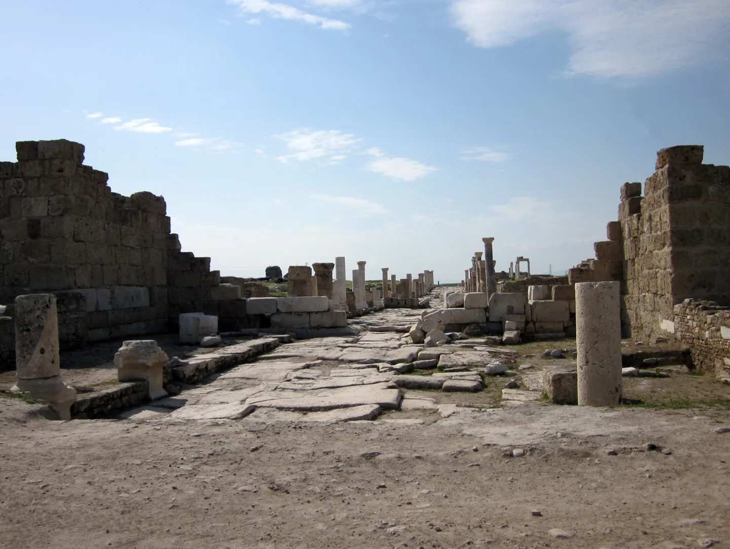
Balance time between expansive valley ruins and upper travertine walks through key sights across Hierapolis. Organise combined valley admissions cleanly around the upper archaeological gate and nearby ruins.
Laodicea flourished as an ancient banking and textile city famed for dark woollen cloth and its medical school. Excavations have raised long rows of columns along Syria Street, showing visitors the grand scale of Roman civic planning.
Crowd Pacing, Village Life and Local Aegean Dining
Coastal day tours regularly fill the central travertine path from mid-morning until mid-afternoon. Independent guests sleeping in Pamukkale village step onto calm pale shelves ahead of arriving tour buses.
- Enter the upper plateau at opening light for cool air, clean camera angles, and quiet paved avenues.
- Reserve midday hours for shaded village courtyard lunches or nearby quiet excavations at Laodicea.
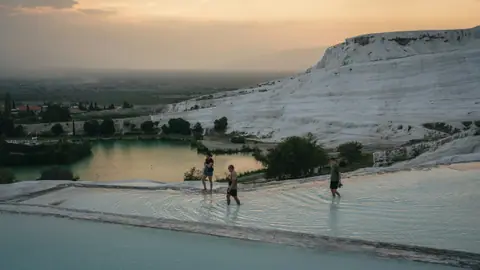
- Return onto white terrace edges near sunset after coach groups depart toward coastal resorts.
Village kitchens follow rural Aegean and Anatolian harvests. Tables pair stuffed vine leaves and garlicky strained yoghurt with crisp sesame flatbread and slow-roasted lamb. Scented thyme honey, sweet summer melons, and cold-pressed olive oil anchor meals across the valley plain.
Small family restaurants line back lanes behind the municipal travertine lake. Courtyard tables serve slow-cooked clay vegetable casseroles alongside blistered wood-fired pide pulled fresh from stone ovens.
Where it is
- 1Pamukkale
- Dalaman International Airport (DLM) · about 137 km from Pamukkale in a straight line
- Directions in Google Maps
Stations and taxi ranks: OpenStreetMap. Airports: OurAirports. Distances are in a straight line.
Traveller tips
Real advice from people who have been to Pamukkale. Every tip is read by our team before it goes live.
No tips yet. Been here? Yours could be the first.
Thank you! Your tip will appear here after a quick review.
More in Pamukkale
Continue exploring Pamukkale with related neighbourhood, food, and planning guides
Travelling to Pamukkale: Denizli Rail, Flights and Coach Routes
Pamukkale, Turkey
Pamukkale and Hierapolis Entry Tickets: Official Rules and Gate Tips
Pamukkale, Turkey
Pamukkale Seasonal Climate Guide: Spring Warmth, Glare and Winter Pools
Pamukkale, Turkey
What to Wear to Pamukkale: Barefoot Travertines and Ruin Walking
Pamukkale, Turkey
