Getting Around Tbilisi: Metro, Bus, Ropeway and Hills
Use walking for the historic centre, TTC route planning for longer trips, and check live rules for buses, metro and the Narikala ropeway.
Tbilisi is walkable in pieces, not uniformly easy on foot. The central river corridor links several visitor districts, but steep slopes, stairs and bridge crossings shape the effort. Walk the Old Town when the lanes themselves are part of the visit. Use public transport when you need to cross a larger stretch or save energy for a hilltop route. Tbilisi Transport Company operates the metro and municipal buses, and its official app provides route-planning information. Check the operator's current maps, payment rules and service notices rather than relying on an old screenshot.
The most common planning mistake is treating straight-line distance as walking time. A hotel may look close to Narikala but sit on the opposite slope, or a sight may be across the river with a single convenient crossing. Check the route profile and distance. For the airport, route 337 is listed on the airport's official bus page, but service arrangements can change. Read our arrival guide for the separate airport decision.
Walk the historic core in short sections
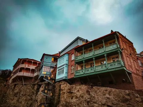
Walking gives the best sense of how Tbilisi fits around the river and its slopes. Meidani, Abanotubani, the gorge route and nearby old lanes can be explored as a connected area. Keep the route flexible because paving, construction or weather may alter the easiest path. Wear shoes that grip on stone, and avoid planning a steep ascent immediately after a long meal or arrival journey.
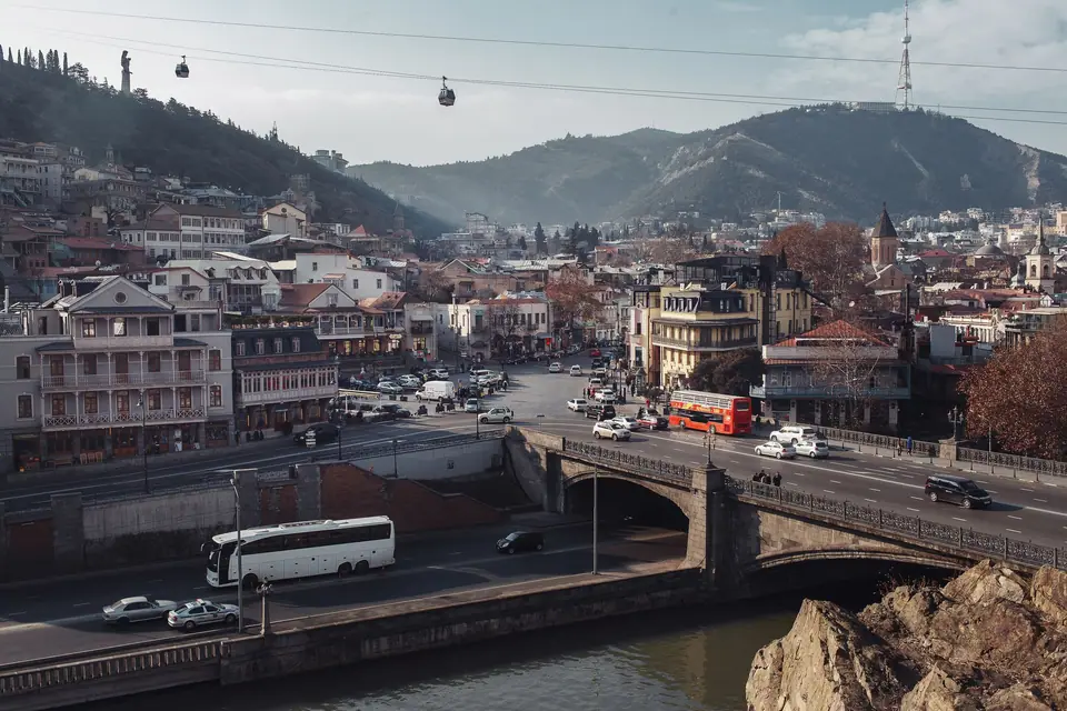
When moving between the Old Town and Avlabari, choose a bridge based on the next stop rather than crossing at the nearest suitable crossing. The riverbanks do not always provide a continuous, direct promenade. If your day includes Narikala, decide whether you want to walk uphill or use the ropeway. Do not assume both options begin at the same point or that the service will operate without interruption. The dedicated Old Town route and Avlabari guide explain the main crossings.
Metro and bus for cross-city journeys
The metro is useful for longer journeys through the city and for reaching areas beyond the tourist core. Municipal buses extend the network, but an unfamiliar route can be less intuitive than a walk in the centre. Use the TTC app or official website to confirm stop names and route connections. Check that the stop shown is on the correct side of the street and that a service is running at the time you need it.
Before boarding, confirm the current fare medium and validation rule on the operator's own information. Payment methods can differ by mode and may change. Do not assume that a foreign bank card, mobile wallet or one transport card works everywhere. If you need a physical card, find out where it can be purchased and topped up. Keep the card or payment device accessible until the journey ends, and ask a station staff member if instructions are unclear.
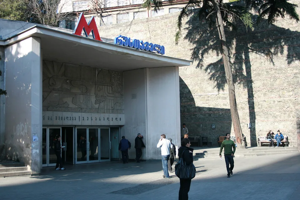
Station names may appear in both Georgian script and Latin transliteration. Match the name against the destination on the official route planner rather than guessing from sound alone. Save your hotel address in both a map and text form, since spelling differences can produce confusing search results. If the bus stop is not clearly signed in English, use the route number and destination shown by the official TTC source.
Ropeway and hillside transport
The Rike Park to Narikala ropeway offers a way to reach the fortress slope without making the entire climb on foot. Tbilisi Transport Company includes the ropeway among its services. It is an option, not a guarantee: check operating status, access arrangements and payment information before setting your itinerary. If there is a queue, closure or weather disruption, decide whether the walk down or another nearby route suits you. Avoid making a timed dinner reservation depend on an unverified ride.
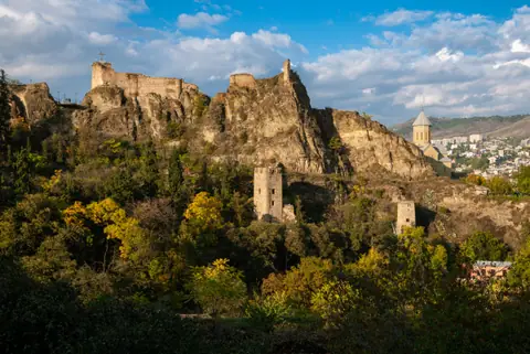
Mtatsminda is another elevated destination, but its route and transport choices differ from the Narikala side. Check the official information for the specific service you intend to use and allow time for the return. A city map may make the hills look close together, but they are separate outings. Our Narikala guide keeps that hilltop visit distinct from the botanical garden and other slopes.
Cars, taxis and drop-off points
A car can help when luggage, mobility or a late arrival makes a bus connection awkward. It is less useful for sightseeing in the narrow historic lanes, where walking remains necessary and vehicle access may be limited. Agree a clear pickup location and destination with the driver, and confirm the route in an app before setting off. When leaving from a busy street, choose a safe meeting point that does not block traffic.
For hotel transfers, ask the host where a car can stop. A pin placed at the building may not correspond to a legal or practical stopping point on a narrow lane. If you travel with a child seat or accessibility equipment, confirm availability in advance rather than assuming a car service can supply it. During peak traffic, road journeys can take longer than expected, so avoid tight connections.
Accessibility and fatigue
Historic slopes and uneven surfaces can make Tbilisi challenging for wheelchair users and travellers who avoid stairs. Check each route in detail and contact attractions or accommodation directly about step-free access. Do not rely on a general claim that a district is walkable. A single staircase or steep final approach can change the practical answer.
Plan rest stops before fatigue sets in. Combine one climb with a nearby meal or indoor visit, not several separate ascents. If you use public transport, check which entrance and exit serve your destination because stations can have more than one street access. Keep a backup car route for a day when walking becomes uncomfortable. Our accommodation guide helps you choose a base with the return journey in mind.
Simple transport habits that help
- Official route / old screenshot: Recheck the TTC app or website shortly before travel.
- Map distance / actual climb: Inspect elevation and stairs before choosing to walk.
- River crossing / straight line: Select a bridge that connects your actual next stop.
- Ropeway plan / backup route: Confirm live operation and keep a walking or car alternative.
- Hotel pin / vehicle entrance: Ask the property where a taxi can safely stop.
For a practical overview of how these journeys fit the city's districts, read the travel guide. If you are deciding which areas to connect on foot, our three-day itinerary avoids repeated crossings. Transport works best when it supports a district-based plan rather than replacing one.
Sources we checked
Where it is
- 1Tbilisi
- Tbilisi International Airport (TBS) · about 12 km from Tbilisi in a straight line
- Directions in Google Maps
Stations and taxi ranks: OpenStreetMap. Airports: OurAirports. Distances are in a straight line.
Traveller tips
Real advice from people who have been to Tbilisi. Every tip is read by our team before it goes live.
No tips yet. Been here? Yours could be the first.
Thank you! Your tip will appear here after a quick review.
More in Tbilisi
Continue exploring Tbilisi with related neighbourhood, food, and planning guides