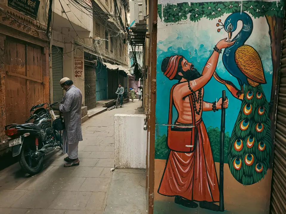
Varanasi's Old-City Lanes and Ghats: A Respectful Walking Plan
How to orient yourself between the old lanes and the stepped Ganges riverfront.
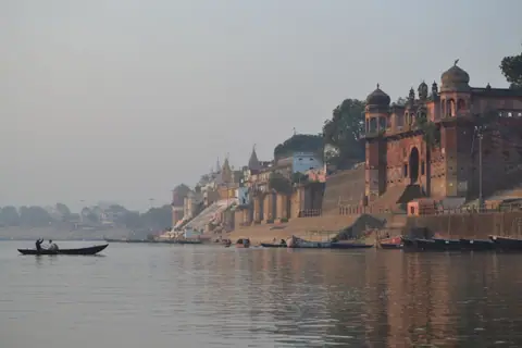
Varanasi's old city is easiest to understand as two connected but different environments: the narrow streets behind the river and the stepped ghats at the water's edge. The district describes ghats as steps leading down to the Ganga, while the Kashi portal lists named places including Dashashwamedh, Assi, Manikarnika and Namo. They are not interchangeable stops, and their access and uses differ. A good walk focuses on orientation rather than collecting every name. Check current access, use public routes and keep the final route back to your vehicle clear. Our getting-around guide explains how vehicle restrictions affect the approach.
Understand the change from lane to river step
The old-city lanes and ghats meet at a series of approaches. A vehicle may take you towards the general area, but the final part can require walking. The temple trust identifies the Godowlia to Maidagin area as vehicle-restricted, which is particularly important near the central temple district. A map showing a short distance does not mean a car can travel directly to a ghat or accommodation entrance.
Before leaving, choose a recognisable starting point and confirm where your driver will wait. Keep that landmark written down, and ask how to return to it. Avoid building an exact lane-by-lane route from an unverified blog or a screenshot. Lanes can be confusing to a first-time visitor, and current local directions are more useful than a route description that may not reflect today's access.
Once on foot, follow signs and directions from people responsible for the place. Do not enter a private doorway or a restricted religious area because it appears to connect to the river. If an approach is closed or unclear, return to a public lane and use another verified access point. Our orientation guide lays out the city's larger districts before you begin.
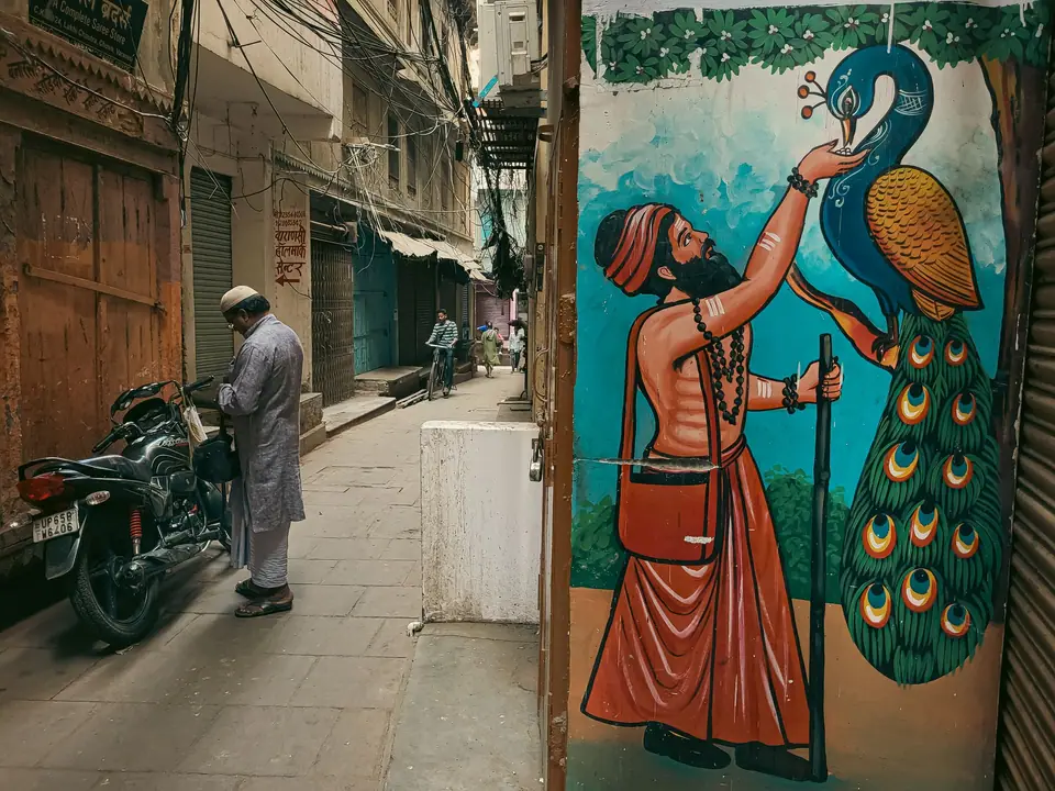
Choose a ghat by name and purpose
The official Kashi portal lists Dashashwamedh, Assi, Manikarnika and Namo as separate ghats. Dashashwamedh is described as close to Shri Kashi Vishwanath Temple, but that does not make it the same visit as the temple precinct. Check the temple trust separately for its entry and device rules. For a specific riverfront stop, confirm the correct name and approach instead of asking a driver simply for “the ghats”.
A walk can focus on the architecture of the river edge, the relationship between steps and streets, or a particular public ghat. It does not need to include every location. Choose a segment that fits the amount of walking your party wants to do, and allow for changes in water conditions or access. The trust warns that Ganga Dwar access can change, so a route that depends on one entrance should have an alternative.
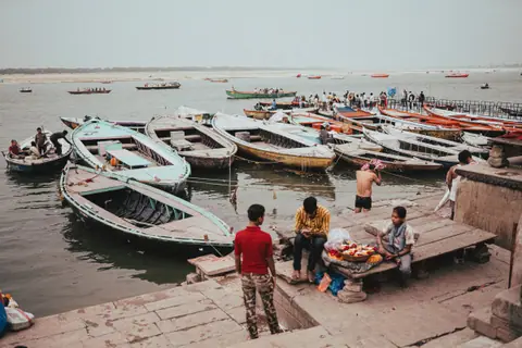
Some ghats are active religious places, not scenic sets. The research sources do not provide a complete etiquette code for every site. Use restraint: observe posted instructions, avoid obstructing people using the space and do not photograph individuals or sensitive activities without permission. In particular, cremation sites are active religious settings. Do not frame them as spectacles or encourage photography there.
Dashashwamedh and the central approach
Dashashwamedh Ghat is one of the named riverfront places on the Kashi portal, which notes its proximity to Shri Kashi Vishwanath Temple. That geography makes it possible to think of the ghat and temple as nearby but distinct visits. Access rules for the temple do not automatically apply to the entire riverfront, and a public ghat visit does not grant entry to temple premises.
Plan the approach from the lane network, then confirm any current restrictions before leaving. If you intend to visit both the temple and the riverfront, check the temple trust notice first and avoid assuming you can carry the same items into both places. The temple trust currently prohibits electronic devices inside temple premises. Review the latest official notice because requirements can change. The separate temple guide helps you prepare for that visit.
Assi and the southern stretch
Assi Ghat belongs to the southern riverfront and has its own official listing. The Kashi portal places it at the confluence of the Assi River and the Ganga and describes an evening aarti. Incredible India refers to Subah-e-Banaras, a programme associated with sunrise activities. These descriptions establish the site's identity, not a guarantee that a particular programme will take place on your date.
Approach Assi as a separate stop rather than assuming it is a short extension of a central ghat walk. Check current local information if a programme is the main reason for visiting. Our Assi Ghat guide focuses on this southern area and the limits of relying on a published programme description.
A simple walking structure
- Set a start point: choose a known public landmark and confirm the vehicle drop-off.
- Walk one lane approach: follow signs and current local directions rather than an unverified turn-by-turn route.
- Choose one named ghat: check its approach and current access before committing.
- Pause without blocking activity: give local users room and follow posted instructions.
- Return by a confirmed route: keep the pickup point and contact details accessible offline.
This is not a formal mapped trail. It is a cautious way to explore a dense area without assuming that every lane is public or that all vehicle access is the same. If you need a precise route for mobility reasons, ask your accommodation or a local official source for current directions. Do not depend on a general travel article for step-free access details.
Respect is part of route planning
Varanasi's riverfront is used by residents and visitors for different purposes. The official directories identify attractions, but they do not make every part of a ghat an observation area. Keep voices and movement considerate, follow instructions and leave working spaces clear. If you are unsure whether an area is open to visitors, ask an authorised person rather than walking through.
Photography needs the same care. The available official sources do not establish a blanket permission for taking photographs at every ghat or religious setting. Respect signs, privacy and direct requests. Do not photograph cremation activities as a travel attraction. This guidance is a minimum courtesy, not a claim that it covers every local practice.
When to stop and change the plan
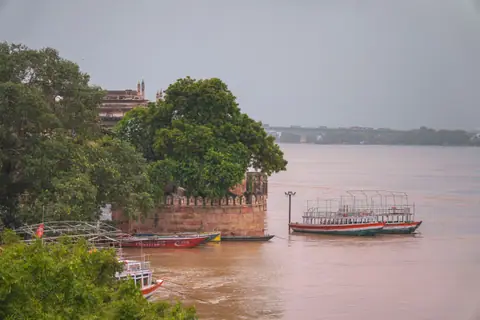
If the lane is blocked, a route is unclear or river access has changed, do not force the planned circuit. Return to the last recognisable public point and ask for current directions. The temple trust notes that river entrance conditions can change. A separate ghat or a street-level walk may be a sensible substitute, subject to current access.
For a first visit, one carefully chosen stretch can be more useful than a long walk that leaves no time to understand the place. Combine it with the sightseeing overview and keep a separate day for Sarnath. That keeps the riverfront distinct from the archaeological excursion and avoids treating the city's different settings as one continuous attraction.
Where it is
- 1Varanasi
- Lal Bahadur Shastri International Airport (VNS) · about 19 km from Varanasi in a straight line
- Directions in Google Maps
Stations and taxi ranks: OpenStreetMap. Airports: OurAirports. Distances are in a straight line.
Traveller tips
Real advice from people who have been to Varanasi. Every tip is read by our team before it goes live.
No tips yet. Been here? Yours could be the first.
Thank you! Your tip will appear here after a quick review.
More in Varanasi
Continue exploring Varanasi with related neighbourhood, food, and planning guides