


























Bogotá: Complete Planning for Colombia's Andean Capital
Plan a rewarding trip to Bogotá with practical advice on its 2,640-metre altitude, the Carrera and Calle street grid, key localities, and transport.
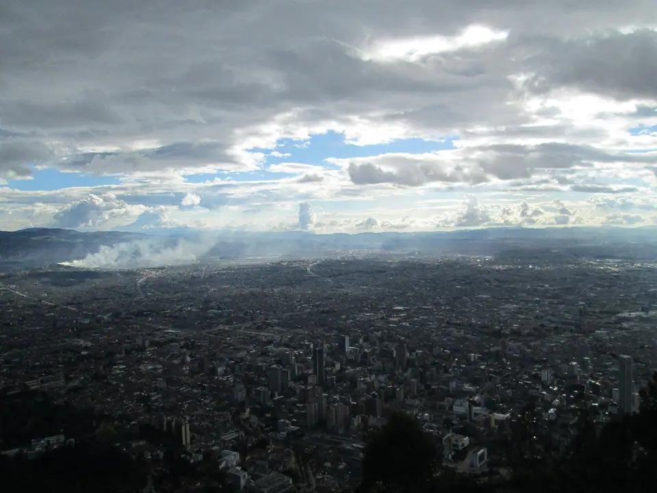
Resting on a high plateau in the Eastern Cordillera of the Andes at 2,640 metres (8,660 feet) above sea level, Bogotá is a vast highland metropolis where Muisca indigenous heritage, Spanish viceregal architecture, and red-brick modernist landmarks meet beneath the steep green wall of the Cerros Orientales. Founded on 6 August 1538 by Gonzalo Jiménez de Quesada near the Muisca stronghold of Bacatá, the city grew from a compact grid of cobbled streets around Plaza Mayor into Colombia's political and cultural heart.
Reading the Mountain Compass and Street Grid
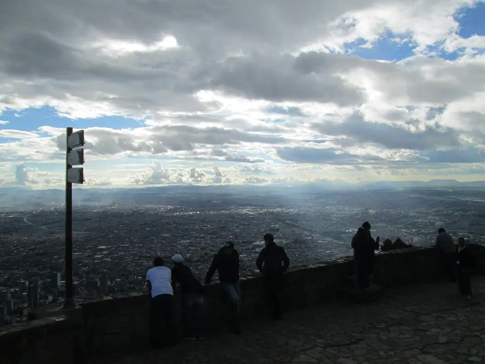
Navigating Bogotá becomes straightforward once you use the Eastern Hills (Cerros Orientales) as a permanent natural compass. The mountains border the city along the east, crowned by the white basilica on Cerro de Monserrate at 3,152 metres. Streets running parallel to the mountain chain from south to north are called Carreras, with numbers increasing as you move west away from the hills. Streets running perpendicular to the mountains from east to west are called Calles, with numbers rising as you travel north from the historic centre in La Candelaria toward Chapinero and Usaquén.
Altitude Acclimatisation and Packing
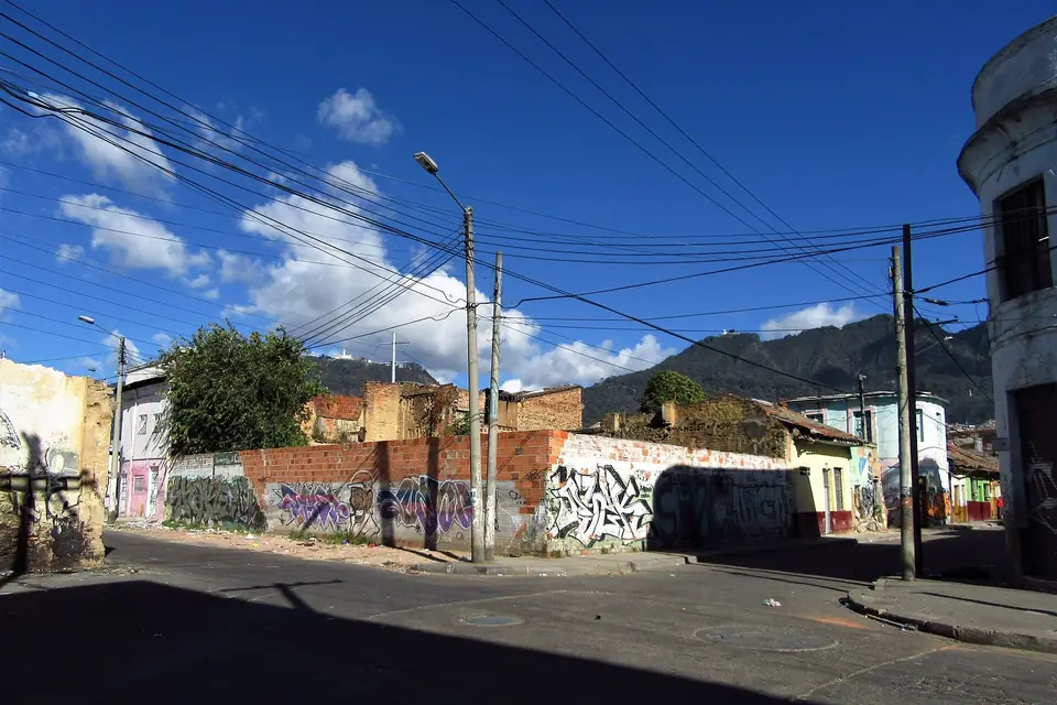
Because the Sabana de Bogotá sits more than two and a half kilometres above sea level, visitors arriving directly from sea level often notice shortness of breath on steep inclines during their first 24 hours. Keep your arrival afternoon light, drink plenty of water, and save climbs up Monserrate or hikes around Laguna de Guatavita for your second or third day. Daytime temperatures hover around 19°C to 20°C throughout the year, while nights dip to between 6°C and 9°C. Pack a waterproof windbreaker, a warm sweater or fleece, comfortable walking shoes for stone pavements, and high-factor sunscreen for the strong equatorial UV rays.
How the Localities Connect
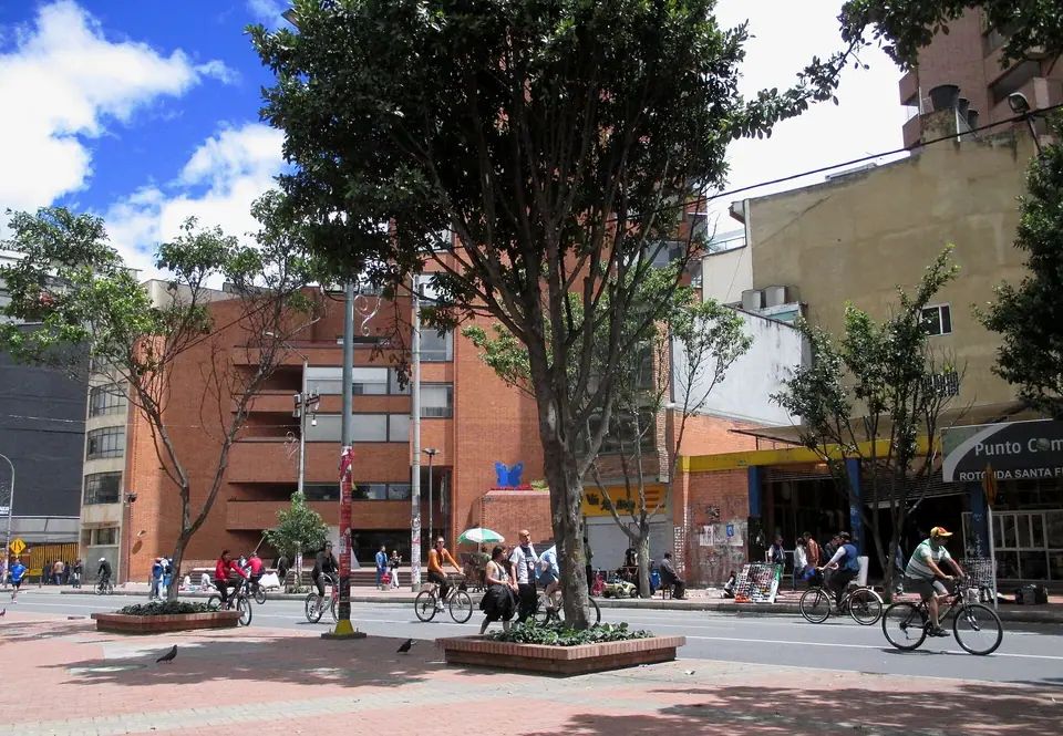
Bogotá is divided into 20 administrative localities, but most visitor sights cluster along a north-south corridor hugging the Eastern Hills. At the southern end of this corridor, Locality 17 (La Candelaria) and Locality 3 (Santa Fe) hold Plaza de Bolívar, the Gold Museum, Museo Botero, and Museo Nacional. Moving north along Carrera 7 and Avenida Caracas brings you into Locality 2 (Chapinero) and Locality 1 (Usaquén), while Locality 13 (Teusaquillo) to the west contains Simón Bolívar Metropolitan Park and the José Celestino Mutis Botanical Garden.
Traveller tips
Real advice from people who have been to Bogotá: Complete Planning for Colombia's Andean Capital. Every tip is read by our team before it goes live.
No tips yet. Been here? Yours could be the first.
Thank you! Your tip will appear here after a quick review.
More in Bogotá
Continue exploring Bogotá with related neighbourhood, food, and planning guides
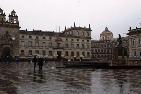
Plaza de Bolívar, Catedral Primada, Capitolio Nacional and Casa de Nariño
Bogotá, Colombia
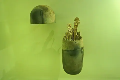
Museo del Oro: Pre-Columbian Gold, the Muisca Raft and Tumbaga Craft
Bogotá, Colombia
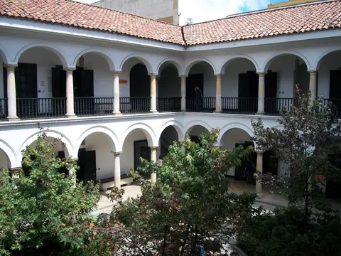
Museo Botero, Casa de Moneda and the Banco de la República Cultural Block
Bogotá, Colombia
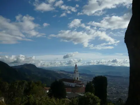
Cerro de Monserrate: Funicular, Teleférico, Shrine and Quinta de Bolívar
Bogotá, Colombia
