


























Photo: Wikimedia Commons · CC BY-SA 4.0
Vernazza Guide: Doria Castle, Santa Margherita Church & Harbour
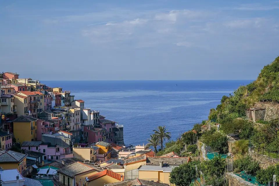
Inside the natural port of Vernazza in Cinque Terre, where a church built directly into sea rock faces the medieval Belforte watchtower of Castello Doria.
Vernazza sits inside the mouth of the Vernazzola torrent behind a hook-shaped rocky promontory. That natural headland shields the sheltered port of the village. Historical charters record the settlement as Vulnetia during the medieval period. At that time, its fortified cliff served as a naval base for the Obertenghi marquises and Da Passano lords. The port passed in time to the Maritime Republic of Genoa. Genoese shipwrights and stonecutters then transformed Vernazza into a miniature port town with colonnaded loggias, slate portals, and twin defensive towers. A flash flood buried the ground floor of the village under deep mud during an autumn storm. Residents excavated the street level and restored every stone square to its historic form.
Walking Via Roma from the railway station to Piazza Marconi harbour
Vernazza's railway station sits inside a narrow ravine cut between two rock tunnels just two hundred metres inland from the sea. Stepping down the station stairs places you directly onto the cobbled main street of Via Roma. Via Roma mirrors the main spines of Riomaggiore and Manarola. Engineers created the avenue in the nineteenth century by vaulting over the lower bed of the Vernazzola stream. Walking gently downhill toward the water, you pass beneath the brick arches of the railway viaduct. Focaccia bakeries, gelato parlours, and stone archways into vertical side alleys (caruggi) line the street.
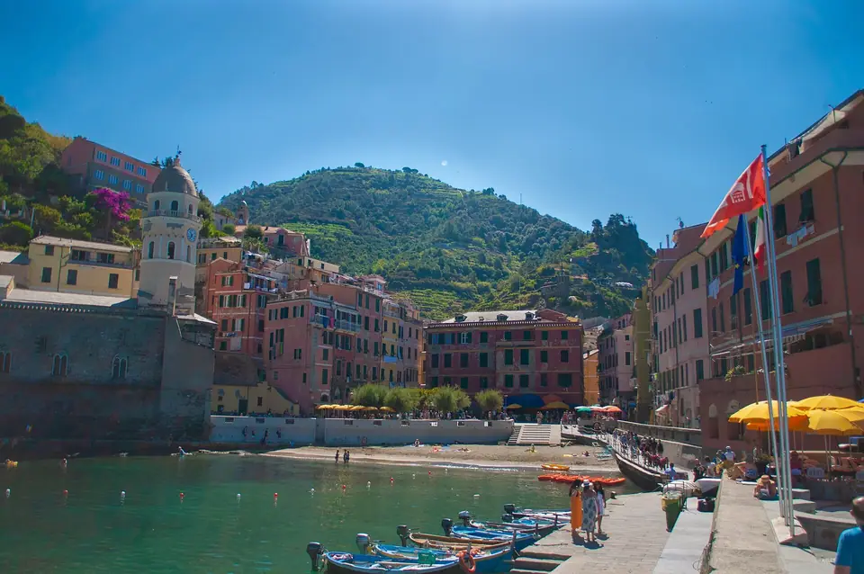
At the foot of Via Roma, the ravine suddenly opens onto the sun-drenched semicircular amphitheatre of Piazza Guglielmo Marconi and the Marina di Vernazza. Painted wooden fishing boats (gozzi) rest pulled up on the cobblestones beside waterfront restaurant parasols. Right at the edge of the piazza lies a small triangular pocket of golden sand. Children wade here into the calm turquoise water sheltered by the L-shaped stone breakwater pier. At the outer tip of that breakwater docks the coastal ferry arriving from Monterosso and Portovenere.
| Vernazza Landmark | Location / Sector | Historical Notes | Access & Visiting Notes |
|---|---|---|---|
| Piazza Marconi & Harbour Pier | Foot of Via Roma | Medieval natural port | Small sand beach, breakwater promenade, ferry pier |
| Church of Santa Margherita | Northern rock ledge of port | Gothic foundations | Entered via eastern apse; octagonal bell tower |
| Castello Doria & Belforte | Southern cliff spur | Medieval fortress | Climb Via San Cristoforo; modest municipal entry token |
| Rock-Tunnel Pebble Cove | Left of Via Roma tunnel | Natural sea cavern | Flat cavern trail through cliff to pebble beach |
| North & South Trail Viewpoints | SVA2 trailheads | Medieval mule tracks | Stair climbs for classic aerial harbour photos |
The historic Church of Santa Margherita d'Antiochia built into the sea rock
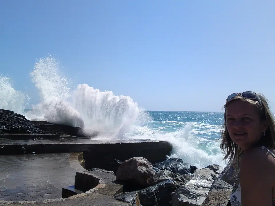
The Church of Santa Margherita d'Antiochia (Chiesa di Santa Margherita d'Antiochia) anchors the northern edge of Piazza Marconi. Its sea-level architecture makes it one of the most unusual medieval parish churches in Liguria. According to local legend, villagers found a carved wooden box containing the finger bone relics of Saint Margaret of Antioch washed ashore on the harbour rocks. They vowed to build a sanctuary on that exact spot. Built centuries ago, the church rises straight out of the surf-washed harbour bedrock. Master builders known as the Maestri Antelami constructed it in Ligurian Gothic style using dark Punta Mesco stone.
Builders enlarged the church during later centuries to serve a growing population. Because the harbour piazza left no room to extend the western nave, they reversed the layout. Architects knocked down the original western facade and extended the three-aisled hall eastward over the sea cliff. They then moved the main entrance to the eastern apse via an elevated stone bridge. Step inside to walk on dark slate flagstones beneath monolithic black-stone columns and look out through narrow windows directly at the waves below. Directly above the apse vaults soars the octagonal bell tower (campanile) capped by a pointed cusp dome.
Climbing to medieval Castello Doria and the Belforte tower
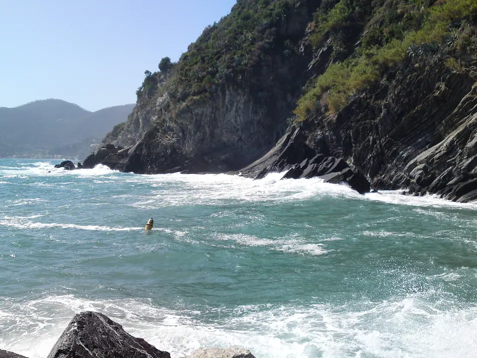
Directly across the harbour basin from Santa Margherita Church rises the southern cliff spur. Stone ramparts of Castello Doria and its cylindrical keep, the Belforte, crown the headland. The fortress originated under the Obertenghi rulers and saw reconstruction by Genoa. Its irregular stone curtain walls follow the natural contours of the rock headland. Its outer stone walls merged seamlessly with the surrounding medieval tower-houses. Invaders approaching from the sea struggled to tell where the village ended and the military citadel began.
To reach the castle from Piazza Marconi, turn left through the vaulted stone arcade under the waterfront restaurants. From there, climb the steep slate stairs of Via San Cristoforo. Pass the small municipal ticket kiosk to step onto the wind-swept stone bastion terrace. In the centre rises the cylindrical Belforte watchtower, a prominent medieval structure in Vernazza. Climb the internal wooden steps to the top of the cylinder for a wide coastal panorama. Views stretch from the Monterosso headland in the north to cliff-top Corniglia in the south.
The rock-tunnel pebble beach and the two classic aerial trail viewpoints
While the small sand strip on Piazza Marconi suits quick dips inside the harbour wall, a much larger pebble beach hides just south of the village. Walking down Via Roma from the train station, watch on your left just before the square. A wide natural fissure opens directly through the dark rock cliff. Walk through this cool stone cavern tunnel to reach Vernazza's second beach. We cover this open pebble-and-boulder cove in our Cinque Terre swimming guide.
Even if you skip a multi-hour trek between villages, climb uphill along either coastal trailhead. Both Sentiero Verde-Azzurro trailheads offer famous aerial views of Vernazza. Remember to wear the closed, lug-soled shoes required by our packing guide:
- The Northern Viewpoint (Monterosso Trailhead). Climb the stone stairs behind the Church of Santa Margherita. Follow the narrow path past the cemetery toward the Monterosso trail checkpoint. Just before the checkpoint kiosk, a gap in the dry-stone wall opens above the sea. It frames the classic downward view of the harbour basin, octagonal church tower, and Castello Doria.
- The Southern Viewpoint (Corniglia Trailhead & Torre del Convento). Climb the stairs on the eastern side of Via Roma toward the Corniglia trailhead. You pass the medieval round watchtower of the former Franciscan monastery, now the town hall. Looking back from the olive terraces at dusk captures the entire colourful crescent of Vernazza glowing against the evening sea.
Hiking inland trail routes to the Sanctuary of Nostra Signora di Reggio
When midday train crowds pack Via Roma, step onto the historic stone path behind the railway station. This medieval Via Crucis staircase climbs inland up the hillside. Shaded by holm oaks and olive terraces, the path leads to the quiet plateau of the Santuario di Nostra Signora di Reggio. Documented over an early crypt, the church faces a grassy piazza shaded by ancient cypress and hackberry trees. Inside, pilgrims venerate the dark-skinned painting of the Madonna Nera (L'Africana). Resting on the stone benches beneath the ancient trees offers a cool, fragrant break before descending back toward the harbour. Back at Piazza Marconi in the evening, lantern reflections shimmer across the calm water as fishing boats rock gently inside the pier. Sitting on the stone breakwater during the late afternoon lets you watch fishing skiffs bobbing in the sheltered basin. Exploring the narrow stone arcades behind the main street reveals cool shaded passages built for maritime defense.
Where it is
- 1Vernazza
- Pisa International Airport (PSA) · about 76 km from here in a straight line
- Directions in Google Maps
Stations and taxi ranks: OpenStreetMap. Airports: OurAirports. Distances are in a straight line.
Traveller tips
Real advice from people who have been to Cinque Terre. Every tip is read by our team before it goes live.
No tips yet. Been here? Yours could be the first.
Thank you! Your tip will appear here after a quick review.
More in Cinque Terre
Continue exploring Cinque Terre with related neighbourhood, food, and planning guides
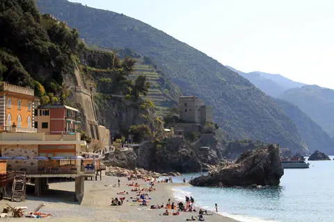
Monterosso al Mare Guide: Fegina Beach, Aurora Tower & Old Town
Cinque Terre, Italy
Cinque Terre Hiking Trails: Blue Trail, Sanctuary Paths & Rules
Cinque Terre, Italy
Cinque Terre Card Guide: Express Trains, Trail Passes & Ferries
Cinque Terre, Italy
Portovenere Day Trip: San Pietro Church, Byron Grotto & Palmaria
Cinque Terre, Italy
