


























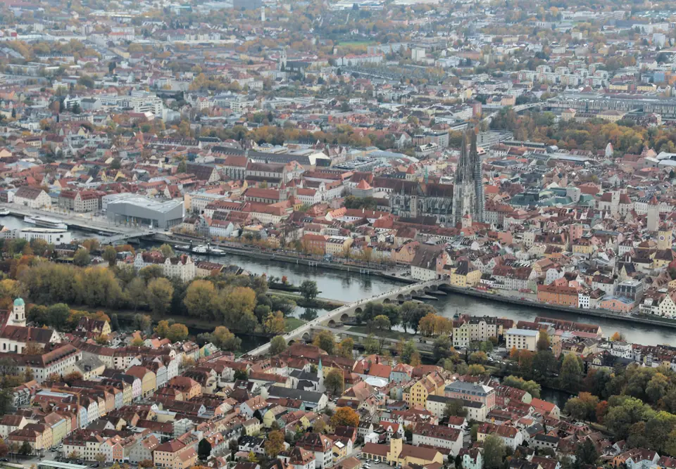
Photo: Alois Köppl, Gleiritsch · CC BY 3.0
Regensburg on the Danube: Roman Stones, Tower Houses and Imperial Rule
How a Roman legionary camp at the Danube bend became a medieval Free Imperial City, escaped 1945 carpet bombing, and preserved nearly 1,000 monuments.
Stand atop the Stone Bridge and three forces that built Regensburg fall cleanly into sight. At roughly 337 metres above sea level in eastern Bavaria (spanning 323 to over 400 metres across valley slopes), the Danube hits its northernmost bend where the Naab and Regen join it. Serving as regional capital of Bavaria's Upper Palatinate (Oberpfalz), the river elbow shaped two millennia of settlement. Bavaria's fourth-largest city holds roughly 151,517 primary residents across 80.76 square kilometres and 18 municipal districts, while wider registries reach 179,000 inside a region exceeding 700,000 inhabitants. In July 2006, UNESCO inscribed the Old Town and across-river Stadtamhof under Reference 1155. That 182.8-hectare core and 775.6-hectare buffer zone preserve nearly 1,000 historic monuments.
Roman Castra Regina Beneath the Medieval Grid
Long before Bavarian dukes ruled here, river geography dictated military stone. Around AD 90, Roman builders placed an auxiliary fort beside a Celtic settlement called Radasbona. Under Emperor Marcus Aurelius in AD 179, Legio III Italica raised the massive legionary fortress of Castra Regina directly along the river terrace. Straight Roman camp roads still govern central shopping lanes between Neupfarrplatz and Domplatz. Facing the episcopal courtyard stands the towering Porta Praetoria. Its weathered limestone arch blocks survive today as one of the rare Roman fortress gates north of the Alps.
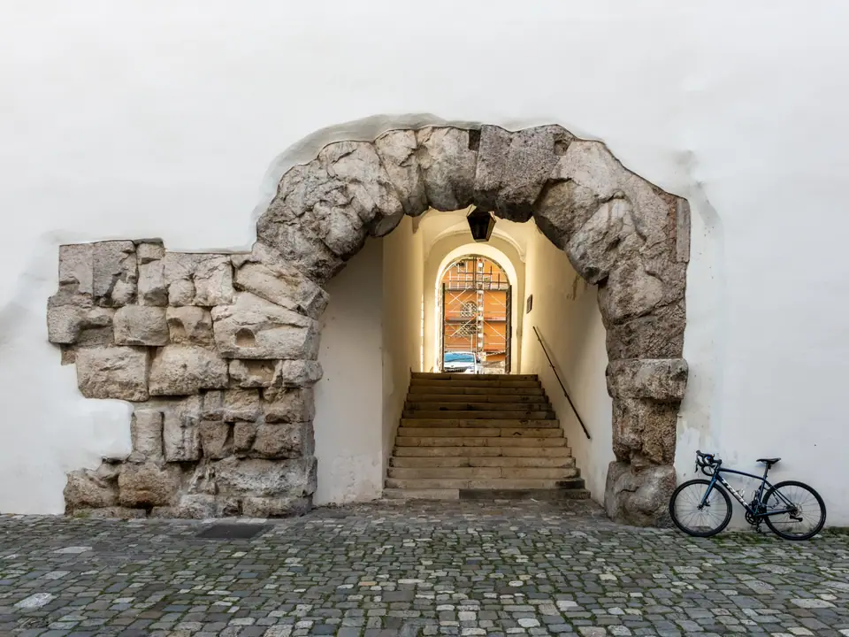
When Roman frontiers receded, early medieval rulers stepped inside those intact defensive walls. From roughly 530 into the early 13th century, Regensburg served as capital of the Bavarian Agilolfing dukes. St Boniface re-established the bishopric in 739 beside early monastic foundations including St. Emmeram Abbey and the 8th-century Alte Kapelle. Heavy stone foundations built for Roman barracks shifted into ducal courts and cloisters without erasing the ancient street rectangle.
Free Imperial City Status, Tower Houses and the 1779 Alleengürtel
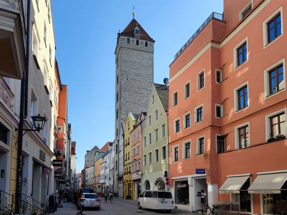
River trade turned defensive masonry into merchant pride once the Steinerne Brücke opened in 1146. Boats and wagons converged here for salt, cloth, and Danube timber shipments moving across Central Europe. Awarded Free Imperial City (Reichsstadt) independence in 1245, Regensburg answered directly to the Holy Roman Emperor rather than Bavarian dukes. Wealthy patrician families competing for commercial prestige raised soaring limestone residential towers known as Geschlechtertürme. Along Wahlenstraße 16 rises the nine-storey, 50-metre Goldener Turm built in 1260, converted in 1985 into 43 student rooms still run by student housing body STWNO. Near the water stands the c. 1260 Goliathhaus, painted across its street gable in 1573 with a giant fresco of David and Goliath.
Civic power shifted toward solemn assembly chambers over following centuries. Regensburg expelled its medieval Jewish community in 1519. Today, sculptor Dani Karavan's white stone Misrach pavement memorial traces the vanished synagogue floor across Neupfarrplatz. Hosting an Imperial Diet in 1541 and adopting the Reformation in 1542, the town hall later housed the Perpetual Imperial Diet from 1663 to 1806. Earlier, in 1779, Prince Carl Anselm of Thurn und Taxis cleared decaying ramparts to plant the curving Alleengürtel (ah-LAY-en-guer-tel). Spanning Prebrunnallee, Fürst-Anselm-Allee, and Ostenallee, that shaded green belt follows medieval curtain walls cleanly around historic cobbles.
Why Regensburg Escaped 1945 Carpet Bombing While Outskirts Burned
Arriving from heavily rebuilt German river cities such as Cologne, Frankfurt, or Dresden makes Regensburg's intact roofscape feel striking. Between 1943 and 1945, Allied bombers struck outer industrial targets heavily. Raids targeted the Messerschmitt aircraft plant and Danube oil refinery while destroying the 1010 Obermünster church in March 1945 except for its bell tower. Because strategic factories stood outside the medieval ring, dense stone townhouses inside the Alleengürtel escaped carpet bombing largely untouched. Even the Wehrmacht demolition of two Stone Bridge piers on 23 April 1945 spared adjoining river alleys.
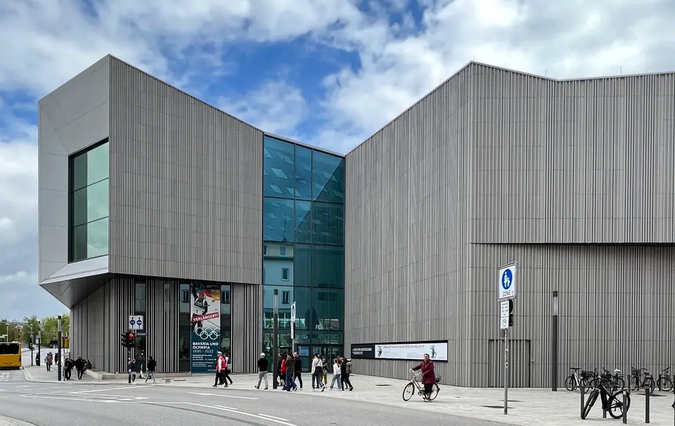
Post-war recovery wove quieter stories into central squares. From 1945 to 1949, Regensburg held Germany's largest displaced-persons camp. Wartime rescuer Oskar Schindler lived with Emilie Schindler at Watmarkt 5 between 1945 and 1946, recalled on a wall plaque steps from Domplatz. On riverfront Donaumarkt, the state opened the angular Haus der Bayerischen Geschichte (Museum of Bavarian History) in 2019. Its galleries pair Bavarian history with a bright 360-degree panorama terrace gazing directly back across cathedral spires and river piers.
Danube Bend Rhythms, Sonntagsruhe and Entry Essentials
Two full days cover Old Town streets, Dom St. Peter, and palace interiors cleanly, while a third day opens Walhalla at Donaustauf. Level river terraces mean walkers cross comfortably from Hauptbahnhof through cobbled central lanes to northern bridges in roughly twenty minutes on foot without relying on transit. Across the water, 66-hectare (163-acre) Stadtamhof marks the smallest of Regensburg's 18 districts, trading quiet island lanes for lively evening beer gardens.
Germany uses the euro, Type F sockets at 230 volts and 50 hertz, and safe municipal tap water. Bavarian Sonntagsruhe laws close standard supermarkets on Sundays, leaving bakeries, cafés, and Hauptbahnhof kiosks for weekend supplies. Non-EU arrivals follow Schengen rules permitting 90 days in any 180-day period on passports issued under 10 years ago and valid at least 3 months past exit under biometric EES checks. Drivers entering Altstadt 93047 need a green Umweltplakette sticker enforced since 15 January 2018, though Regensburg charges no overnight city tax. Direct regional rail lines connect cleanly outward toward Munich and Prague, letting the compact Danube bend reward slow walking and unhurried riverside meals.
Where it is
- 1Regensburg
- Munich Airport (MUC) · about 77 km from Regensburg in a straight line
- Directions in Google Maps
Stations and taxi ranks: OpenStreetMap. Airports: OurAirports. Distances are in a straight line.
Traveller tips
Real advice from people who have been to Regensburg. Every tip is read by our team before it goes live.
No tips yet. Been here? Yours could be the first.
Thank you! Your tip will appear here after a quick review.
More in Regensburg
Continue exploring Regensburg with related neighbourhood, food, and planning guides
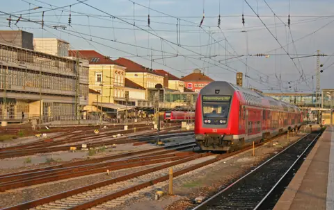
Regensburg Hauptbahnhof, Munich Airport Express and RVV Transit
Regensburg, Germany
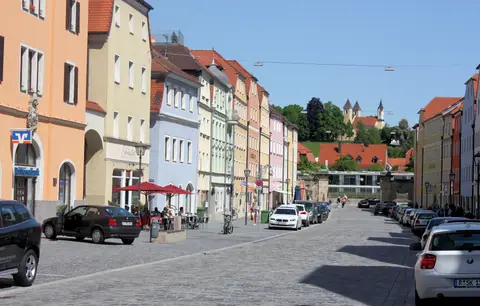
Altstadt 93047 to Island Stadtamhof: Where to Stay in Regensburg
Regensburg, Germany
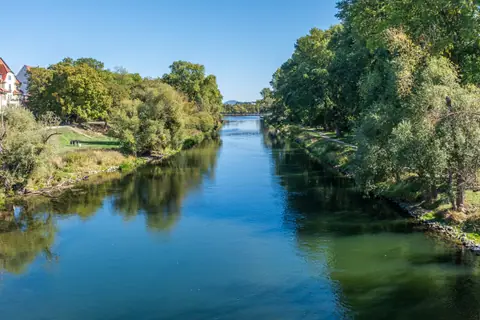
April Calm, May Dult and Four Advent Markets: Regensburg Seasons
Regensburg, Germany
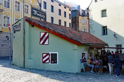
Wurstkuchl Charcoal Sausages, Regensburger Knacker and Sweet Mustard
Regensburg, Germany
