


























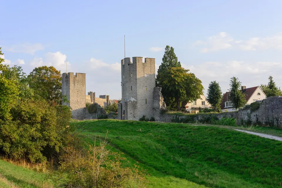
Visby City Wall and Towers: Walking the 3.44 km Medieval Ringmur
Walk the 3.44 km medieval limestone city wall of Visby (Visby ringmur), exploring Kruttornet, Norderport, Dalmanstornet, Österport, and Söderport.
Known in Swedish as Visby ringmur or Visby stadsmur, the medieval limestone circuit around Visby is the strongest and best-preserved town fortification in Scandinavia and the defining monument of the 1995 UNESCO World Heritage listing. Constructed in two principal phases during the 13th and 14th centuries around a 12th century harbour watchtower, the wall originally measured 3.6 kilometres in length; today 3.44 kilometres remain standing, reaching up to 11 metres in height.
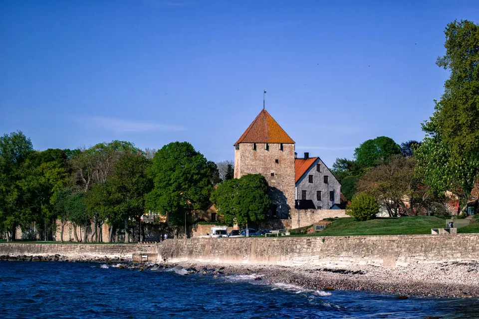
Kruttornet and the 13th Century Older Wall
The oldest element of the defences is Kruttornet (the Gunpowder Tower, originally called Lambtornet), built between 1158 and 1161 at the northern entrance to the medieval harbour lagoon that is now Almedalen. It is the oldest surviving non-religious building in the Nordic countries and only acquired the name Kruttornet in the early 18th century when gunpowder was stored inside. During the 1270s and 1280s, burghers erected the first landward stone wall at a height of 5 to 6 metres with an archer gallery and embrasures. Dendrochronological testing of original timber beams dates the eastern gate Österport to 1286, the northern gate Norderport to around 1289, and Snäckgärdsporten at the northern cliff to 1294, bracketing the 1288 civil war between the merchant burghers of Visby and the rural Gotland yeomanry.
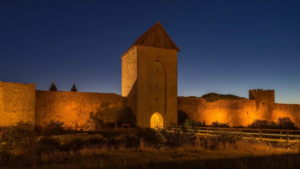
The 1350s Heightening, Ground Towers and Saddle Towers
In the 1350s, the older wall was raised by 3 to 4 metres to its present height and reinforced with roughly 20 large rectangular ground towers (marktorn) straddling the curtain wall, alongside smaller corbelled saddle towers (sadeltorn) perched directly on top of the stonework. Out of the original 29 ground towers and 22 saddle towers, 27 ground towers and 9 saddle towers survive today. Prominent towers along the northern and eastern ramparts include Silverhättan (the Silver Cap) next to Snäckgärdsporten, Sankt Göranstornet (Saint George's Gate, leading toward the medieval leper hospital of Sankt Göran), and the 17-metre-high Dalmanstornet, used in medieval times as a navigational seamark and reopened in summer for views over the town.
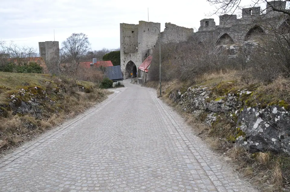
Kärleksporten, Söderport and Visborg Castle Ruins
In 1361 Danish King Valdemar Atterdag marched into Visby after defeating the islanders at Korsbetningen; later, in 1411, King Eric of Pomerania began building Visborg Castle at the southwestern corner of the wall, a fortress demolished by Danish troops in 1679 whose foundation fragments remain above the harbour. Between 1884 and 1886 architect Emil Victor Langlet restored the masonry, and in 1872 a rounded pedestrian arch called Kärleksporten (the Love Gate) was cut through the seaside wall beside DBW's Botanical Garden.
Practical Walking Route Along the Ramparts
A complete anti-clockwise walk takes 75 to 90 minutes. Start at Kruttornet, walk north along the seaside path past Kärleksporten and Snäckgärdsporten, climb beside the deep dry moat of Nordergravar to Norderport and Dalmanstornet, and continue south along Östergravar past Österport to Söderport at Södertorg.
Traveller tips
Real advice from people who have been to Visby City Wall and Towers: Walking the 3.44 km Medieval Ringmur. Every tip is read by our team before it goes live.
No tips yet. Been here? Yours could be the first.
Thank you! Your tip will appear here after a quick review.
More in Visby
Continue exploring Visby with related neighbourhood, food, and planning guides
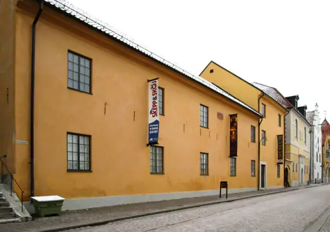
Gotlands Museum (Fornsalen) and the Spillings Viking Silver Hoard
Visby, Sweden
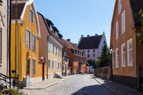
Stora Torget, Strandgatan and Visby's Medieval Lanes
Visby, Sweden
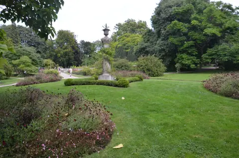
DBW's Botanical Garden and Almedalen: Visby's Green Seafront
Visby, Sweden
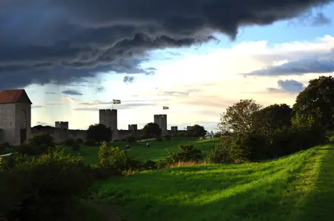
Medieval Week (Medeltidsveckan) and the 1361 Battle of Visby at Korsbetningen
Visby, Sweden
