

Melbourne Orientation: The 1837 Hoddle Grid, Laneways, Trams & Six Core Precincts
Understand how Melbourne is organised around the 1837 Hoddle Grid, the Yarra River, the Free Tram Zone, and six distinct inner-city precincts from Carlton and Fitzroy to Southbank and St Kilda.
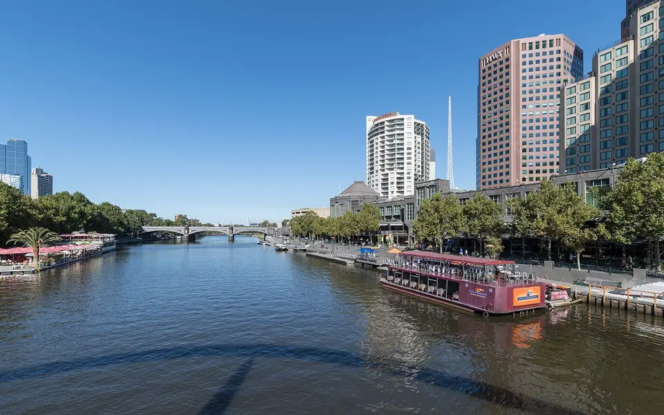
Unlike Sydney, which unfolds around an oceanic harbour from the moment you step outside, Melbourne rewards travellers who look inward. European settlers established the city in 1835 on the traditional country of the Wurundjeri Woi-wurrung and Bunurong Boon Wurrung peoples. Those two groups belong to the Eastern Kulin Nation, which has cared for the Port Phillip region for thousands of years. In 1837, the settlement was named after British Prime Minister William Lamb, 2nd Viscount Melbourne. Victoria's capital sits at the northern head of Port Phillip Bay where the Yarra River winds down from the forested Yarra Ranges. When the Victorian gold rush erupted in 1851, Melbourne grew within two decades into one of the richest cities of the British Empire. That boom left a monumental core of sandstone banks, domed libraries, cast-iron arcades, and botanical parks across the city centre. From 1901 to 1927, Melbourne also served as the temporary seat of the first Australian Parliament.
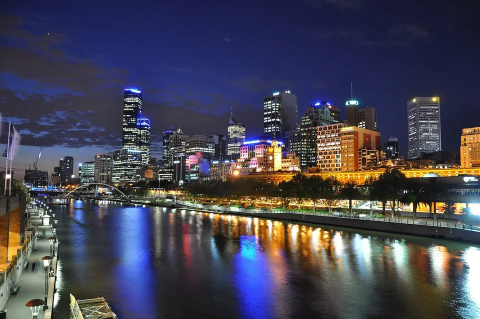
How the 1837 Hoddle Grid and bluestone laneways work
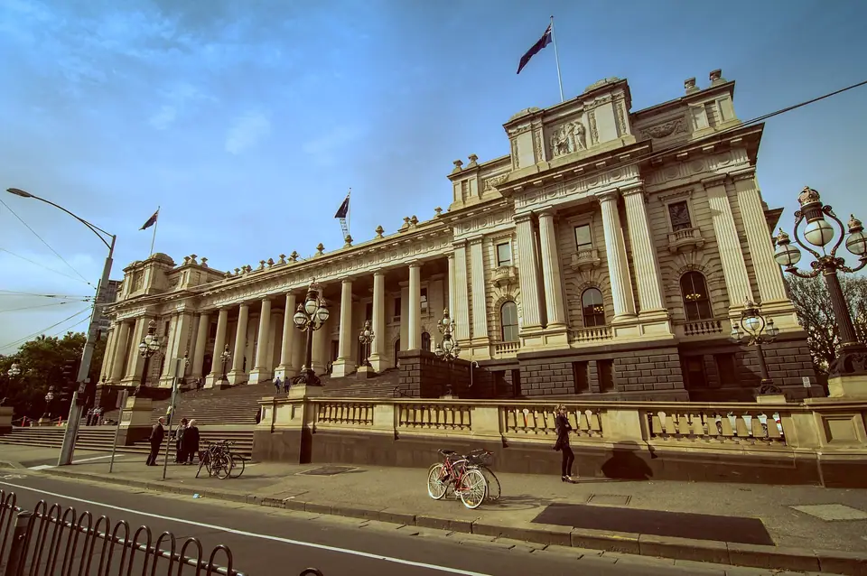
Every walk in central Melbourne begins with the street geometry drawn in 1837 by surveyor Robert Hoddle. The Hoddle Grid measures exactly 1 mile long by 0.5 miles wide (1.6 kilometres by 0.8 kilometres) along the northern bank of the Yarra River. Flinders Street forms its southern riverfront boundary, while Spencer Street marks the western edge and Spring Street runs beside Parliament House to the east. La Trobe Street marks the northern grid line, with the wider central business district extending north to Victoria Street. Hoddle laid out five grand east-west avenues (Flinders, Collins, Bourke, Lonsdale, and La Trobe streets) and nine north-south streets. Each main thoroughfare was surveyed at a generous width of 30 metres (99 feet).
Between each pair of major east-west avenues, Hoddle inserted a narrower 10-metre (33-foot) service street. From south to north, these four streets are Flinders Lane, Little Collins Street, Little Bourke Street, and Little Lonsdale Street. They were originally intended as rear access alleys for horse-drawn deliveries to the grand properties fronting the main avenues. During the nineteenth-century land boom, merchants subdivided those deep blocks and linked them with more than 40 north-south bluestone laneways and covered shopping arcades. Today that secondary network holds the everyday life of the city. You will find tiny espresso windows in Degraves Street and Hosier Lane and mosaic-floored tearooms in the 1892 Block Arcade and 1870 Royal Arcade. Subterranean basement wine bars line Flinders Lane, while red lanterns hang above Little Bourke Street. Here, Melbourne's Chinatown has operated continuously since the 1851 gold rush as the oldest continuous Chinatown in the Western world.
Six urban precincts and how they connect
Sightseeing across greater Melbourne divides cleanly into six connected zones. All six zones are linked by the world's largest urban tram network, which spans 250 kilometres of double track across 24 routes and roughly 1,700 stops:
- The Hoddle Grid (CBD). This walkable commercial core contains Flinders Street Station (completed in 1910), Federation Square (opened in 2002), and the Victorian arcades. It also holds Bourke Street Mall, Chinatown, State Library Victoria (founded in 1854 and opened in 1856), and the 7-hectare Queen Victoria Market (opened in 1878).
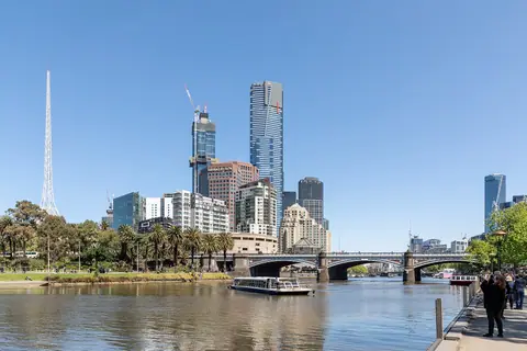
- Southbank, South Wharf, and the Melbourne Arts Precinct. This riverside precinct sits across the 1888 Princes Bridge and pedestrian Evan Walker Bridge on the southern bank of the Yarra River. Here stand the 297-metre Eureka Tower (with Melbourne Skydeck on the 88th floor at 285 metres) and the 162-metre spire of Arts Centre Melbourne. Just south sit the 1968 bluestone NGV International, the 1934 Shrine of Remembrance, and the 38-hectare Royal Botanic Gardens (founded in 1846).
- East Melbourne and the Sports Precinct. This parkland belt stretches east from Federation Square along Birrarung Marr to Melbourne Park, home of the Australian Open Tennis Grand Slam. Beside it rise the 100,024-capacity Melbourne Cricket Ground (MCG, established in 1853) and the 26-hectare Fitzroy Gardens.
- Carlton, Fitzroy, and Collingwood (Inner North). North of Victoria Street, Carlton holds the 26-hectare UNESCO World Heritage Carlton Gardens, the 1880 Royal Exhibition Building, and Melbourne Museum, plus Lygon Street's Italian trattorias. Neighbouring Fitzroy and Collingwood showcase best-preserved Victorian streetscapes, iron-lacework terraces, and independent galleries along Gertrude, Brunswick, and Smith streets.
- South Melbourne, Albert Park, and St Kilda (Bayfront). This bayside strip sits 6 kilometres south on Port Phillip Bay and connects to Bourke Street in 25 minutes by Light Rail Route 96. Highlights include the 1867 South Melbourne Market, St Kilda Pier, the 1912 Luna Park, and the 82 Brighton Bathing Boxes further down the bay.
- Docklands. Located west of Southern Cross Station around Victoria Harbour, this modern waterfront forms the western boundary of the Free Tram Zone.
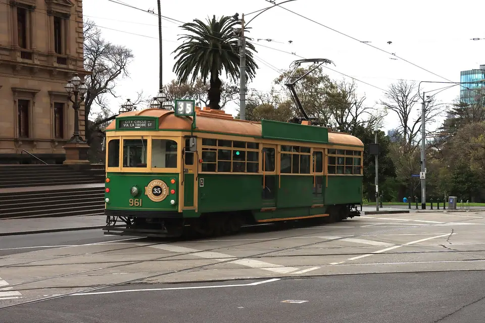
Navigating the Free Tram Zone and myki smartcards
Melbourne's tram system is straightforward once you know the boundary of the Free Tram Zone. Every tram route within the rectangle bounded by Queen Victoria Market, Victoria Street, Spring Street, Flinders Street, and Docklands is free of charge. Inside this zone, you step aboard and step off without needing a ticket or touching a card reader. This free zone includes the heritage Route 35 City Circle Tram, which loops around the CBD in green-and-cream W-class trams.
You need a ticket when your tram trip starts or finishes outside the Free Tram Zone. That rule applies when riding south to NGV International, the Shrine of Remembrance, and St Kilda, or north into Carlton and Fitzroy. Travel with a reusable myki smartcard or Mobile myki inside Google Wallet on Android phones (see our how to get to Melbourne guide). Cash is never accepted on board any Melbourne train, tram, or bus. On trams in Zone 1 and 2, touch your myki card to the reader when boarding; you do not need to touch off when alighting.
Currency, drinking water, sockets, and seasonal planning
Australia uses the Australian Dollar (AUD) in polymer banknotes of 5, 10, 20, 50, and 100 dollars, with 5, 10, 20, and 50 cent silver coins and gold 1 and 2 dollar coins. Contactless Visa, Mastercard, Apple Pay, and Google Pay work at virtually every cafe, market stall, and pub. Tipping is not compulsory in Australia because hospitality staff receive statutory national award wages.
Electrical outlets use the Australian Type I three-pin plug at 230V and 50Hz, the same standard used in Auckland and Queenstown. Tap water comes from closed mountain ash forest catchments in the Yarra Ranges, ranking among the cleanest municipal drinking water supplies in the world. Refill a reusable bottle at the green drinking fountains across the CBD and parks. The national emergency number is 000. Review our best time to visit Melbourne, what to wear in Melbourne, and 3-day Melbourne itinerary guides before your trip.
Traveller tips
Real advice from people who have been to Melbourne. Every tip is read by our team before it goes live.
No tips yet. Been here? Yours could be the first.
Thank you! Your tip will appear here after a quick review.
More in Melbourne
Continue exploring Melbourne with related neighbourhood, food, and planning guides
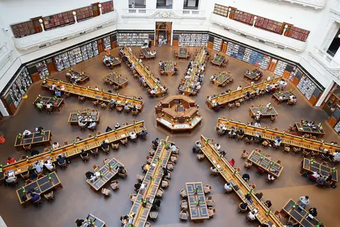
Block Arcade, Royal Arcade, Bourke Street Mall, Chinatown & State Library Walk
Melbourne, Australia
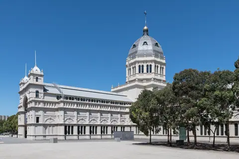
Royal Exhibition Building, UNESCO Carlton Gardens, Melbourne Museum & Lygon Street
Melbourne, Australia
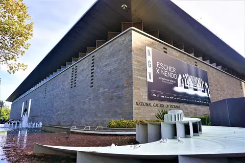
NGV International, Southbank Arts Precinct, Shrine of Remembrance & Botanic Gardens
Melbourne, Australia
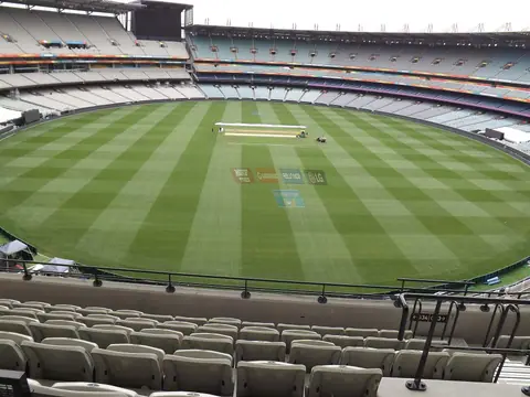
Melbourne Cricket Ground (MCG), Melbourne Park, Fitzroy Gardens & Yarra River Trail
Melbourne, Australia