


























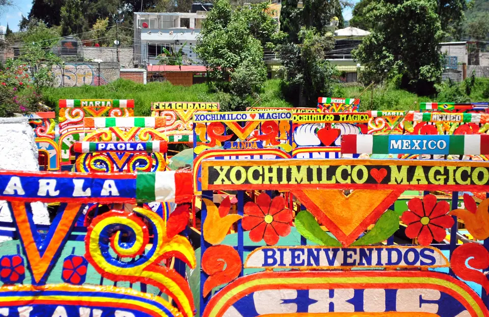
Xochimilco Floating Gardens: Chinampas, Trajineras, Embarcaderos and Canal Fares
How the UNESCO-listed chinampa agricultural islands work, how official hourly trajinera boat rates operate at Nuevo Nativitas and Cuemanco, and how to reach the canals.
Twenty-eight kilometres south of the Zócalo, the borough of Xochimilco (from Nahuatl Xōchimīlco, meaning "in the flower field") preserves the last extensive network of canals and man-made agricultural islands left from the five interconnected lakes (Texcoco, Xochimilco, Chalco, Zumpango, and Xaltocan) that once filled the Valley of Mexico. Inscribed jointly with the Historic Centre of Mexico City as a UNESCO World Heritage Site in 1987, the 180-kilometre canal labyrinth serves simultaneously as a productive wetland farm zone, the sole wild habitat of the critically endangered Mexican axolotl salamander (Ambystoma mexicanum), and a festive weekend waterway.
What Are the Chinampas?
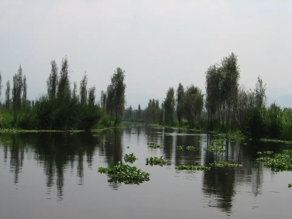
Although English-language guides often call Xochimilco the "Floating Gardens", the chinampas do not actually float. Developed by pre-Hispanic Nahua and Xochimilca farmers more than a thousand years ago to cultivate shallow lake bottoms, each rectangular artificial island was constructed by staking woven wattle enclosures into the lakebed, layering aquatic vegetation, mud, and nutrient-rich canal silt inside until the soil rose above the water level, and planting native willow trees (ahuejotes, Salix bonplandiana) along the perimeter so their deep vertical roots anchored the banks against erosion. Framed by narrow irrigation canals that supply sub-surface moisture year-round, chinampas remain among the most productive agricultural plots in Mesoamerica, still growing vegetables, herbs, and winter poinsettias and autumn cempasúchil marigolds for the capital.
How Trajinera Boats and Official Hourly Fares Work
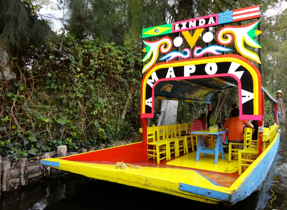
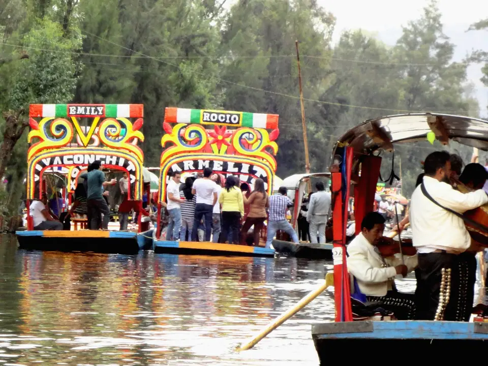
Visitors explore the canals aboard trajineras, flat-bottomed wooden boats roofed with arched sheet-metal canopies, painted in vivid yellows, blues, pinks, and greens with floral arches bearing women's names on the prow, and propelled by a single boatman (remero) using a five-metre wooden pole against the shallow canal bed. To avoid overpaying or falling for road touts who intercept taxis before the official docks, understand three simple rules before you arrive:
- Fixed Per-Boat Hourly Rate: The borough of Xochimilco sets an official uniform government tariff posted on large signboards at every municipal embarcadero (dock). You pay per boat per hour (never per person), regardless of whether two people or up to eighteen passengers board the trajinera; check the official posted tariff board at the dock cashier booth on arrival and bring cash in Mexican pesos.
- Festive vs Ecological Docks: If you want the lively traditional canal atmosphere where smaller canoes pull alongside your trajinera selling freshly grilled corn (elotes), quesadillas, micheladas, and per-song performances by floating mariachi, marimba, and norteño bands, head to Embarcadero Nuevo Nativitas, Embarcadero Fernando Celada, or Embarcadero Caltongo.
- Quiet Ecological Chinampa Routes: If you prefer birdlife (herons, egrets, and winter pelicans), silent willow-lined agricultural channels, axolotl conservation sanctuaries (ajolotarios), and fewer party boats, embark instead from Embarcadero Cuemanco (adjacent to the Parque Ecológico de Xochimilco and the Cuemanco plant market along Periférico Sur) or Embarcadero Puente de Urrutia.
How to Get to Xochimilco and When to Go
Reaching Xochimilco on public transport is straightforward with your Tarjeta de Movilidad Integrada from the Mexico City transport guide: ride Metro Line 2 (Blue) south to its terminus at Tasqueña, follow the station walkway directly onto the Tren Ligero (Xochimilco Light Rail), and ride thirty-five minutes across all eighteen stops to the terminal at Xochimilco station, from which you can walk fifteen minutes or take a brief local taxi to Embarcadero Nuevo Nativitas or Fernando Celada. Many travellers combine a morning in Coyoacán and the Frida Kahlo Museum with two or three afternoon hours on the canals; weekdays and Saturday mornings are peaceful, whereas Sunday afternoons bring joyful local family flotillas that pack the main Nativitas channels bow-to-stern.
Traveller tips
Real advice from people who have been to Xochimilco Floating Gardens: Chinampas, Trajineras, Embarcaderos and Canal Fares. Every tip is read by our team before it goes live.
No tips yet. Been here? Yours could be the first.
Thank you! Your tip will appear here after a quick review.
More in Mexico City
Continue exploring Mexico City with related neighbourhood, food, and planning guides
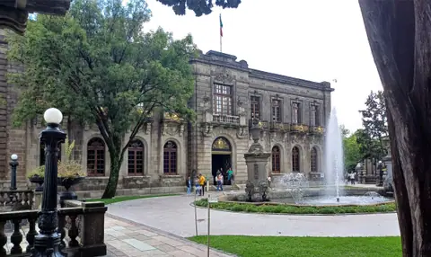
Chapultepec Park, Chapultepec Castle and the National Museum of Anthropology
Mexico City, Mexico
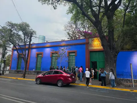
Coyoacán, Frida Kahlo Museum (La Casa Azul) and San Ángel Guide
Mexico City, Mexico
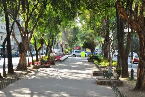
Roma Norte and Condesa Guide: Art Deco Parks, Porfirian Plazas and Café Streets
Mexico City, Mexico
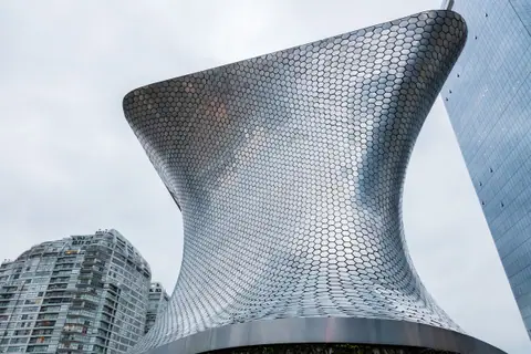
Polanco, Museo Soumaya and Museo Jumex Guide: Architecture, Galleries and Parks
Mexico City, Mexico
