Ciudad Mitad del Mundo, the Equator and Pululahua Volcanic Crater
Stand on the Equator 26 km north of Quito at Ciudad Mitad del Mundo and the Intinan Museum, then peer into the inhabited volcanic caldera of Pululahua Geobotanical Reserve.
Ecuador takes its very name from the equatorial line that bisects its northern highlands just 26 kilometres north of central Quito in the dry valley of San Antonio de Pichincha. In 1736, the French Academy of Sciences and the Spanish Crown dispatched the Franco-Spanish Geodesic Mission, led by French scientists Charles Marie de La Condamine, Pierre Bouguer, and Louis Godin alongside Spanish naval officers Jorge Juan and Antonio de Ulloa and Ecuadorian geographer Pedro Vicente Maldonado, to measure an arc of the meridian at the Equator and prove that the Earth bulges at the Equator and flattens at the poles. You can easily combine this northern excursion with our 3-day Quito itinerary or continue further north toward Otavalo.
Ciudad Mitad del Mundo and the Intinan Solar Museum
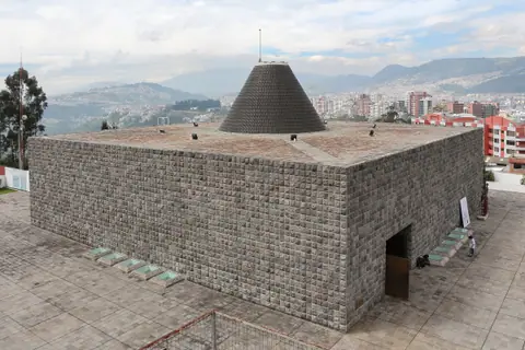
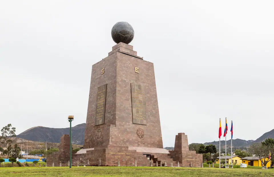
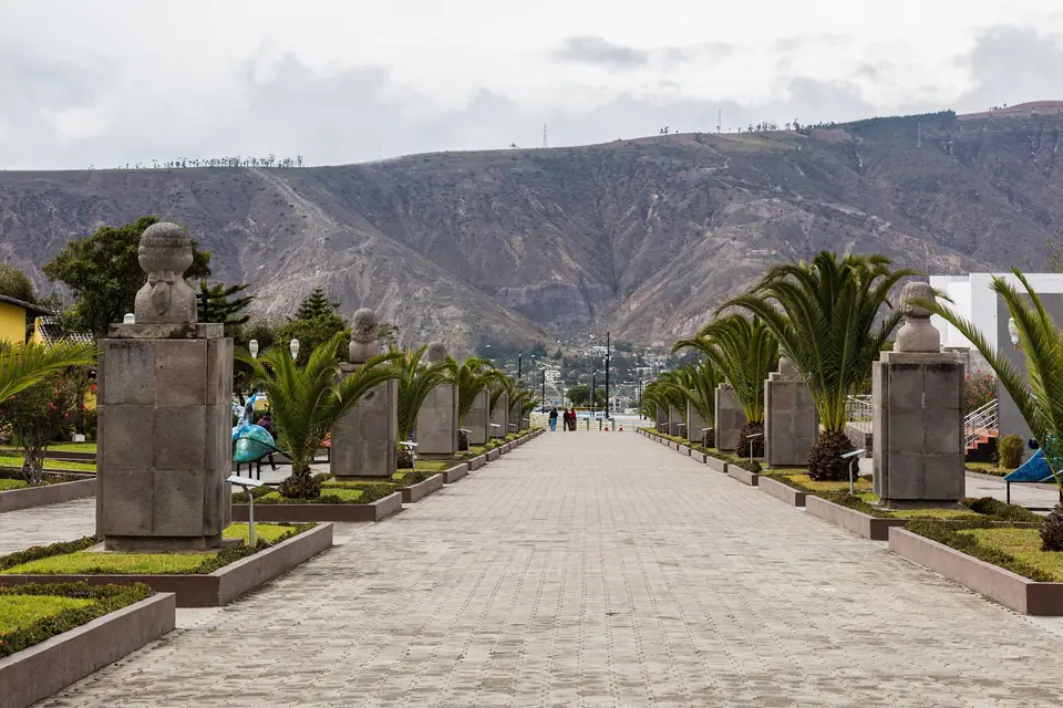
Constructed between 1979 and 1982 by the Pichincha Provincial Council under architect Alfredo Fabian Paez to replace an earlier 1936 monument (which was moved to nearby Calacali), the centerpiece of Ciudad Mitad del Mundo is a 30-metre-tall trapezoidal tower built of polished andesite stone and iron, crowned by a 4.5-metre-diameter, five-tonne brass globe. Inside the monument, a nine-level ethnological museum traces the indigenous cultures of Ecuador's coast, highlands, and Amazon basin, while an elevator climbs to a rooftop viewing platform directly beneath the globe along the painted East-West line. Two hundred metres north of the main complex stands the open-air Museo Solar Intinan, set near the GPS-calculated 0°0'0" latitude line, featuring reconstructed indigenous highland dwellings, totems, and interactive demonstrations.
Pululahua Geobotanical Reserve (Reserva Geobotanica Pululahua)
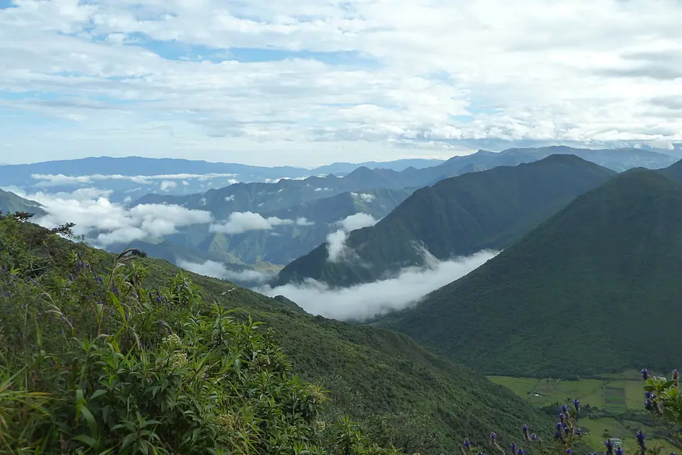
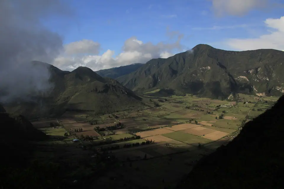
- One of Earth's few inhabited volcanic calderas: Just five kilometres north of Ciudad Mitad del Mundo, Reserva Geobotanica Pululahua (established in 1966 as Ecuador's first mainland national park before becoming a geobotanical reserve in 1978) protects a four-kilometre-wide volcanic caldera formed roughly 2,500 years ago when the Pululahua volcano collapsed after major eruptions.
- Mirador de Ventanillas (2,860 metres): From the paved rim viewpoint at Ventanillas, you look straight down 350 metres onto the flat, fertile crater floor (around 2,500 metres elevation), where farming families cultivate corn, beans, and potatoes around the central lava domes of Pondoña, El Chivo, and Pan de Azucar.
- Cloud-forest microclimate: Warm moist air rising up the western Guayllabamba gorge condenses inside the crater every afternoon (Pululahua means "Cloud of Water" in Kichwa), supporting more than 600 plant species and dozens of wild Andean orchids. Visit Mirador de Ventanillas before noon for clear views before the afternoon mist fills the bowl.
Traveller tips
Real advice from people who have been to Ciudad Mitad del Mundo, the Equator and Pululahua Volcanic Crater. Every tip is read by our team before it goes live.
No tips yet. Been here? Yours could be the first.
Thank you! Your tip will appear here after a quick review.
More in Quito
Continue exploring Quito with related neighbourhood, food, and planning guides