


























TeleferiQo, Cruz Loma (3,945 m) and Hiking Rucu Pichincha
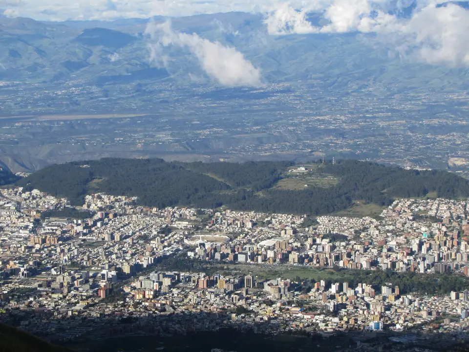
Ride the TeleferiQo gondola from 3,117 m to Cruz Loma at 3,945 m on the flank of Pichincha Volcano for panoramas of the Avenue of the Volcanoes and the trail to Rucu Pichincha.
Opened in July 2005 above Avenida Occidental on the western edge of central Quito, the TeleferiQo Cruz Loma is one of the highest aerial gondola lifts in the world. Over a horizontal distance of 2,237 metres, the cabins climb more than 800 vertical metres in roughly 18 to 20 minutes from the lower boarding station at 3,117 metres (10,226 feet) to the upper station on the Cruz Loma ridge at 3,945 metres (12,943 feet) on the eastern flank of Pichincha Volcano. Because clouds frequently build along the mountain ridge by early afternoon, pair this excursion with the weather advice in our best time to visit Quito guide and schedule it after at least one full day of acclimatisation in the Historic Centre.
Viewpoints Along the Cruz Loma Paramo Ridge
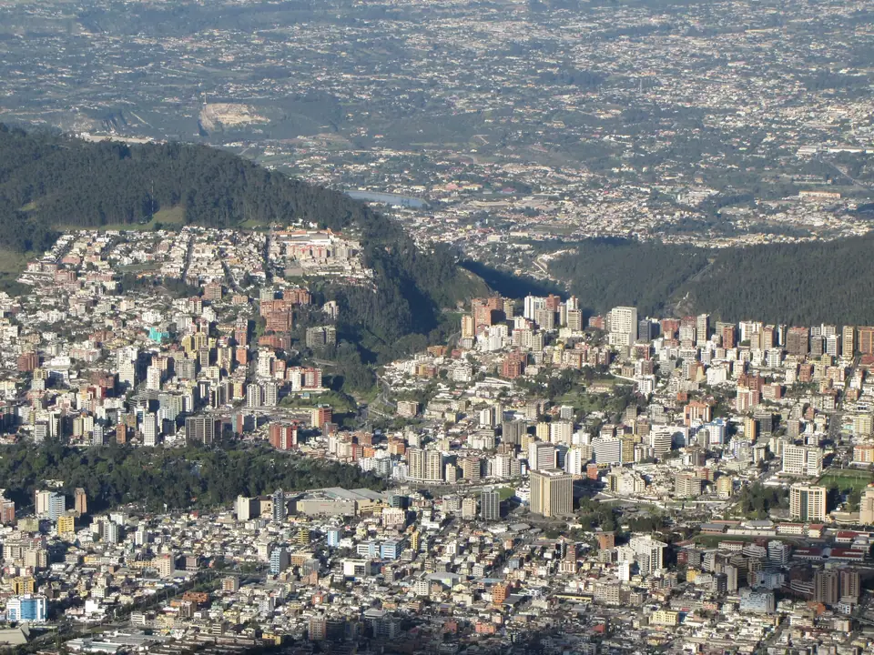
Stepping out of the upper gondola station at 3,945 metres places you directly into the Andean paramo ecosystem, a treeless high-altitude grassland carpeted in golden ichu bunchgrass, cushion plants, and bright orange chuquiragua ("the flower of the Andes", favoured by high-altitude Ecuadorian hillstar hummingbirds). Paved and dirt footpaths lead along the ridge past the modern Chapel of the Virgen del Camino and high swings perched above the valley drop. On crisp mornings, especially during the June to September dry season, the eastern horizon reveals a dramatic line of glaciated stratovolcanoes known since Alexander von Humboldt's 1802 expedition as the Avenue of the Volcanoes: Cayambe (5,790 metres) to the northeast, Antisana (5,753 metres) to the southeast, Sincholagua (4,873 metres), and the symmetrical snow cone of Cotopaxi (5,897 metres) to the south.
Hiking to the Summit of Rucu Pichincha (4,698 Metres)
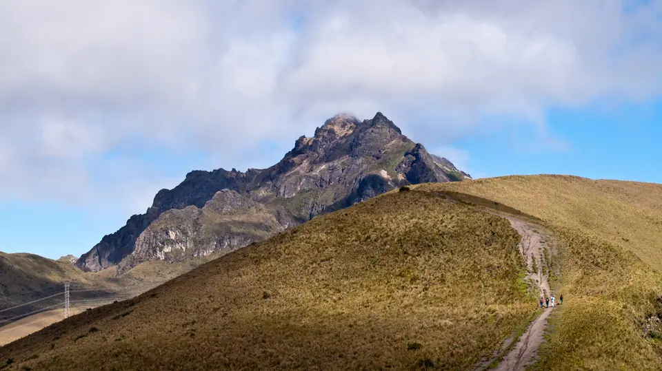
- The two peaks of Pichincha: The Pichincha massif comprises two primary summits: older, extinct Rucu Pichincha ("Old Pichincha" in Kichwa) at 4,698 metres (15,413 feet) nearest the city, and active Guagua Pichincha ("Young/Child Pichincha") further west at 4,784 metres (15,696 feet), whose 1999 phreatic eruptiondusted Quito in volcanic ash.
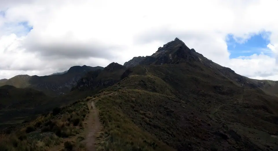
- Route and distance from Cruz Loma: From the TeleferiQo upper station at 3,945 metres, a well-marked trail ascends roughly 4.5 kilometres each way (9 to 10 kilometres round trip, gaining 753 vertical metres) across rolling paramo ridges before reaching the steep volcanic sand chute (el arenal) and a short class-2 rocky scramble to the 4,698-metre summit cross of Rucu Pichincha.
- Safety and preparation: Allow four to five hours for the round-trip hike and start before 09:00 so you are back off the summit ridge before afternoon fog and lightning arrive. Bring a windproof shell, fleece, gloves, sun hat, water, and trail shoes with grip.
Traveller tips
Real advice from people who have been to TeleferiQo, Cruz Loma (3,945 m) and Hiking Rucu Pichincha. Every tip is read by our team before it goes live.
No tips yet. Been here? Yours could be the first.
Thank you! Your tip will appear here after a quick review.
More in Quito
Continue exploring Quito with related neighbourhood, food, and planning guides
Capilla del Hombre, Guayasamin Museum, MuNa and La Floresta
Quito, Ecuador
Cotopaxi National Park and Otavalo Market Day Trips from Quito
Quito, Ecuador

Quito: Essential Planning for Ecuador's Andean Capital
Quito, Ecuador

Things to Do in Quito: Baroque Gold Churches, Volcanoes and the Equator
Quito, Ecuador
