


























How to Get to Quito: Mariscal Sucre Airport (UIO), Metro and Bus Terminals
Arriving at Mariscal Sucre International Airport (UIO) in Tababela, transferring via Ruta Viva, and using Quito Metro Line 1 and the Quitumbe and Carcelen bus terminals.
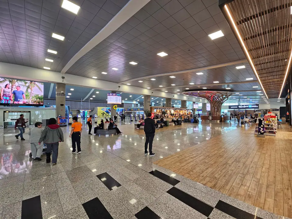
In February 2013, Quito relocated its commercial aviation operations from the old urban airfield in northern Quito (now Parque Bicentenario) to Mariscal Sucre International Airport (IATA: UIO, ICAO: SEQM) on the Oyambaro plain in Tababela parish, roughly 18 kilometres east of the city in a straight line and 35 to 40 kilometres by road. Because Tababela sits in the Tumbaco valley at approximately 2,400 metres elevation, roughly 450 metres lower than central Quito, the wide plain enjoys gentler winds and clearer approaches before travellers ascend the highway into the capital. Check our Quito travel guide and where to stay guide to coordinate your arrival transfer.
Transfers from Mariscal Sucre International Airport (UIO) to Quito
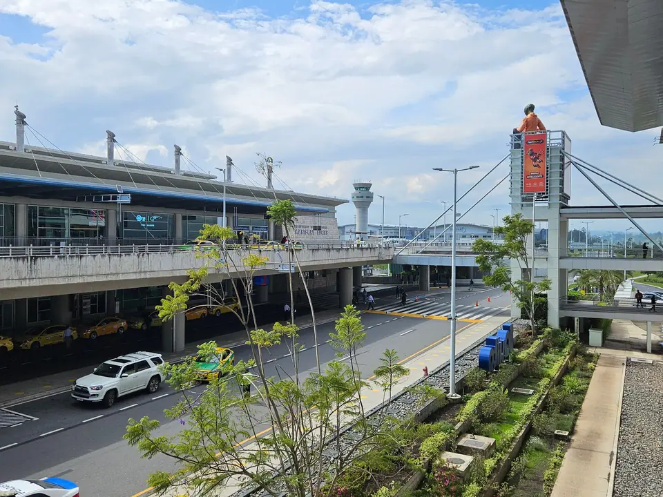
How long does the road transfer take from UIO into central Quito? Authorised airport taxis and pre-booked hotel transfers climb from the Tumbaco valley along either the southern Ruta Viva expressway (convenient for La Floresta, La Mariscal, and Parque La Carolina) or the northern Via Interoceanica, taking 45 to 60 minutes depending on valley traffic. Official airport taxis operate from a staffed dispatch booth outside arrivals.
Are there public airport buses? Executive Aeroservicios coaches connect the airport terminal with the old airport site near El Labrador Metro station in northern Quito, while municipal feeder buses link UIO with the Rio Coca Ecovia terminal and the Quitumbe southern bus terminal. For schedules and current fares, check the official airport website before departure.
Quito Metro Line 1 and Surface BRT Corridors
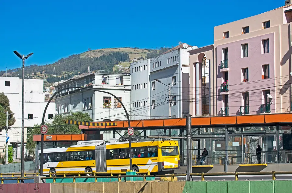
Once inside the city, the 22-kilometre underground Quito Metro Line 1 provides the fastest north-south spine, completing the entire run between Quitumbe and El Labrador in roughly 34 minutes with stops at San Francisco, La Alameda, El Ejido, Universidad Central, Inaquito, and La Carolina. Above ground, three electric and articulated bus rapid transit corridors (el Trolebus, la Ecovia, and the Corredor Central Norte) serve intermediate avenues.
Quitumbe and Carcelen Interprovincial Bus Terminals
Long-distance coaches for Cotopaxi National Park, Banos, Cuenca, and Guayaquil depart from Terminal Terrestre Quitumbe at the southern end of Metro Line 1, whereas buses heading north to Otavalo, Ibarra, Mindo, and the Colombian border depart from Terminal Terrestre Carcelen.
Traveller tips
Real advice from people who have been to How to Get to Quito: Mariscal Sucre Airport (UIO), Metro and Bus Terminals. Every tip is read by our team before it goes live.
No tips yet. Been here? Yours could be the first.
Thank you! Your tip will appear here after a quick review.
More in Quito
Continue exploring Quito with related neighbourhood, food, and planning guides
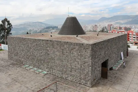
Capilla del Hombre, Guayasamin Museum, MuNa and La Floresta
Quito, Ecuador
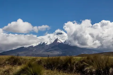
Cotopaxi National Park and Otavalo Market Day Trips from Quito
Quito, Ecuador
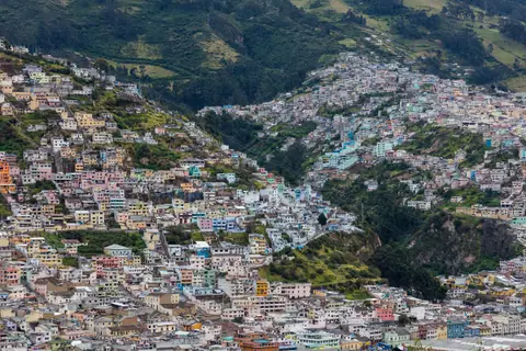
Quito: Essential Planning for Ecuador's Andean Capital
Quito, Ecuador
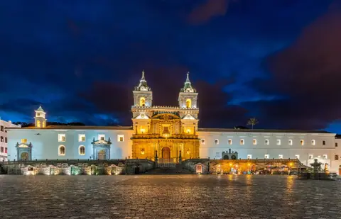
Things to Do in Quito: Baroque Gold Churches, Volcanoes and the Equator
Quito, Ecuador
