Quito: Essential Planning for Ecuador's Andean Capital
Everything you need to plan a trip to Quito at 2,850 metres, from navigating the narrow 50-kilometre valley on the Quito Metro to acclimatising and using US dollars.
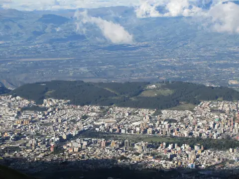
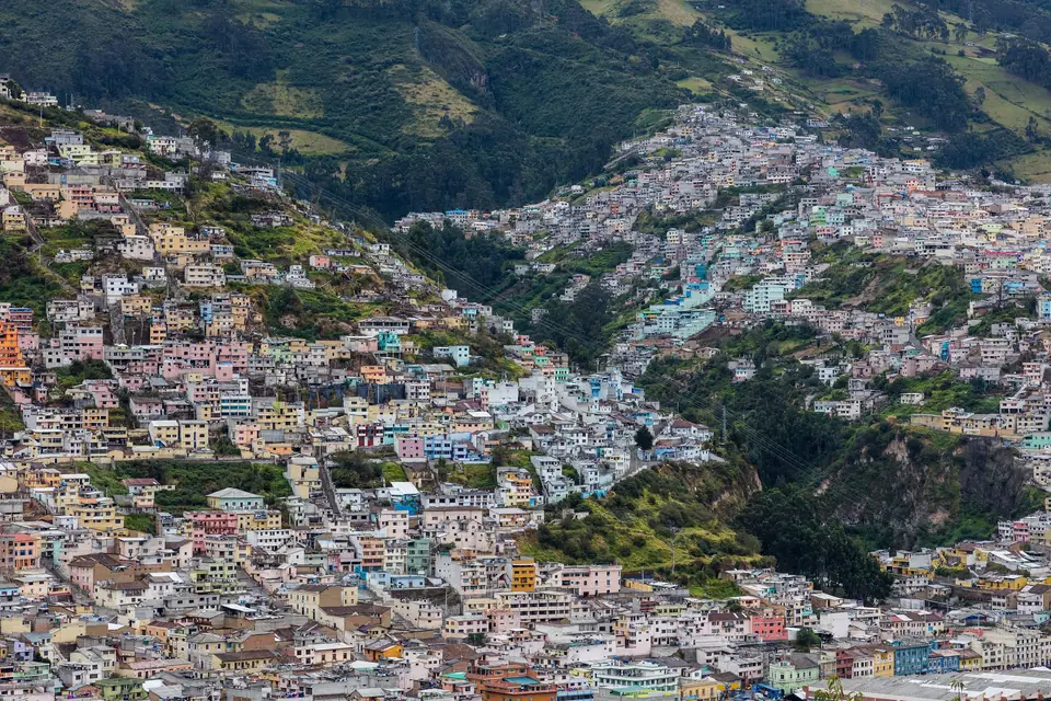
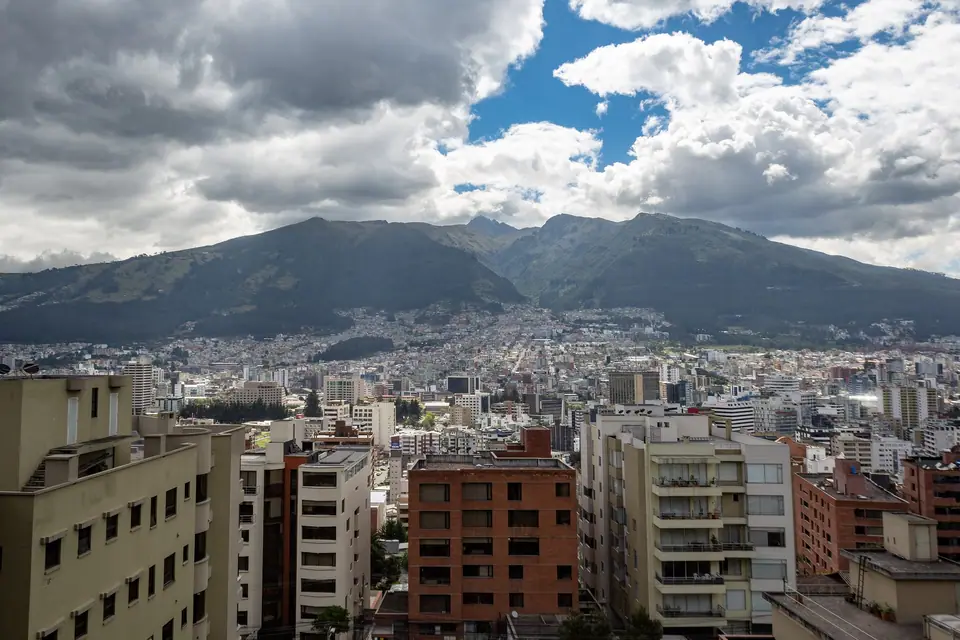
Founded as San Francisco de Quito on 6 December 1534 by Sebastian de Benalcazar atop an Inca settlement built over an earlier Quitu-Cara trading centre, Ecuador's capital sits at an official elevation of 2,850 metres (9,350 feet) just 25 kilometres south of the Equator. Because the city is hemmed into the narrow Guayllabamba river basin between the eastern slopes of active stratovolcano Pichincha and the Inter-Andean valley, its urban footprint measures only four to eight kilometres wide while stretching roughly 50 kilometres from south to north. In September 1978, Quito became one of the very first sites inscribed on the UNESCO World Cultural Heritage list, protecting 320 hectares of monasteries, convents, and plazas in its Historic Centre. You can pair this overview with our guide to the top things to do in Quito and our neighbourhood accommodation breakdown.
Understanding Quito's North-South Valley Geography
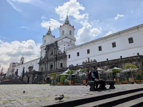
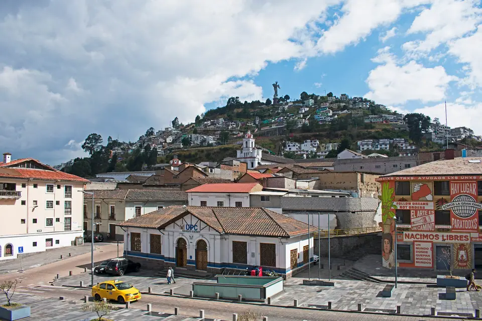
Quito unfolds in distinct districts running northward from the colonial core. At the southern edge of the central tourist corridor, volcanic El Panecillo hill overlooks the dense grid of the Centro Historico, anchored by Plaza Grande, Plaza San Francisco, and Plaza Santo Domingo. North of Parque La Alameda and Parque El Ejido, the valley widens into the mid-century commercial district of La Mariscal, the residential 1917 Garden City neighbourhood of La Floresta, and the modern financial hub around the 64-hectare Parque La Carolina and Inaquito.
Acclimatisation, Currency and Everyday Logistics
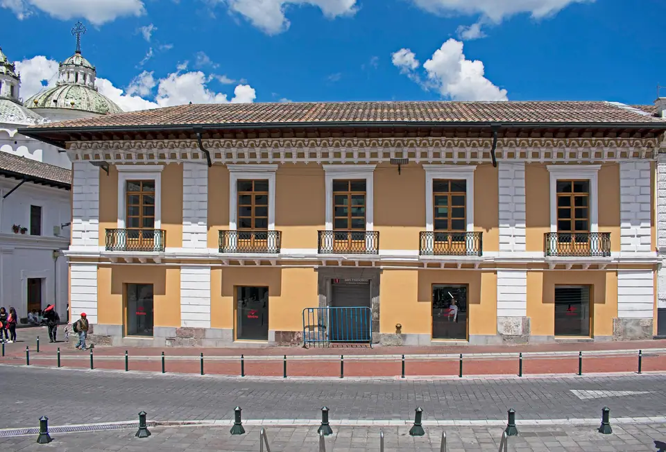
- Managing the 2,850-metre elevation: Air pressure in the Centro Historico is roughly 30 percent lower than at sea level. Spend your first 24 hours strolling the colonial plazas, drinking plenty of water, and eating light meals before ascending the TeleferiQo gondola to Cruz Loma at 3,945 metres or hiking in Cotopaxi National Park.
- United States dollars and small change: Ecuador adopted the US dollar as its official currency in 2000 and mints its own Ecuadorian centavo coins (1, 5, 10, 25, and 50 centavos) that circulate at par alongside US coins. Small shops, bakeries, and taxis rarely accept 50-dollar or 100-dollar banknotes, so withdraw or carry 5-dollar, 10-dollar, and 20-dollar bills.
- Underground Metro and urban safety: The 22-kilometre underground Quito Metro Line 1 connects 15 stations from Quitumbe in the south to El Labrador in the north, linking San Francisco in the Old Town directly with La Alameda, El Ejido, Inaquito, and La Carolina. Keep cameras and phones secure in crowded markets, and use registered yellow taxis with orange municipal licence plates or ride-hailing apps when travelling at night.
Traveller tips
Real advice from people who have been to Quito: Essential Planning for Ecuador's Andean Capital. Every tip is read by our team before it goes live.
No tips yet. Been here? Yours could be the first.
Thank you! Your tip will appear here after a quick review.
More in Quito
Continue exploring Quito with related neighbourhood, food, and planning guides