
Salzburg Orientation: Salzach River Divide, Left Bank Altstadt, Right Bank Neustadt & Salzburg Card
Understand how Salzburg is organised across the Salzach River between the Left Bank Altstadt beneath Mönchsberg and the Right Bank Neustadt beneath Kapuzinerberg, plus how to use the Salzburg Card.
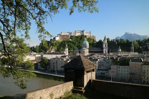
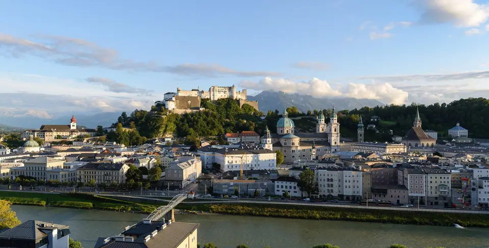
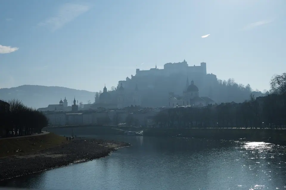
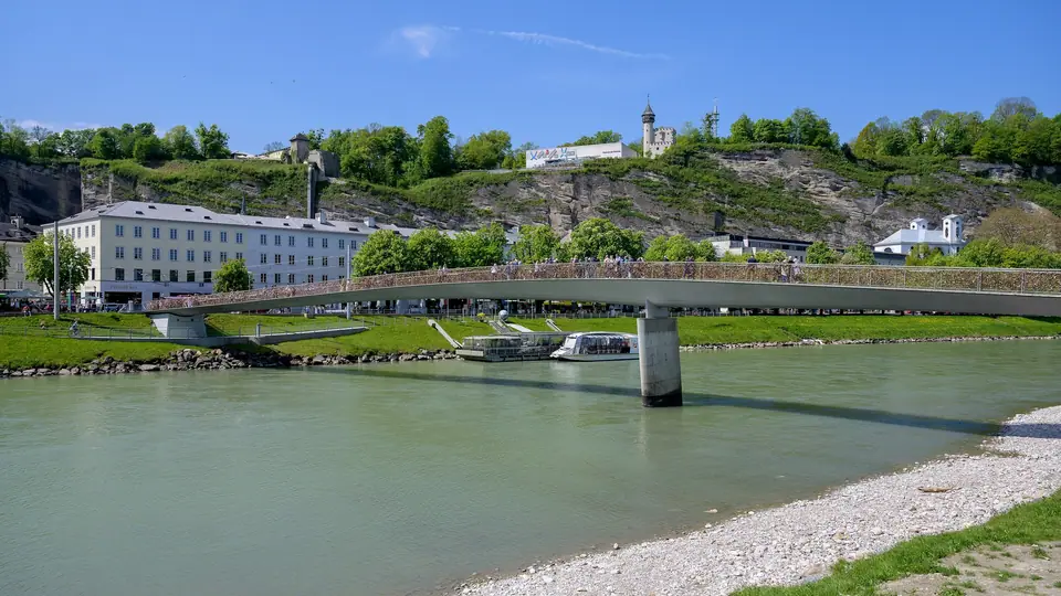
Step onto the pedestrian deck of the Marko-Feingold-Steg footbridge at sunset and Salzburg's geography makes immediate visual sense. Unlike sprawling imperial capitals such as Vienna or Munich, Austria's fourth-largest city counts roughly 157,000 residents. The urban core sits in a natural Alpine basin at 424 metres elevation. Here the emerald glacial waters of the Salzach River flow north out of the Northern Limestone Alps. Steep wooded cliffs of ice-age conglomerate rock (Nagelfluh) hem in both riverbanks. Because those vertical rock walls blocked outward expansion for centuries, builders squeezed palaces and churches into a compact valley floor. Almost everything inside the 236-hectare UNESCO World Heritage Historic Centre (inscribed in 1996) lies within a twenty-minute walk.
How the Salzach River and Prince-Archbishops shaped five walkable zones
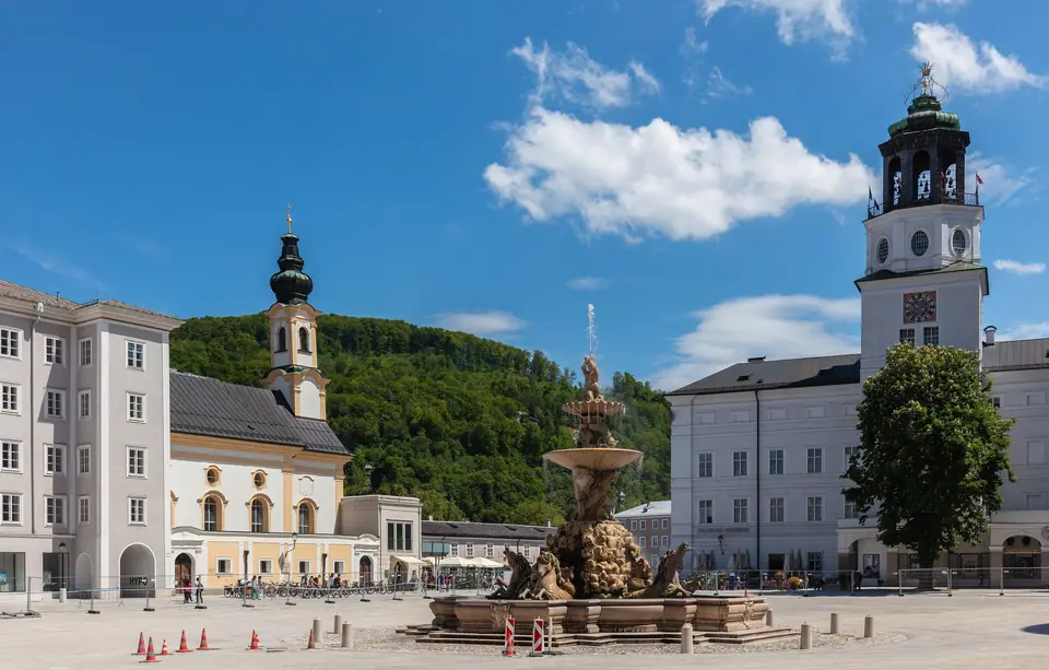
Topography and ecclesiastical power created the city map you walk today. From 798 until 1803, Prince-Archbishops ruled Salzburg as an independent state of the Holy Roman Empire. Alpine salt mining in the Dürrnberg mountains funded their court for centuries. After a major cathedral fire in 1598, Prince-Archbishop Wolf Dietrich von Raitenau demolished 55 medieval burgher houses on the cramped Left Bank. Working with Italian architect Vincenzo Scamozzi, he carved out monumental Baroque plazas right against the cliff face. Those squares include Residenzplatz, Domplatz, and Kapitelplatz. Meanwhile, the Right Bank expanded around his 1606 pleasure palace of Mirabell. Today sightseeing divides into five connected zones:
- The Left Bank Altstadt (Linkes Salzachufer): This narrow 300-to-500-metre strip sits between the river and the sheer cliff of the Mönchsberg (pronounced MUHNKS-bairk, "Monks' Mountain", 508 metres). For centuries it served as the Prince-Archbishops' sacred citadel. Its eastern half holds four interlocking marble squares. Above them runs the elevated DomQuartier museum circuit, Salzburg Cathedral, and 696 CE St. Peter's Abbey. Its western half follows the medieval merchant spine of Getreidegasse (geh-TRY-deh-gah-seh, "Grain Lane") past Mozart's 1756 Birthplace. At the western end stand the rock-hewn opera halls of the Festival District.
- Festungsberg (542 m) & Mönchsberg Ridge: Rising 120 metres straight above Kapitelplatz is the dolomite crag of the Festungsberg. Since 1077, its summit has carried Hohensalzburg Fortress (HOH-en-zalts-boork), while Benedictine Nonnberg Abbey (founded circa 714) crowns its eastern spur. The wooded Mönchsberg plateau extends two kilometres northwest past the Museum der Moderne. At its northern foot sits the Augustiner Bräu monastery brewery in Mülln.
- The Right Bank Neustadt (Rechtes Salzachufer) & Kapuzinerberg (636 m): Across the Staatsbrücke and Marko-Feingold-Steg footbridge rises the forested dolomite hill of the Kapuzinerberg. A 1599 Capuchin Monastery crowns the upper bastion. Below sit the 1606 Mirabell Palace and Baroque Gardens, Mozart's Residence on Makartplatz, and the Mozarteum. South of the hill runs pedestrian Linzer Gasse and Saint Sebastian's Cemetery.
- Salzburg Hauptbahnhof & Elisabeth-Vorstadt (North): The main railway station stands 1.5 kilometres north of the Staatsbrücke along Rainerstrasse. It links high-speed trains to Vienna and Munich with regional Postbus coaches to the Salzkammergut lakes.
- Nonntal, Leopoldskron, Hellbrunn & Untersberg (South): South of the Festungsberg cliff runs the car-free 1615 linden avenue of Hellbrunner Allee. It leads past Schloss Leopoldskron to the 1615 Hellbrunn Palace and Trick Fountains. Ten minutes further south in Grödig rises the 1,776-metre Untersberg Cable Car.
Decoding Austrian German & local Salzburg terms on signs
- Altstadt vs. Neustadt: Altstadt refers to the medieval and Baroque Left Bank core plus historic Steingasse and Linzer Gasse. By contrast, Neustadt (Andräviertel) denotes the nineteenth-century grid around Mirabellplatz and Franz-Josef-Strasse.
- Festungsbahn vs. MönchsbergAufzug: The 1892 Festungsbahn is the steep funicular climbing from Festungsgasse 4 directly into Hohensalzburg Fortress. The MönchsbergAufzug is the vertical lift inside the cliff at Gstättengasse 13 ascending 60 metres to the Museum der Moderne terrace.
- Salzburg Hbf vs. Salzburg Mülln-Altstadt: Salzburg Hauptbahnhof (Hbf) is the main intercity rail hub on the Right Bank. Meanwhile, Salzburg Mülln-Altstadt is a suburban S-Bahn halt on the Left Bank just five minutes' walk from Augustiner Bräu.
- Ruhetag, Jause, Bosna & Bräustübl: Ruhetag means a restaurant's weekly closing day, usually Monday or Sunday. Jause is an afternoon cold platter of alpine cheese and cured speck. Bosna is Salzburg's spiced double Bratwurst roll invented in 1949, while Bräustübl (BROY-shtoo-bul) means a traditional monastery beer tavern.
How the Salzburg Card works: museums, lifts & city transit
Available for 24, 48, or 72 hours as a smartphone wallet pass or physical card, the official Salzburg Card combines two core benefits. First, it grants one-time free admission to almost all city museums and mountain lifts. That list includes the Festungsbahn funicular and Hohensalzburg Fortress, the DomQuartier, and Mozart's Birthplace and Residence. It also covers the Hellbrunn Palace and Trick Fountains, the MönchsbergAufzug lift, and the Untersberg Cable Car. You can even visit Stiegl-Brauwelt, Haus der Natur, Salzburg Zoo, and the Salzach River Boat.
Second, the pass includes unlimited public transport within the city boundary. You can ride all urban Obus trolleybus lines 1 to 14, Albus city routes, and Bus 25 to Hellbrunn and the Untersberg Cable Car. Note that regional Postbus and S-Bahn day trips to Hallstatt or Berchtesgaden are excluded from the Salzburg Card. However, overnight hotel guests receive the separate province-wide Guest Mobility Ticket at check-in.
Currency, Untersberg drinking water, sockets & Sunday closures
Austria uses the Euro (EUR) and standard Type F (230V, 50Hz) sockets. Keep 20 to 30 euros in cash for traditional coffeehouses like Café Tomaselli, Grünmarkt stalls, and the self-service food stands inside Augustiner Bräu. Tap water is pure karst spring water piped from the Untersberg. You can refill reusable bottles free at any marble public fountain across the centre. When planning your 3-day Salzburg itinerary and choosing where to stay in Salzburg, remember Sunday hours. Retail shops close on Sundays, whereas major museums, Hellbrunn Palace, and Hohensalzburg Fortress stay open daily.
Traveller tips
Real advice from people who have been to Salzburg. Every tip is read by our team before it goes live.
No tips yet. Been here? Yours could be the first.
Thank you! Your tip will appear here after a quick review.
More in Salzburg
Continue exploring Salzburg with related neighbourhood, food, and planning guides
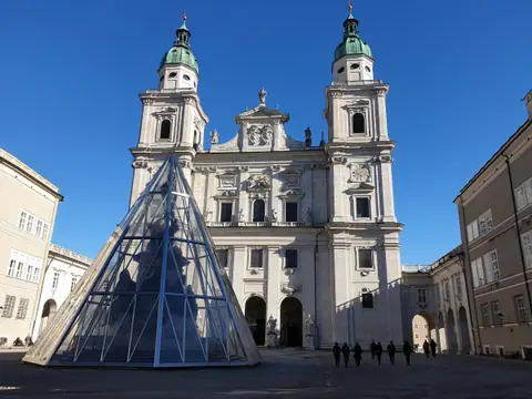
Salzburg Cathedral, DomQuartier State Rooms, St. Peter's Abbey, Catacombs & Kapitelplatz Guide
Salzburg, Austria
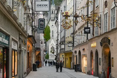
Getreidegasse Guild Signs, Mozart's Birthplace, Mozart Residence & Grosses Festspielhaus Walk
Salzburg, Austria
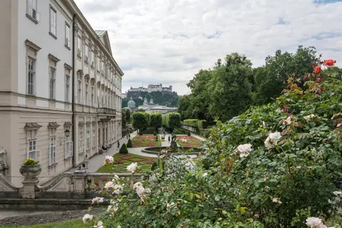
Mirabell Palace & Marble Hall, Pegasus Fountain, Linzer Gasse & Kapuzinerberg Bastion Walk
Salzburg, Austria
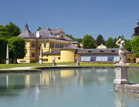
Hellbrunn Palace & 1615 Trick Fountains, Schloss Leopoldskron & Untersberg Cable Car Guide
Salzburg, Austria