
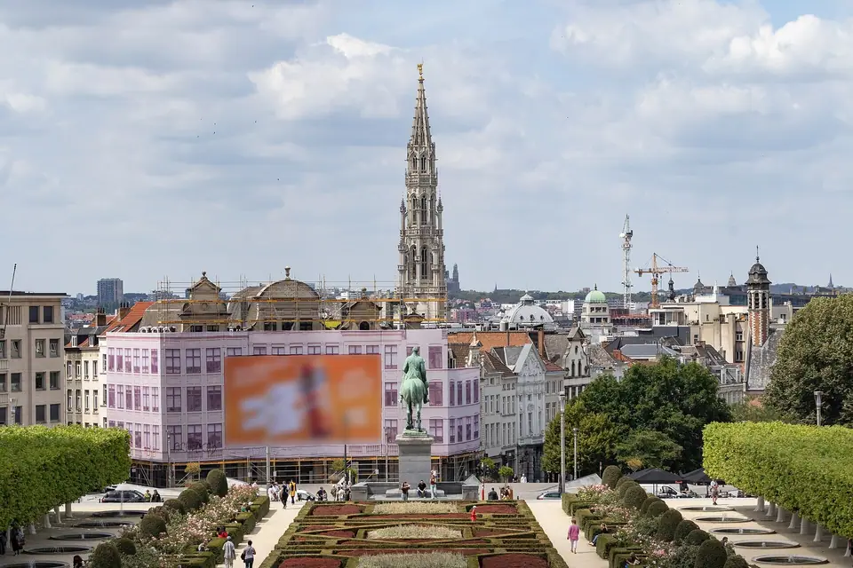
Brussels Orientation: The Pentagon, Lower vs Upper Town, 19 Communes & Bilingual Street Signs
Understand how Brussels is organised across the five-sided Pentagon, the mercantile Lower Town, the royal Upper Town, the European Quarter, and the 19 bilingual municipalities.
Visitors leaving Brussels-Central Station soon see that Belgium's capital differs from Paris or Amsterdam. Brussels is shaped by a hidden river valley and a forty-metre ridge dividing its historic core. Below lies a mercantile, Dutch-inflected Lower Town built on drained medieval marshland. Above stretches a French-speaking neoclassical Upper Town along the eastern hillcrest. Understanding that elevation shift and the five-sided inner ring makes navigation effortless. Reading the dual French and Dutch street plaques also helps you orient yourself from your opening morning.
How the Pentagon, Lower Town, and Upper Town fit together
At the centre of the map sits the Pentagon (Le Pentagone in French, Vijfhoek in Dutch). This five-sided polygon measures roughly 4.5 kilometres across. Its outline follows the nineteenth-century Petite Ceinture (Small Ring road, numbered R20). Engineers laid this boulevard over the demolished fourteenth-century second city wall built between 1356 and 1383. That medieval fortification originally had seven stone gates. Only the 1381 crenellated stone fortress of Porte de Hal (Hallepoort) at the southern tip survives today. Inside and around this five-sided core, sightseeing falls into five connected zones:
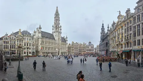
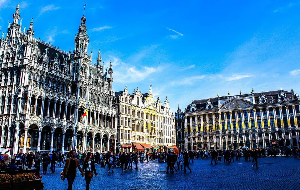
- The Lower Town (Ville Basse / Benedenstad, 15 to 25 metres elevation): Occupying the Senne River valley floor, the Lower Town grew from Duke Charles of Lower Lorraine's 979 CE castrum. That early fort stood on Saint-Géry Island and evolved into the commercial guild heart of Brussels. Between 1867 and 1871, Mayor Jules Anspach vaulted over the Senne River to create Haussmann-style central boulevards. These include Boulevard Anspach, Boulevard Adolphe Max, and Boulevard Maurice Lemonnier. Since 2015, these avenues have formed a 50-hectare car-free pedestrian zone in the city centre. East of Boulevard Anspach lie the UNESCO Grand-Place, Gothic Town Hall, and Manneken Pis. Nearby stand the 1847 glass-vaulted Galeries Royales Saint-Hubert and the Belgian Comic Strip Center. West of the boulevard sit the 1873 Bourse, Place Saint-Géry, Rue Antoine Dansaert, and Place Sainte-Catherine.
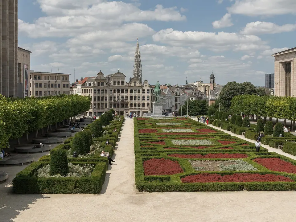
- The Mont des Arts and the Upper Town (Ville Haute / Bovenstad, 55 to 100 metres elevation): The Coudenberg slope rises steeply toward the former court of the Dukes of Brabant and Emperor Charles V. After a fire destroyed their palace in 1731, royal planners reshaped the ridge in neoclassical style. Today the landscaped Mont des Arts (Kunstberg) connects the Lower Town to Place Royale. On the crest sit the underground Coudenberg Palace ruins, the Royal Palace, and the 13-hectare Brussels Park. Around the square stand the Magritte Museum, Old Masters Museum, and the 1899 Old England Musical Instruments Museum. Just south lie the antique and chocolatier squares of the Grand Sablon and Petit Sablon.
- The Marolles and Palais de Justice: South of the Sablon rises Joseph Poelaert's colossal Palais de Justice, constructed between 1866 and 1883. The courthouse overlooks the working-class Marolles quarter from the broad terrace of Place Poelaert. A free glass public lift (Ascenseur des Marolles) bridges the 30-metre cliff down to the lower streets. From the bottom walkway, you reach the daily vintage flea market on Place du Jeu de Balle.
- Saint-Gilles, Ixelles, and Avenue Louise: Directly south of the Small Ring, nineteenth-century residential expansion created leafy middle-class neighbourhoods. Here you find an extraordinary concentration of Art Nouveau townhouses by Victor Horta, Paul Hankar, and Jules Brunfaut. The same southern communes include the Châtelain dining quarter, the Ixelles Ponds, and the 1938 Art Deco Flagey building.
- The European Quarter, Cinquantenaire, and Heysel Plateau: East of the Pentagon sit the Berlaymont, European Parliament, Parlamentarium, and House of European History. Further east rises the 1905 triple triumphal arch of the 30-hectare Parc du Cinquantenaire. Six kilometres northwest in Laeken stand the 1958 Atomium and the Royal Greenhouses of Laeken.
Decoding the 19 municipalities and bilingual street signs
Administratively, the Brussels-Capital Region spans 162 square kilometres and counts approximately 1.24 million residents. Governance is divided across 19 autonomous municipalities (communes / gemeenten). Each municipality maintains its own mayor, municipal council, and nineteenth-century town hall. When locals mention postal code 1000 (the City of Brussels), they mean the historic Pentagon first. That same municipality covers northern Laeken, Haren, Neder-Over-Heembeek, and the Avenue Louise corridor to Bois de la Cambre. Neighbouring Ixelles (1050, eek-SEL), Saint-Gilles (1060), Schaerbeek (1030, pronounced SKAHR-bayk), and Etterbeek (1040) operate as separate municipalities. Anderlecht (1070), Molenbeek-Saint-Jean (1080), Saint-Josse (1210), and Uccle (1180) also form distinct communes within the continuous urban area.
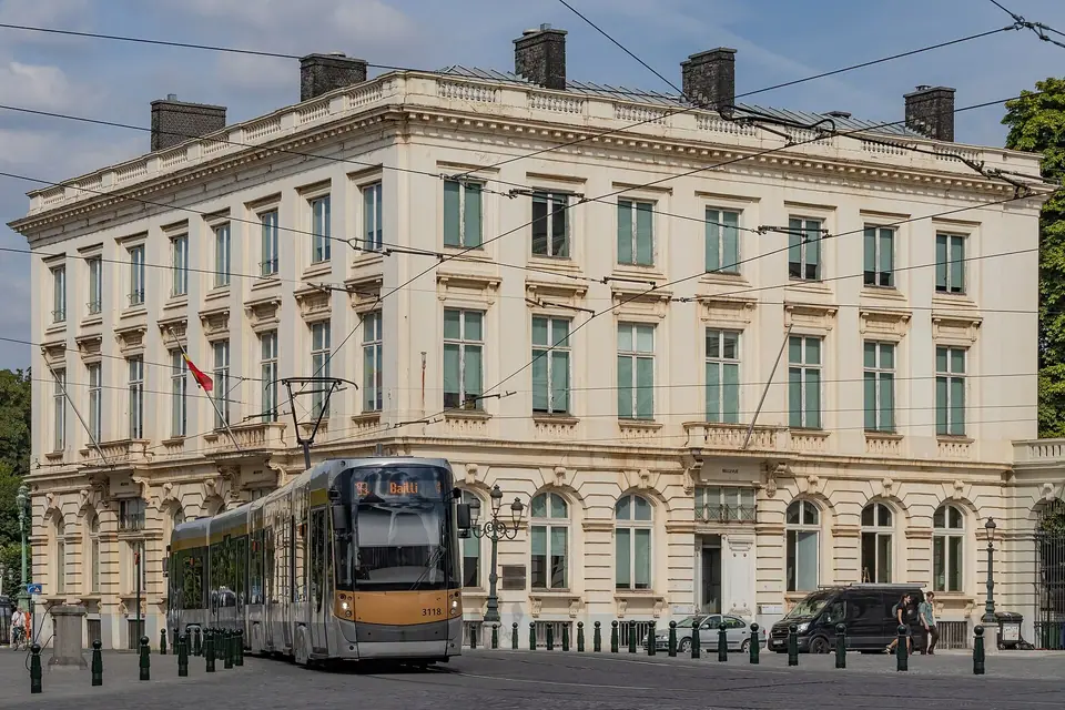
Because the Brussels-Capital Region is officially bilingual, every blue street plaque displays both French and Dutch names. STIB-MIVB metro platforms and NMBS/SNCB train departure boards also show both languages side by side. While some pairs look similar, several major landmarks use completely different historical words. Keeping these six core pairs in mind prevents confusion when reading station screens:
- Bruxelles-Midi / Brussel-Zuid: International Eurostar and ICE high-speed rail terminal, plus domestic InterCity platforms.
- Bruxelles-Central / Brussel-Centraal: Main underground station between the Lower Town and Mont des Arts, paired with Bruxelles-Nord / Brussel-Noord.
- Grand-Place / Grote Markt: The central UNESCO Baroque guildhall square in the Lower Town.
- Mont des Arts / Kunstberg: The landscaped museum hill connecting the Lower and Upper Town.
- Place du Jeu de Balle / Vossenplein: The daily Marolles flea market square, near Rue des Bouchers / Beenhouwersstraat.
- Parc du Cinquantenaire / Jubelpark: The eastern triumphal arch and museum park, plus Parc de Bruxelles / Warandepark by the Royal Palace.
Currency, plugs, Monday museum closures, and the Brussels Card
Belgium uses the Euro (EUR) across all transactions. Contactless bank cards work almost everywhere, from heritage chocolatiers and fry shacks to STIB-MIVB tram validators. Electrical sockets use standard European Type E and C outlets (230 Volts, 50 Hz) with a round grounding pin. Municipal tap water supplied by VIVAQUA is safe to drink across all 19 municipalities. When planning your 3-day Brussels itinerary and choosing where to stay in Brussels, remember Monday schedules. Almost all federal and municipal museums close on Mondays. Two major exceptions are the Atomium and the Parlamentarium, which stay open seven days a week. Travellers visiting four or more paid collections over 24, 48, or 72 hours can use the Brussels Card. It is sold as a museum-only pass or with an optional STIB-MIVB public transport add-on. Check official museum websites for free entry on the first Wednesday afternoon or first Sunday of each month.
Traveller tips
Real advice from people who have been to Brussels. Every tip is read by our team before it goes live.
No tips yet. Been here? Yours could be the first.
Thank you! Your tip will appear here after a quick review.
More in Brussels
Continue exploring Brussels with related neighbourhood, food, and planning guides
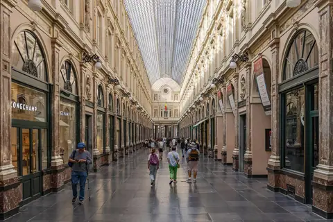
Galeries Royales Saint-Hubert, Comic Strip Route, Bourse & Sainte-Catherine Walk
Brussels, Belgium
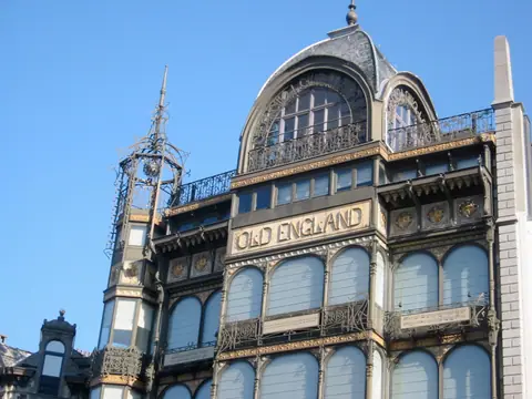
Mont des Arts, Royal Museums, Magritte Museum, MIM, Sablon & Marolles Guide
Brussels, Belgium
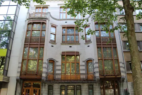
Victor Horta & Art Nouveau Walk: Horta Museum, Hôtel Tassel, Hôtel Solvay, Maison Hannon & Ixelles
Brussels, Belgium
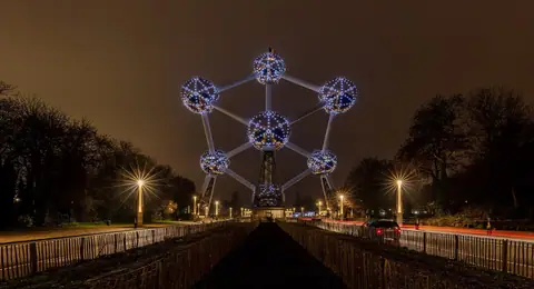
Atomium, Royal Greenhouses of Laeken, Parc du Cinquantenaire & Train World Guide
Brussels, Belgium