


























Southern Gothenburg Archipelago: Car-Free Styrsö, Vrångö and Brännö
How to explore the car-free islands of Gothenburg's southern archipelago in Västergötland using ordinary city transit tickets from Saltholmen and Stenpiren.
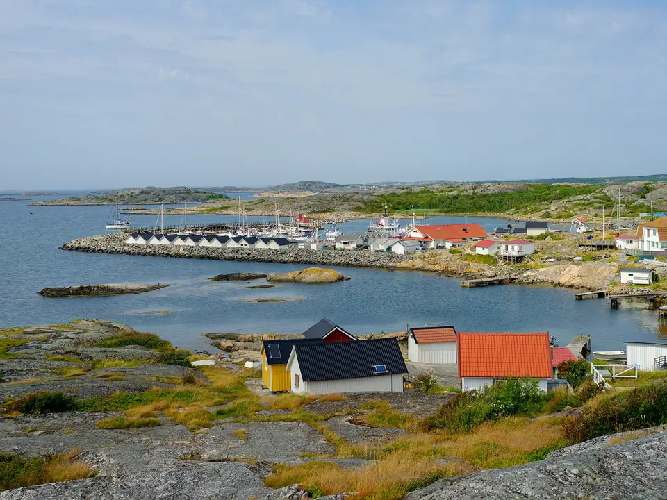
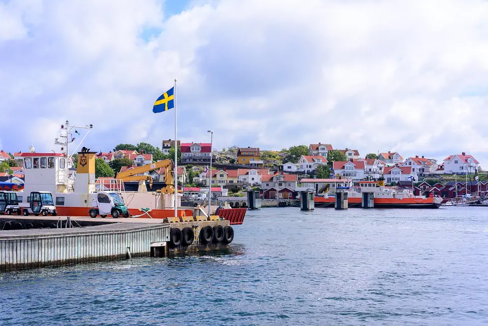
Lying off the mouth of the Göta älv in the historical province of Västergötland, the Southern Gothenburg Archipelago (Södra skärgården) forms a district within Gothenburg Municipality populated by roughly 5,000 year-round residents and another 6,000 summer inhabitants. Unlike the northern islands, the entire southern archipelago is strictly car-free: residents and tradespeople move groceries, luggage, and building materials on three-wheeled electric or petrol cargo mopeds (flakmopeder), bicycles, and, on the narrow footpaths of Köpstadsö, hand-pushed wheelbarrows. Because Styrsöbolaget operates the white passenger ferries on behalf of Västtrafik, your standard city tram ticket or day pass covers the boat crossing from Saltholmen (reached by trams 9 and 11) as well as direct commuter sailings from Stenpiren in the city centre.
Stepping off the ferry onto any of these granite islands immediately trades city traffic noise for the hum of electric carts, crying gulls, and wind rustling through coastal pines. Because the islands belong to Västergötland while the northern archipelago belongs to Bohuslän, the southern chain was historically linked to royal customs stations, pilot lookouts, and herring fisheries guarding the seaward approach to Gothenburg.
Styrsö and Bridge-Linked Donsö
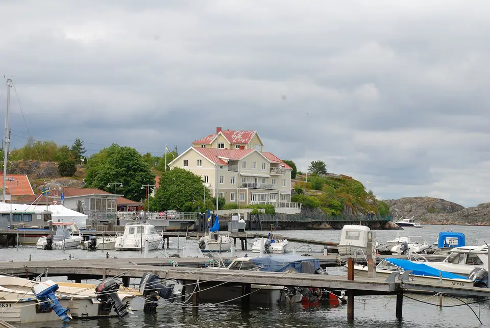
Styrsö sits in the middle of the southern island chain and brings together four distinct settlements: Bratten (a late-19th-century seaside resort quarter of wooden villas with fretwork verandas shaded by deciduous trees), the old fishing village of Tången with dense boathouses, Halsvik, and the parish centre around Styrsö Church (built in 1752). From the harbour, a signposted trail climbs to Stora Rös, the island's highest point at 57 metres above sea level, where a Bronze Age burial cairn overlooks Vinga lighthouse and the Kattegat horizon. At Styrsö's southern tip, a road bridge crosses the narrow sound to Donsö, a thriving shipping and fishing community whose harbour is lined with red wooden boathouses, fish smokeries, and coastal tankers owned by local island shipping families.
Walking from Styrsö Bratten ferry pier past the wooden verandas and lilac hedges toward Styrsö Tången lets you compare two sides of nineteenth-century island life: the summer leisure retreats built by Gothenburg merchants on the sheltered eastern shore and the tightly clustered white timber cottages of deep-sea fishermen facing the western channels. Continuing south across the high arch of Styrsöbron into Donsö harbour reveals a modern maritime fleet alongside traditional net sheds, harbourside cafés, and wooden swimming piers equipped with ladders into the clear salt water.
Brännö and Southernmost Vrångö
Closer to Saltholmen, Brännö (708 permanent residents in 2010) has two ferry quays, Rödsten on the north side and Husvik on the south, and a long history stretching back to the Icelandic Laxdæla saga, which records international Viking-Age trading assemblies on the Brännö islands. In summer, Brännö is famous across Sweden for its open-air jetty dances at Husvik (Dans på Brännö brygga), immortalised in Lasse Dahlquist's 1941 waltz, while a footbridge links the western shore to the uninhabited grazing pastures and bird sanctuary of Galterö.
Landing at Brännö Rödsten and walking thirty minutes across the island to Husvik takes you along winding lanes flanked by dry-stone walls, apple orchards, and ship captains' houses, with an easy detour west across the shallow sill onto Galterö's open coastal meadows. Because ferries serve both Rödsten and Husvik on separate routes from Saltholmen, walkers can traverse Brännö end-to-end without retracing their steps, pausing at the village inn, parish church, or historic pilot lookout above the sound along the way.
Köpstadsö, Asperö, and Swimming Coves
Between Saltholmen and Styrsö lie smaller inhabited islands with distinct personalities. On Köpstadsö (locally called Kössö), narrow footpaths wind so tightly between timber cottages and granite outcrops that even cargo mopeds are banned, leaving painted wheelbarrows lined up beside the ferry pier as the sole means of hauling supplies. Neighbouring Asperö offers a sheltered harbour village and a wooded ridge viewpoint facing the main shipping channel where cargo liners and ferries enter the Göta älv estuary. Across all of the southern islands, public bathing areas combine shallow sandy coves for children with smooth granite ledges and stainless-steel sea ladders along the deeper channels.
Because each ferry from Saltholmen stops at multiple island piers in sequence, checking the illuminated destination board on the quayside before boarding helps you pick either a fast direct boat to outer Vrångö or a multi-stop island-hopping vessel that calls at Asperö, Köpstadsö, Styrsö, and Donsö. Inside the heated lower cabins and open upper sun decks of the Styrsöbolaget boats, wide windows frame rocky skerries dotted with navigational beacons and basking harbour seals.
Walking across any of these southern islands highlights how car-free transport preserves a quiet coastal landscape just outside a major port city. Wild rose hedges, honeysuckle, and weathered wooden boat sheds line the paved lanes between ferry piers, while elevated granite ridges open onto views of cargo vessels rounding Vinga lighthouse out in the Kattegat. Even in cooler spring or autumn months, sheltered benches carved into south-facing rock faces catch the midday sun, making the archipelago a year-round walking destination for Gothenburgers.
Vrångö Nature Reserve and Island-Hopping Logistics
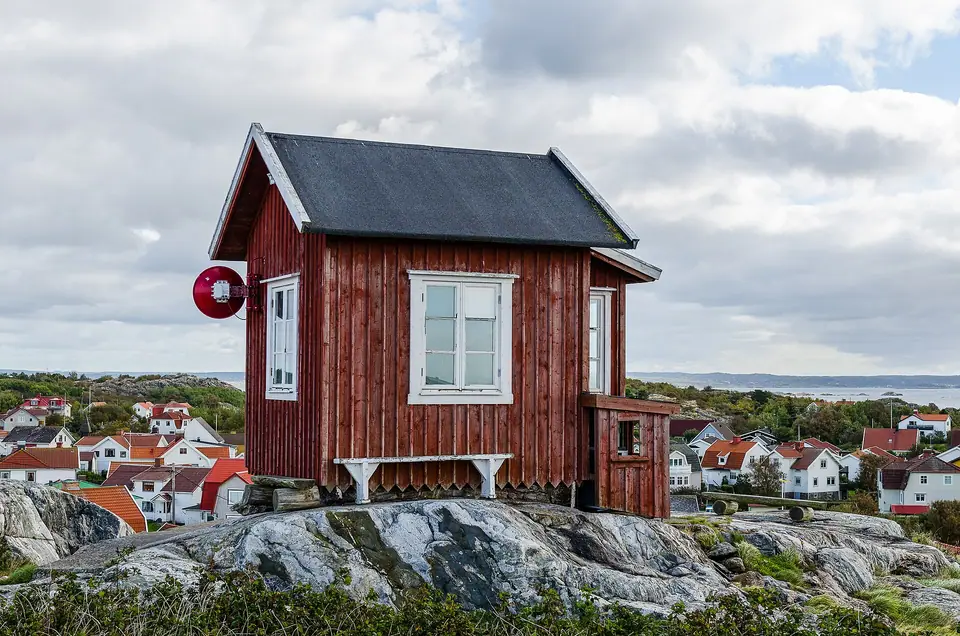
- Vrångö (2.43 km², 377 residents in 2020): The southernmost inhabited island is surrounded by the Vrångöskärgården Nature Reserve. Walk the coastal loops north and south of the village to sandy swimming coves, smooth glaciated granite slabs, and the historic red wooden pilot lookout hut (Lotsutkiken) atop the ridge.
- Island-hopping route: Take tram 11 from Brunnsparken to Saltholmen (about 30 minutes), sail first to Vrångö (25 to 35 minutes), return one stop north to Donsö and walk across the bridge to Styrsö Bratten for seafood lunch before sailing back to Saltholmen as outlined in Day 3 of our three-day Gothenburg itinerary.
- Practical ferry preparation: Bicycles are permitted on many sailings when deck space allows, grocery stores operate year-round on Styrsö, Donsö, Brännö, and Vrångö, and windproof outer layers are helpful on exposed outer decks even in summer weather; check the official Västtrafik app for live departure piers at Saltholmen.
When returning toward Saltholmen in the late afternoon, sit on the starboard side or upper deck of the ferry to watch the low western light illuminate the red boathouses, granite headlands, and white wooden churches scattered across the southern skerries.
Traveller tips
Real advice from people who have been to Southern Gothenburg Archipelago: Car-Free Styrsö, Vrångö and Brännö. Every tip is read by our team before it goes live.
No tips yet. Been here? Yours could be the first.
Thank you! Your tip will appear here after a quick review.
More in Gothenburg
Continue exploring Gothenburg with related neighbourhood, food, and planning guides
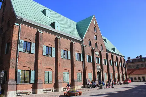
Kronhuset, Gustaf Adolfs Torg and the Museum of Gothenburg
Gothenburg, Sweden
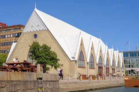
What to Eat in Gothenburg: Feskekôrka, Shrimp Sandwiches and Hagabullen
Gothenburg, Sweden
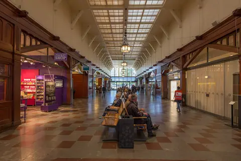
How to Get to Gothenburg: Landvetter Airport, Central Station and Trams
Gothenburg, Sweden
Where to Stay in Gothenburg: Best Areas from Inom Vallgraven to Haga
Gothenburg, Sweden
