


























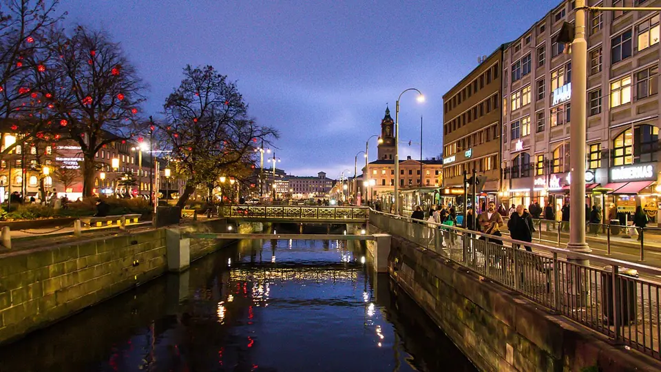
Gothenburg: Dutch Canals, Haga and West Coast Islands
How Gothenburg is laid out between the Göta älv river, the 17th-century Vallgraven moat, Haga, Kungsportsavenyn, and the Kattegat archipelago.
Founded by royal charter in 1621 under King Gustavus Adolphus, Gothenburg was built on the southern bank of the Göta älv estuary to secure Sweden's direct trade access to the Kattegat and North Sea. Dutch urban planners, engineers, and merchants shaped the fortified core, digging canals modeled on Amsterdam and Jakarta so cargo barges could unload directly beside merchant houses. Today Gothenburg is Sweden's second-largest city and the fifth-largest in the Nordic countries, with 674,529 residents in its urban area and 1,100,000 across the metropolitan region in 2023. Its municipal territory spans 721.64 square kilometres, of which 450.23 square kilometres are land and 271.41 square kilometres are river and sea water. Located alongside the Port of Gothenburg (the largest harbour in the Nordic countries), the city is also a major university centre hosting the University of Gothenburg and Chalmers University of Technology.
When Sweden secured its narrow coastal corridor between Danish Halland to the south and Norwegian Bohuslän to the north, marshy ground along the river mouth required drainage techniques mastered in the Low Countries. Dutch, German, and Scottish burghers settled inside the defensive ramparts, giving the port an international mercantile character that endured through the eighteenth-century voyages of the Swedish East India Company and the nineteenth-century timber, iron, and textile boom. British industrialists and engineers who arrived during the nineteenth century left such a lasting mark on civic parks, factories, and social habits that Swedes still affectionately refer to Gothenburg as Little London (Lilla London).
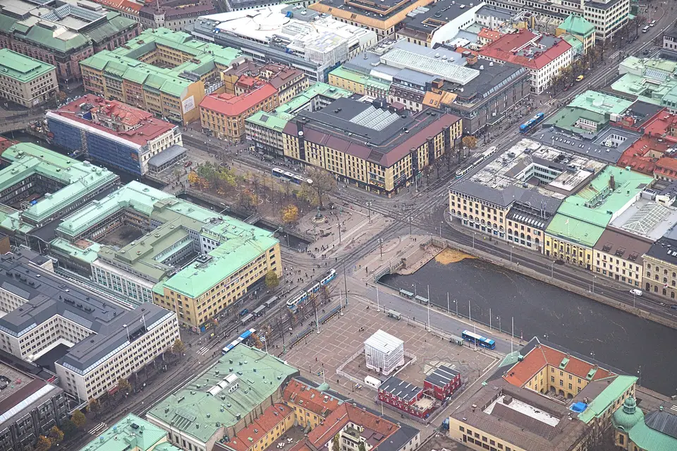
How the City Districts Connect
The historic centre, Inom Vallgraven (Within the Moat), sits on an island-like peninsula framed by the Göta älv to the north and the zig-zagging 17th-century defensive moat (Vallgraven) to the south. Stora Hamnkanalen (the Great Harbour Canal) bisects this core past Gustaf Adolfs torg, the 1643 to 1654 Kronhuset, and the 1762 Swedish East India Company House. Immediately east of the moat, Gothenburg Central Station and the 1842 garden park of Trädgårdsföreningen anchor the rail arrival zone.
Walking across the canal bridges reveals how the early nineteenth-century dismantling of the stone ramparts opened a curving green belt along Nya Allén. Rather than filling in the outer defensive ditch, municipal planners preserved the water channel as a landscaped promenade bordered by mature trees, glass conservatories, and open squares. Within the moat, flat street grids make strolling between Brunnsparken, Kungstorget, and the riverside quays at Packhuskajen and Stenpiren effortless in every season, with sightlines following the water toward the harbour mouth and historic customs piers.
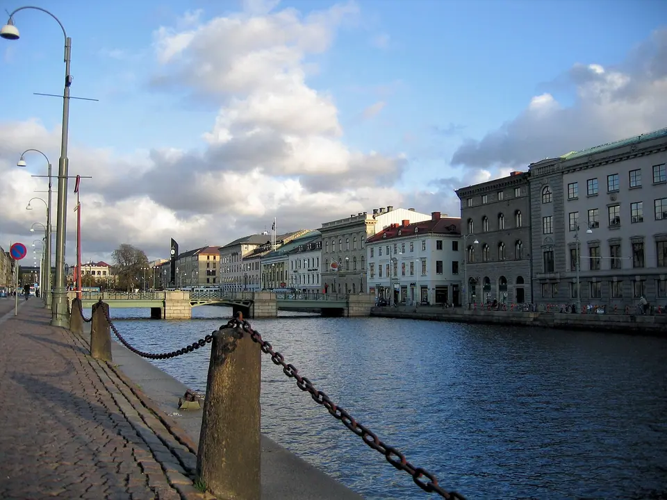
South of the Moat and Across the River
Bridges across the Vallgraven lead into two contrasting 19th-century neighbourhoods. To the southwest lies Haga, Gothenburg's first suburb from 1647, lined with three-storey brick-and-wood landshövdingehus beneath the 87-metre hill of Skansen Kronan, and further southwest stretch the 137-hectare park of Slottsskogen and the 175-hectare Gothenburg Botanical Garden. To the southeast, the broad boulevard of Kungsportsavenyn climbs to Götaplatsen and the cultural corridor of Korsvägen, where Liseberg, Universeum, and World of Volvo stand. Across the Göta älv on Hisingen, former shipyards at Lindholmen and Eriksberg now form a technology, university, and waterfront promenade district.
Between Haga and Kungsportsavenyn sits Vasastaden, a nineteenth-century grid of stone apartment blocks, neo-Renaissance university buildings, and leafy squares that bridge the transition between the working-class timber streets of the west and the ceremonial cultural institutions of Lorensberg. Further west along the southern river bank, the historic maritime neighborhoods of Masthugget, Majorna, and Klippan preserve hillside wooden tenements, cultural boilerhouses, and the old East India anchorage near the suspension bridge pylons.
Coastal Geography and the Dual Archipelago
Unlike inland cities, Gothenburg opens directly onto a rocky granite coastline shaped by Ice Age glaciation. Where the freshwater outflow of the Göta älv mixes with saline currents from the Kattegat and Skagerrak, chains of treeless outer skerries and wooded inner islands shelter the harbour approach. The coastal waters split neatly into two distinct zones: a car-free southern island chain in Västergötland reached by passenger ferries from Saltholmen, and a bridge-linked northern chain in Bohuslän reached by road ferries from Lilla Varholmen toward Hönö, Öckerö, and the fortress island of Marstrand. This maritime geography shapes local dining as well, supplying cold-water shrimp, langoustines, mussels, and cod to Feskekôrka and Stora Saluhallen.
Industrial Heritage, Universities, and Everyday Rhythm
Gothenburg's transition from a shipbuilding and ball-bearing powerhouse into a green research hub is visible across both riverbanks. Founded in the city in 1927, Volvo still maintains its corporate roots on Hisingen alongside global engineering and life-science firms such as SKF, Ericsson, and AstraZeneca. During the academic year, students from the University of Gothenburg and Chalmers University of Technology fill the reading rooms around Vasaparken, the independent coffee roasters of Linnéstaden, and the riverside boardwalks at Lindholmen. Even with its industrial reach, the city retains an unhurried, human-scale rhythm centered on afternoon fika breaks, tram rides, and public parkland.
For visitors, this compact scale means you rarely need to choose between urban museums and coastal nature. A morning spent examining Viking oak ship timbers or Nordic oil paintings inside the city centre can be followed after lunch by a tram ride to Saltholmen and a breezy ferry crossing onto granite island trails, returning in time for an evening concert or seafood dinner along the canals.
Navigating Trams, River Ferries, and Zone A Transit
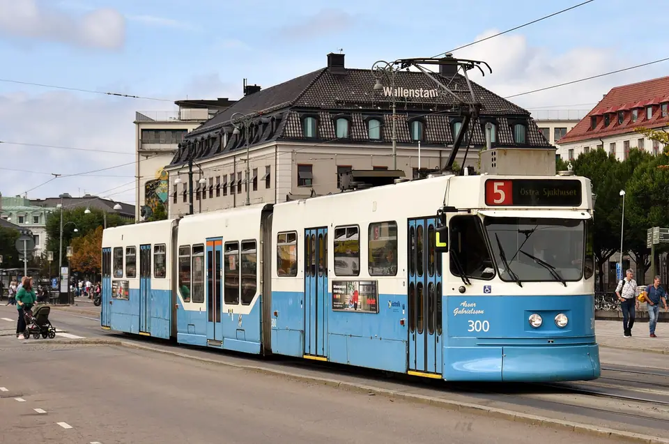
- Blue-and-white trams: Operating since 1879 and electrified in 1902, the Gothenburg tramway is the largest in the Nordics, with 12 lines and 132 stops converging around Brunnsparken, Centralstationen, and Korsvägen. Real-time digital boards at shelters track approaching carriages across the urban rail network.
- Unified island transit: The Västtrafik To Go app covers city trams, buses, Älvsnabben river ferries, and Styrsöbolaget ferries from Saltholmen to the southern archipelago, making an afternoon island crossing as simple as a standard city tram ride.
- Cashless daily travel: Trams, museums, cafés, and market stalls operate almost entirely by contactless card or mobile payment; check the official site before boarding for zone coverage and compare central hotel bases across the inner neighbourhoods.
- Seasonal pacing: Match your itinerary to daylight and weather shifts using our seasonal climate guide or follow our structured three-day city and island route across the main sights.
Traveller tips
Real advice from people who have been to Gothenburg: Dutch Canals, Haga and West Coast Islands. Every tip is read by our team before it goes live.
No tips yet. Been here? Yours could be the first.
Thank you! Your tip will appear here after a quick review.
More in Gothenburg
Continue exploring Gothenburg with related neighbourhood, food, and planning guides
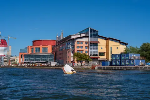
Gothenburg Opera, Maritiman Ships, Eriksberg and Älvsborg Bridge
Gothenburg, Sweden
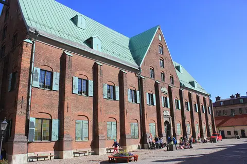
Kronhuset, Gustaf Adolfs Torg and the Museum of Gothenburg
Gothenburg, Sweden
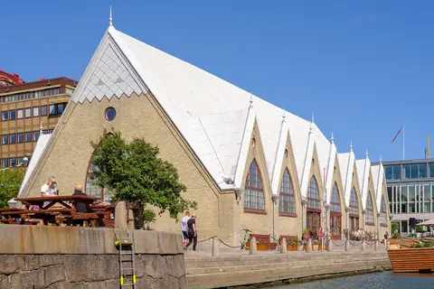
What to Eat in Gothenburg: Feskekôrka, Shrimp Sandwiches and Hagabullen
Gothenburg, Sweden
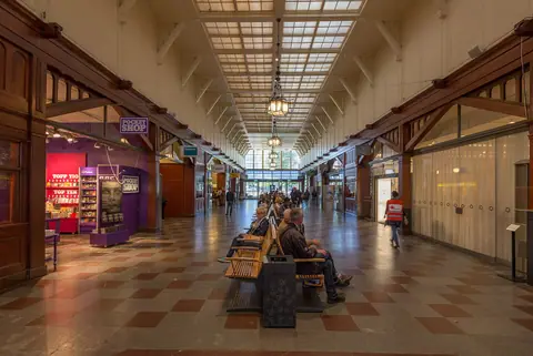
How to Get to Gothenburg: Landvetter Airport, Central Station and Trams
Gothenburg, Sweden
