


























Harder Kulm Funicular (Harderbahn) and Two Lakes Footbridge
Everything you need to know about riding the Harderbahn funicular to Interlaken's 1,322-metre home viewpoint and cantilevered platform.
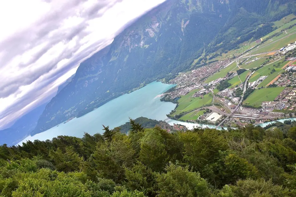
Rising steeply above the northern bank of the Aare in the municipality of Unterseen, Harder Kulm is the westernmost viewpoint on the wooded Harder ridge at 1,322 metres above sea level. Because it stands directly opposite the mouth of the Lütschine valley, looking south from its terrace aligns the entire Bödeli floodplain below with the turquoise expanse of Lake Brienz to the left, deep blue Lake Thun to the right, and the three high peaks of the Eiger (3,967 metres), Mönch (4,110 metres), and Jungfrau (4,158 metres) straight ahead.
No other viewpoint in the region reveals the geographical meaning of Interlaken so clearly in a single glance. From the edge of the ridge, the flat alluvial plain appears like a natural land bridge separating two contrasting bodies of water, while the silver ribbon of the Aare connects them directly beneath your feet. Because the ascent takes less than ten minutes from the valley floor, it is a highly accessible mountain panorama in the municipality.
Riding the 1908 Harderbahn Funicular from Interlaken Ost
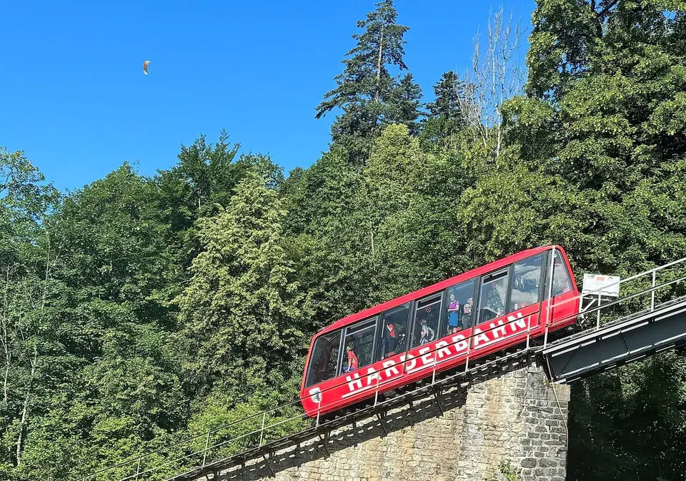
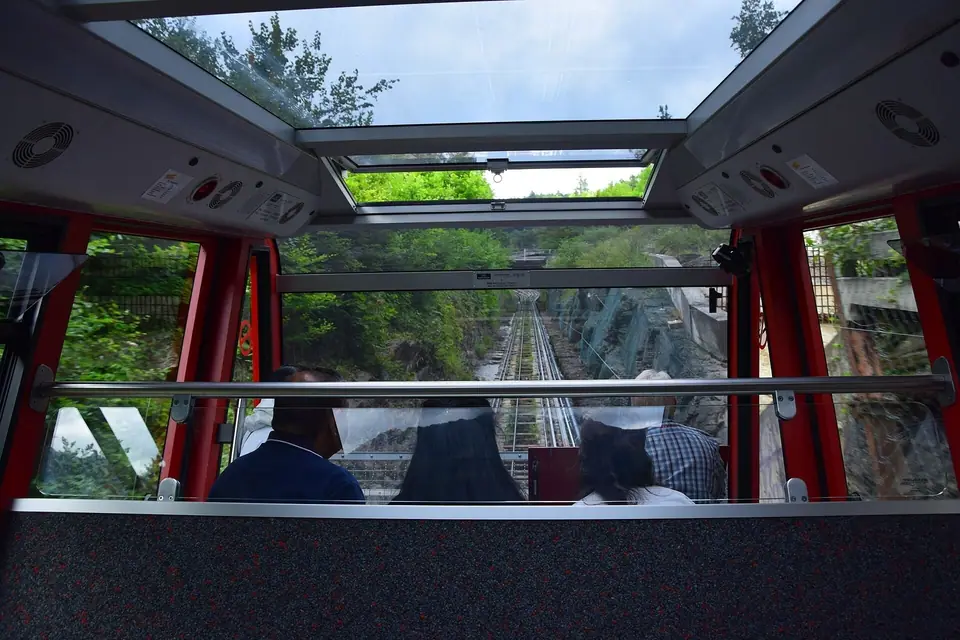
The valley station of the Harderbahn (HB) sits at 567 metres on the right bank of the Aare, a five-minute walk north across the river bridge from Interlaken Ost railway station. Concessioned in 1890 on the initiative of railway pioneer Adolf Guyer-Zeller and built between 1905 and 1907, the metre-gauge funicular opened on 15 May 1908. Unlike traditional straight-line funiculars, its 1,447-metre track traces a long curve up the mountainside, climbing 755 vertical metres with a maximum gradient of 64 percent and passing through a 68-metre curved tunnel and over stone viaducts. Two red panoramic carriages with glazed roofs pass each other at a central Abt turnout, completing the ascent in under ten minutes. The line operates from spring through late autumn; check the official Jungfrau Railways website for seasonal dates and evening departures.
As the carriage rises out of the lower beech woods, open clearings along the masonry viaducts give passengers progressively wider views across the rooftops of Interlaken Ost and the western end of Lake Brienz. The steepness of the track and the glass-roofed cabins allow you to look both upward toward the rocky crest and downward along the inclined rail bed throughout the climb.
The Two Lakes Footbridge and Turreted Panorama Restaurant
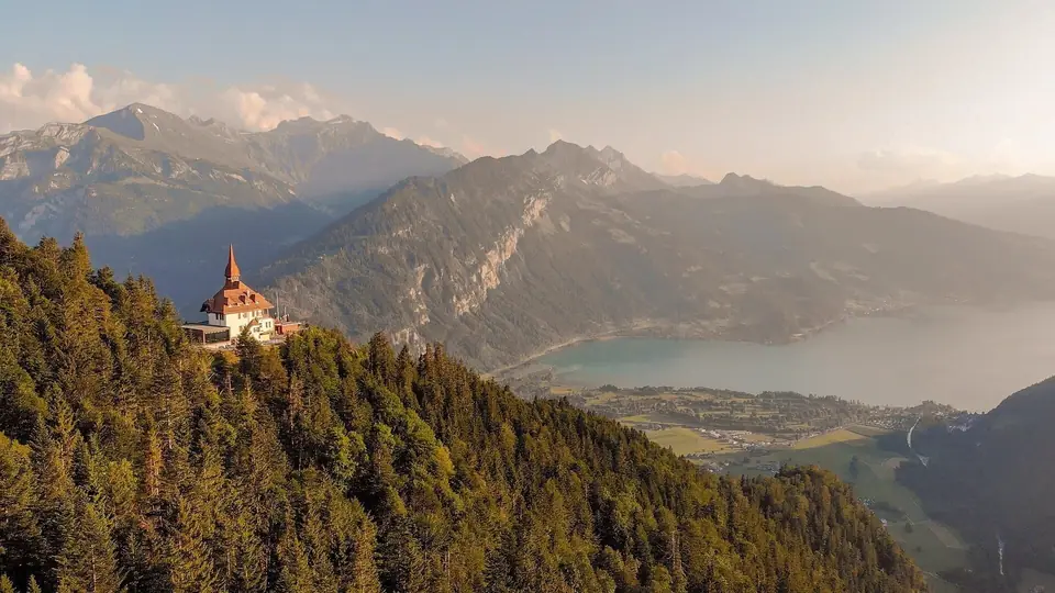
Five minutes on foot along a level woodland path from the top station (1,305 metres) stands the Harder Kulm Panorama Restaurant at 1,322 metres, built between 1908 and 1912 in a Swiss chalet and Neo-Renaissance Villa style with a red-tiled corner turret. Just below the restaurant terrace projects the Two Lakes Footbridge (Zwei-Seen-Steg), a triangular steel viewing platform opened in October 2011 with a glass floor panel looking 750 metres straight down to Interlaken. Directly on the southern cliff face below the viewpoint, a natural rock clearing resembles a bearded face known in local monastery legend as the Hardermannli.
The distinctive red turret of the summit building is visible from all over the valley floor, including the lawns of the Höhematte and the bridges of Unterseen. On the terrace, informative relief panels identify the surrounding peaks and valleys, helping visitors trace the course of the Lütschine railway lines toward Lauterbrunnen and Grindelwald as well as the shipping lanes across both lakes.
Ridge Trails Toward Augstmatthorn and Elfenau
For hikers who want to extend the visit, marked mountain trails lead east along the Hardergrat ridge toward the Augstmatthorn (2,137 metres) or descend through the Elfenau woods back to Interlaken Ost in roughly two and a half hours. Compare this short ascent with the longer cogwheel ride to Schynige Platte.
Walking even a short section of the upper forest path east of the restaurant rewards you with quiet viewpoints through the pines where Lake Brienz fills the entire eastern horizon. Those descending on foot follow zigzagging woodland tracks shaded by mature beech and fir trees, passing the small wildlife enclosure near the base station where alpine ibex live on rocky ledges above the river.
Choosing the Right Light for the Summit Terrace
Because Harder Kulm faces due south across the Bödeli, lighting conditions shift dramatically over the course of the day. Morning ascents offer crisp air and clear views into the deep valleys before afternoon cumulus clouds form around the high peaks. Late-afternoon and early-evening rides during the warmer months bring soft side lighting across the north wall of the Eiger and warm alpenglow on the snowfields of the Jungfrau while town lights begin to twinkle across the valley plain below.
Even if you have a couple of hours free after returning from a lake cruise or valley walk, the proximity of the base station to Interlaken Ost makes it effortless to check the summit sky from the river bridge, ride the funicular up for a sunset panorama on the cantilevered footbridge, and return to the valley floor in time for dinner.
Even if you have a couple of hours free after returning from a lake cruise or valley walk, the proximity of the base station to Interlaken Ost makes it effortless to check the summit sky from the river bridge, ride the funicular up for a sunset panorama on the cantilevered footbridge, and return to the valley floor in time for dinner.
Looking down from the viewing platform also provides an instructive lesson in alpine geology and transport engineering. Directly below the steel bridge, you can trace how the sediment fans of the Lütschine and Lombach rivers pushed out into the prehistoric valley trough to separate Lake Brienz from Lake Thun, and see how the railway engineers routed the standard-gauge tracks across the iron Aare bridges to link both basins. To the left, the milky turquoise tint of Lake Brienz reveals the heavy load of glacial silt carried down from the high icefields, while to the right, the deep cobalt surface of Lake Thun stretches past the wooded delta of Weissenau toward the distant silhouette of the Niesen. Few mountain viewpoints anywhere in the Alps pack so much visible history, hydrology, and vertical relief into such a brief, comfortable funicular ride from the edge of town. Bringing a pair of compact binoculars lets you spot paddle steamers crossing both lake basins and trains threading through the Lütschine gap far below.
Traveller tips
Real advice from people who have been to Harder Kulm Funicular (Harderbahn) and Two Lakes Footbridge. Every tip is read by our team before it goes live.
No tips yet. Been here? Yours could be the first.
Thank you! Your tip will appear here after a quick review.
More in Interlaken
Continue exploring Interlaken with related neighbourhood, food, and planning guides
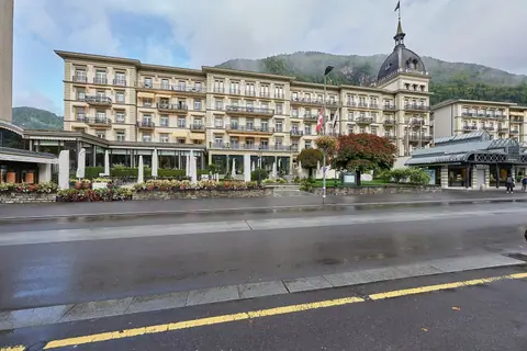
Höhematte Park, Höheweg and Schloss Interlaken Guide
Interlaken, Switzerland
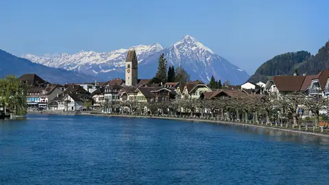
Unterseen Old Town, Aare River Bridges and Weissenau Castle
Interlaken, Switzerland
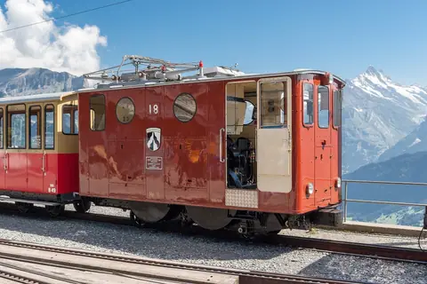
Schynige Platte Railway and Alpine Botanical Garden Guide
Interlaken, Switzerland
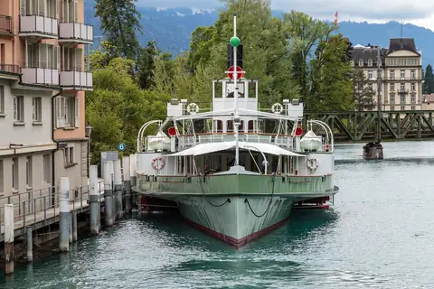
Lake Brienz (Brienzersee), Paddle Steamer Lötschberg and Giessbach Falls
Interlaken, Switzerland
