


























Interlaken: Valley Layout, Lakes and Mountain Rail
How the Bödeli alluvial plain links Lake Brienz and Lake Thun, with practical orientation between Interlaken West, the Höhematte, and Interlaken Ost.
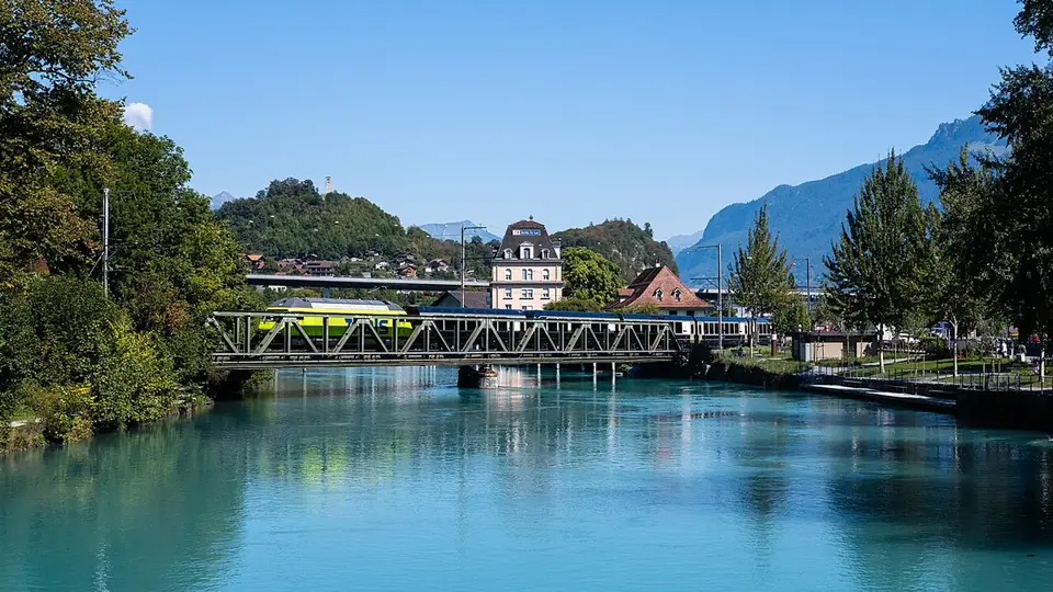
Interlaken occupies the flat alluvial plain known as the Bödeli at 568 metres above sea level in the Interlaken-Oberhasli administrative district of the canton of Bern. Covering only 4.30 square kilometres, it serves as the primary rail and steamer crossroads for the entire region. To the east lies turquoise Lake Brienz at 564 metres; to the west lies deep blue Lake Thun at 558 metres. Connecting the two basins, the River Aare flows 5.5 kilometres from east to west across the gravel plain built up by the Lütschine and Lombach rivers.
This unusual geography makes the municipality a natural funnel between the pre-alpine lake basins and the glaciated walls of the Bernese Oberland. Over thousands of years, coarse gravel and fine glacial silt carried down from the high valleys settled into the calm waters of a prehistoric post-glacial lake, gradually dividing a single body of water into the two separate lakes seen today. Because the resulting floodplain is almost completely flat, walking or cycling across the valley requires zero climbing, even though steep forested ridges rise immediately behind both riverbanks.
From Interlacus Priory and Aarmühle to Alpine Resort
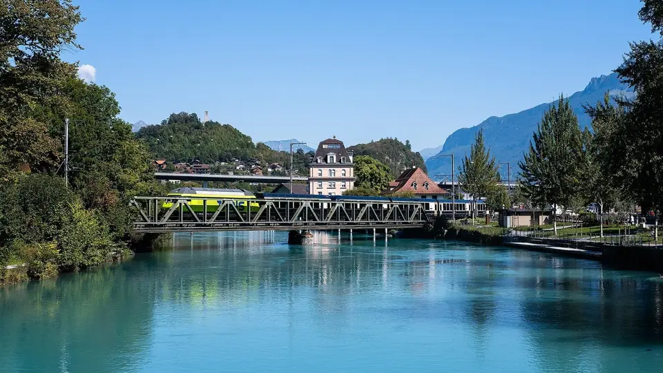
On 8 November 1133, Emperor Lothair III took the Augustinian canons' convent of Interlacus (founded around 1130 by Freiherr Seliger of Oberhofen) under imperial protection. Double monastic communities of canons and canonesses managed extensive estates across the surrounding valleys until the Bernese Reformation secularised the monastery in 1528 and converted its buildings into a cantonal bailiff's seat and hospital. For centuries the village west of the monastery grounds was called Aarmühle after its watermills on the Aare, while nearby Unspunnen Castle hosted the first Unspunnenfest of Swiss herdsmen on 17 August 1805. As 19th-century painters, writers, and mountaineers arrived to explore the Bernese Oberland and the Bödelibahn railway linked the two lakes between 1872 and 1874, Aarmühle grew into an international spa and hotel boulevard and officially adopted the name Interlaken in 1891.
During the monastic centuries, the priory controlled river crossings, fishing weirs, and alpine pastures stretching far into the Lauterbrunnen and Grindelwald valleys. After secularisation, Bernese governors administered welfare grain stores and regional courts from the former cloister buildings, laying the institutional foundations for a modern district capital. When European romantic travellers began arriving to drink goat whey and sketch waterfalls, local innkeepers recognized that the open agricultural fields facing south toward the snow peaks were the town's greatest asset, transforming a quiet mill settlement into a celebrated resort corridor.
Orienting Yourself Between West and Ost
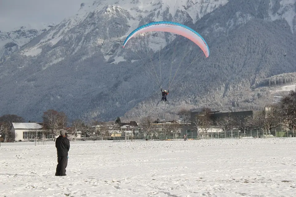
Everything on the valley floor aligns along a single 1.6-kilometre east-west boulevard, the Höheweg, which links the town's two railway stations: Interlaken West and Interlaken Ost. Halfway along the avenue opens the 35-acre Höhematte park, preserved free of buildings since 1860 so visitors can look south between the foothills straight to the 4,158-metre summit of the Jungfrau and watch tandem paragliders land on the grass. Immediately north across the Aare bridges sits the medieval town of Unterseen, founded in 1279.
Understanding the distinct role of each end of town simplifies every excursion. The western sector around Interlaken West station serves the pedestrian shopping street of Bahnhofstrasse, the timber-framed squares of Unterseen, and the shipping canal for Lake Thun boats. The eastern sector around Interlaken Ost station anchors the former monastery precinct, the Lake Brienz steamer landing, the Harderbahn funicular across the river, and the narrow-gauge platforms where mountain trains depart for the high valleys and over the Brünig Pass.
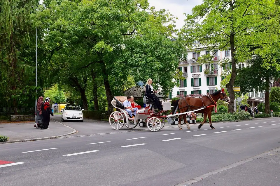
Water and rail infrastructure work together across the Bödeli so travellers can move from lake deck to cogwheel carriage in a matter of minutes. On the eastern side, glacial rock flour suspended in the Lütschine and upper Aare gives Lake Brienz an opaque turquoise sheen, while Lake Thun to the west displays a deeper cobalt colour because the upper basin traps the heaviest sediment before the river crosses town. Between the two lakes, engineered stone weirs regulate the Aare around the wooded island of Spielmatte, creating calm riverside footpaths shaded by mature deciduous trees.
To the south, the narrow gap of the Lütschine river provides the sole level entry into the high alpine basins of the Jungfrau region. Trains leaving Interlaken Ost follow this river gorge before splitting toward the vertical limestone cliffs of Lauterbrunnen on one side and the green pasture amphitheatre of Grindelwald on the other. This branching geometry allows visitors to ascend by one valley, traverse high mountain passes by rack railway or aerial cableway, and descend by the neighbouring valley on a continuous loop without retracing their steps.
Structuring Your Days by Altitude and Local Transit
Interlaken works best when you match your daily schedule to mountain visibility. Keep high-altitude excursions to Jungfraujoch (3,454 metres), Schynige Platte (1,967 metres), and Harder Kulm (1,322 metres) flexible for clear mornings, and save cloudy hours for paddle steamer cruises, waterfalls, and limestone caverns. Overnight guests receive the local Visitor's Card for buses across the valley floor, while regional rail passes and our seasonal climate guide, neighbourhood lodging guide, and three-day itinerary help you balance valley walks with alpine trains.
Live mountain webcams displayed at both railway stations and hotel reception desks show real-time cloud ceilings at the upper ridge stations each morning. Because alpine cumulus clouds frequently build around the high peaks during warm summer afternoons, departing early on clear days guarantees sharp views across the glaciers and lake basins. Later in the afternoon, returning to the valley floor gives you unhurried hours to stroll the walnut-shaded promenade, watch paragliders circle above the open lawn, and dine on traditional Bernese cheese dishes in a historic tavern.
Whether you arrive by standard-gauge express from Bern and Basel or descend across the scenic Brünig Pass from Lucerne, the flat geometry of the valley floor makes every transfer intuitive. Footpaths, cycle lanes, and municipal bus routes run parallel to the river and boulevard, ensuring that even travellers with heavy luggage or strollers can move comfortably between lake piers, monastery gardens, and mountain rail platforms throughout the year.
This balance between effortless valley movement and rapid alpine ascent explains why the Bödeli has remained the premier base for exploring the Bernese Oberland since the nineteenth century. Every path along the river and park leads directly back to the twin stations.
Traveller tips
Real advice from people who have been to Interlaken: Valley Layout, Lakes and Mountain Rail. Every tip is read by our team before it goes live.
No tips yet. Been here? Yours could be the first.
Thank you! Your tip will appear here after a quick review.
More in Interlaken
Continue exploring Interlaken with related neighbourhood, food, and planning guides
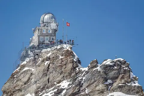
Jungfraujoch (3,454 m) and the Jungfrau Railway Guide from Interlaken
Interlaken, Switzerland
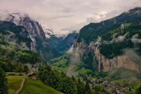
Lauterbrunnen Valley, Grindelwald and Eiger Day Trips from Interlaken
Interlaken, Switzerland
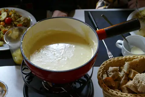
What to Eat in Interlaken: Fondue, Raclette, Rösti and Alpkäse
Interlaken, Switzerland
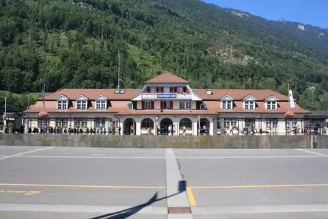
How to Get to Interlaken: Ost vs West Stations, Trains and Boats
Interlaken, Switzerland
