


























Freedom Monument and Riga's City Canal: A Walk Through the Boulevard Belt
Connect the Freedom Monument to the City Canal and green belt to understand the nineteenth-century expansion around Riga's medieval core.
The Freedom Monument stands where Riga's medieval core meets the later central city. The monument is part of a wider landscape. Nearby parks and the City Canal belong to the nineteenth-century boulevard semicircle in UNESCO's Historic Centre of Riga. Walk the transition slowly and the layout becomes easier to read. The old centre gives way to open green space, then to the broader streets of the later city.
Read the monument's symbols
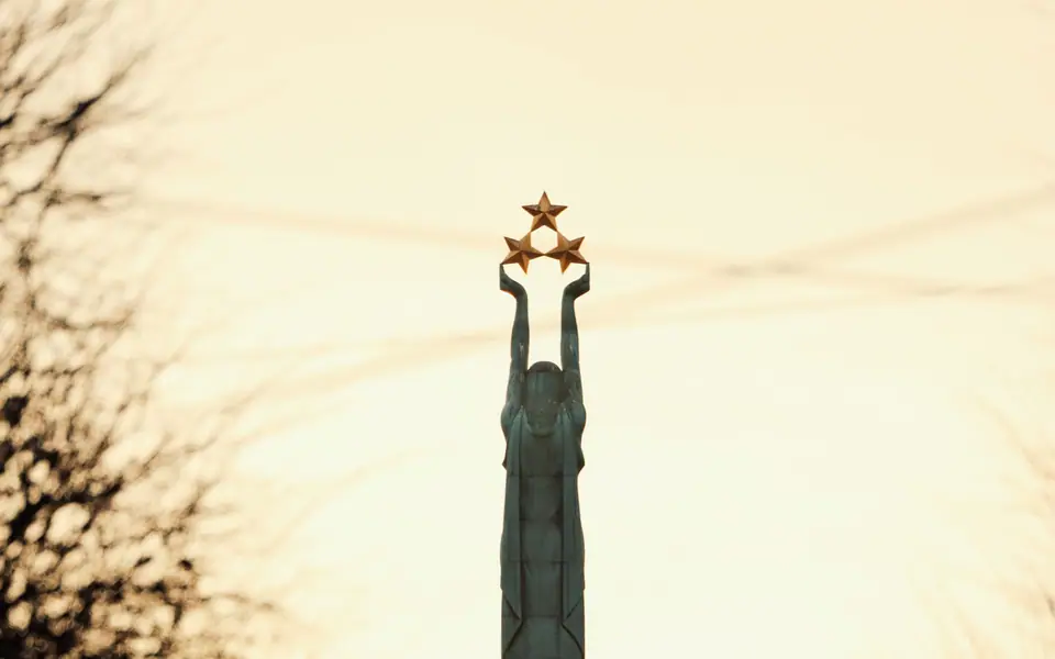
LiveRiga identifies the monument as a granite and copper work designed by sculptor Kārlis Zāle and architect Ernests Štālbergs. It was unveiled on 18 November 1935 and financed through public donations. The figure holds three stars representing Kurzeme, Vidzeme and Latgale. The official account describes sculptural groups across several levels. Examine the base as well as the figure at the top.
The monument is an outdoor public landmark. If you visit during a public ceremony or gathering, be considerate of participants and leave space around the site. We do not include changing guard times because such arrangements can vary. Check LiveRiga's current information for any planned event or access notice.
Follow the canal and green belt
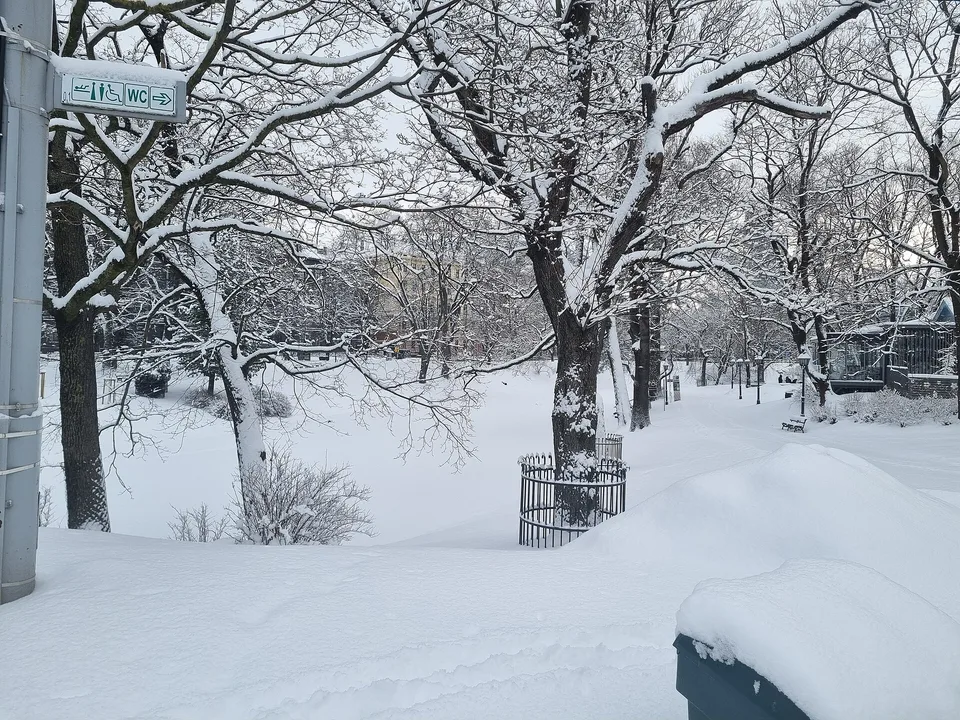
UNESCO describes the nineteenth-century boulevard area as a semicircle with a green belt on both sides of the City Canal. This form records how Riga expanded beyond its medieval boundary. The canal and parks create a softer edge between the old centre and later districts, with cultural buildings and streets appearing around the green space.
Use the canal as a walking spine, not as a guarantee that every attraction sits directly beside it. The Latvian National Opera, parks and museums belong to the central area, but check exact addresses and visitor details before deciding which interiors to include. The practical route is to choose a direction and then select one or two stops that fit your interests.
Connect this walk to Old Town and Alberta Street
From the Freedom Monument, you can return towards the Old Town or continue towards the Art Nouveau quarter. These options reveal different stages of Riga's built history. The Old Town guide focuses on the medieval street network, while Alberta Street explains the later architecture.
Do not try to cover both extensions in detail if you want a relaxed park walk. The monument, canal and one architectural district make a coherent route. For a longer central day, use the three-day itinerary to organise the other stops geographically.
A simple route for visitors
- Begin at the Freedom Monument and read the sculptural levels and three-star symbolism.
- Walk towards the City Canal and follow the public green spaces at a comfortable pace.
- Choose either an Old Town return or a continuation towards Alberta Street.
- Check museum and event details separately if you plan to add an indoor stop.
This route works for travellers who want a clear central walk without a scheduled interior visit. It also provides a useful break between two denser architectural areas. The parks are not merely decoration around the monument; they are part of the wider urban form protected within the historic centre.
Practical notes for the walk
Wear footwear suited to both paved streets and park paths. In changeable weather, keep an outer layer available, especially if you plan to continue along the river or into the open boulevard space. Climate averages can orient your packing, but check the current forecast for the day.
Riga's central transport network can shorten the route if you need it. Use Rīgas satiksme (REE-gahs sah-TEEKS-meh)'s current route planner and follow its ticket registration rules. Do not rely on a memorised line or stop name because services and schedules can change.
- Monument / canal parks: Read the memorial within the wider boulevard landscape rather than making it a stand-alone stop.
- Old Town / Alberta Street: Extend the walk towards the area that matches your main interest.
The Freedom Monument is a useful starting point because its symbolism is specific to Latvia, while its location explains Riga's city plan. Pair it with the canal and parks to see how the nineteenth-century city wraps around the medieval core. That context makes even a short central walk more informative than a stop for a photograph alone.
Understand the boulevard landscape as one composition
The parks, canal, monument and surrounding streets work together as an urban setting. UNESCO identifies the boulevard semicircle and green belt on both sides of the City Canal as one of the historic centre's three landscapes. That description explains why the route matters even if you are not visiting a museum. The open spaces show how the nineteenth-century city related to the older core.
The Freedom Monument adds a national story to this planned setting. Its three stars refer to Kurzeme, Vidzeme and Latgale, and the monument's public funding is part of its history. Focus on the sculptural base and symbolism rather than repeating unsupported claims about ceremonies or visitor routines.
Choose a comfortable section of the canal and follow it in one direction. The exact route can vary according to park access, construction and current conditions. Check local information if a particular path or event is important to the plan.
For an architectural contrast, continue towards Alberta Street. For a meal or market visit, return towards Central Market. These are different extensions, so select the one that suits the rest of your day instead of trying to do everything at once.
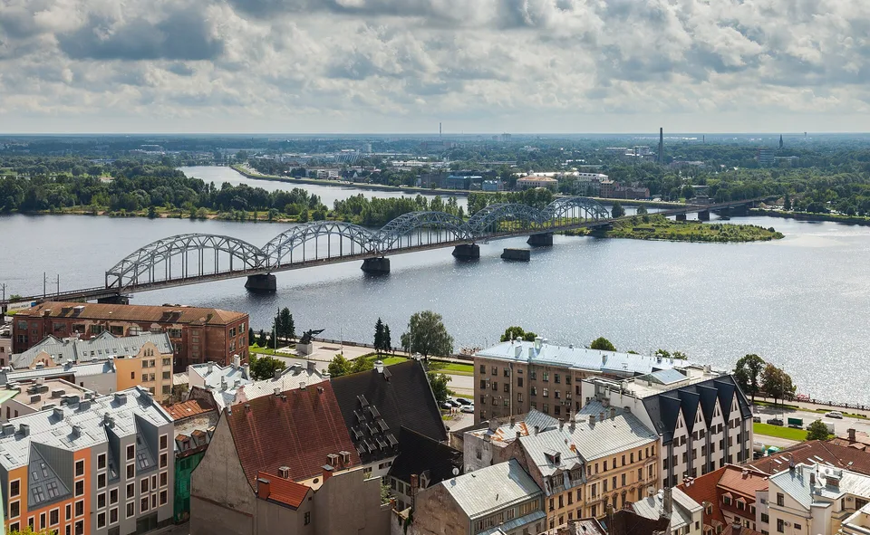
The monument also works as a transition point in a longer city walk. Head back towards the medieval lanes for a compact central day, or continue through the boulevard district towards Alberta Street when architecture is the priority. If the route crosses into the left-bank districts, use the public transport planner and plan the crossing as a separate leg.
Current gatherings or maintenance may affect the immediate surroundings. Check LiveRiga or local notices if the monument itself is central to the day's plan. For an ordinary visit, keep the route open enough to pause and read the details without obstructing other visitors.
For travellers who prefer a shorter outing, the monument and a section of canal park form a complete central walk. Extend the route when an additional museum or architecture district matches your interests.
Where it is
- 1Freedom Monument and Riga's City Canal
- Riga International Airport (RIX) · about 9 km from here in a straight line
- Directions in Google Maps
Stations and taxi ranks: OpenStreetMap. Airports: OurAirports. Distances are in a straight line.
Traveller tips
Real advice from people who have been to Riga. Every tip is read by our team before it goes live.
No tips yet. Been here? Yours could be the first.
Thank you! Your tip will appear here after a quick review.
More in Riga
Continue exploring Riga with related neighbourhood, food, and planning guides
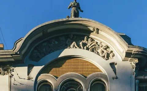
Alberta Street, Riga: Art Nouveau Facades and the Pēkšēns Museum
Riga, Latvia
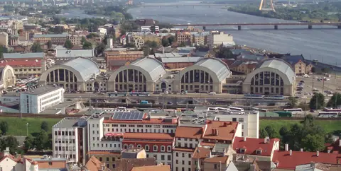
Riga Central Market and Spīķeri: Food Halls beside the Daugava
Riga, Latvia
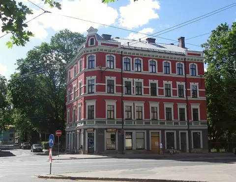
Kalnciema Quarter: Riga's Wooden Houses, Courtyard and Architecture Centre
Riga, Latvia
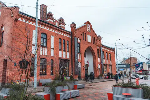
Āgenskalns, Riga: Market Hall, Wooden Streets and the Left Bank
Riga, Latvia
