


























Old Town Riga: UNESCO Streets, Market Squares and Church Towers
Explore Riga's medieval core as one part of a larger UNESCO-listed landscape, using its squares and church landmarks to orient the walk.
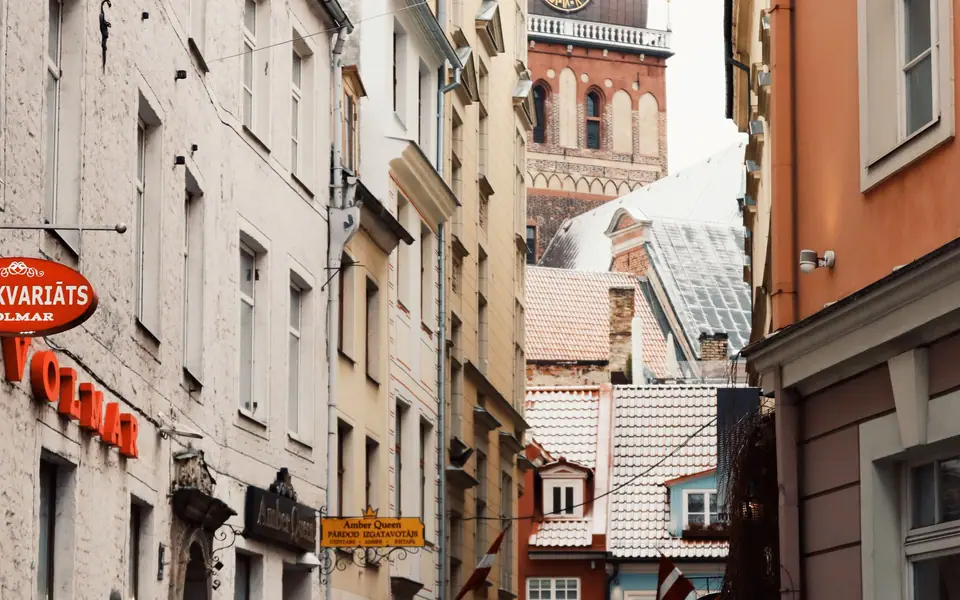
Old Town Riga is the city's most concentrated historic district, but forms one part of the UNESCO-listed Historic Centre. The wider property also includes the nineteenth-century boulevard semicircle and former suburbs with wooden architecture. Keep that distinction in mind while walking: the medieval lanes are the starting point, not a complete summary of Riga's urban history.
Begin with the shape of the medieval core
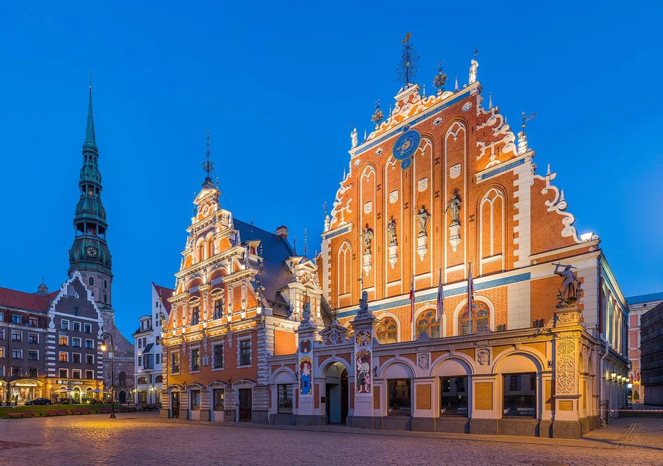
UNESCO describes Riga as a port town founded in 1201 and a Hanseatic centre from the thirteenth to fifteenth centuries. Trade helped shape the medieval townscape, although fire and war destroyed or altered many original structures. That history explains why the district feels old without every facade being medieval. Read the street network and skyline as evidence of a long-lived centre that was repeatedly rebuilt.
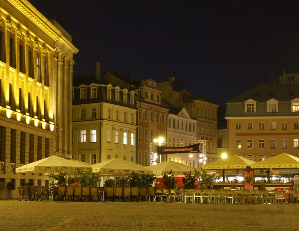
The Daugava (DOW-gah-vah) borders the old centre and gives the walk a clear edge. Start inside the lanes, then make your way towards the embankment. From there, look across to the left bank and the National Library. This view helps orient the next part of a Riga visit, especially if you plan to explore Pārdaugava.
Let squares connect the route
Use the public squares as pauses rather than trying to treat each as a separate attraction. LiveRiga and Latvia Travel identify Dome Square and the St Peter's Church area among the Old Town's notable landmarks. Their open spaces help break up the narrower lanes and offer a place to compare the surrounding facades. Check current access before planning an interior visit to a church or museum.
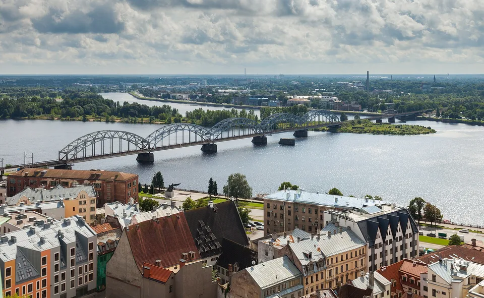
St Peter's Church is a prominent vertical landmark in the skyline and a useful orientation point. Dome Square provides another anchor in the district. The city tourism sources list both, but current access details belong to the institutions themselves. We do not state opening windows or ticket conditions here.
Walk without assuming that every lane leads to a major monument. The historic core is as much about the connection between buildings and public spaces as about a checklist of interiors. Look at how church towers punctuate the roofline, how the street scale changes around a square and where the route opens towards the river.
Use the river edge to place the city
Riga's historic skyline is easier to understand from both banks. The medieval centre stands on the right bank, and the riverfront offers views towards the opposite side. If your itinerary continues to the National Library or a left-bank market, choose a crossing and plan that as a separate segment. The route will feel more coherent than going back and forth whenever a map pin appears.
The Freedom Monument and canal route is a natural continuation away from the medieval lanes. It shows the nineteenth-century urban layer that UNESCO also recognises. For another contrast, cross to Kalnciema Quarter and its wooden architecture.
A practical walk through the district
- Choose a square as your starting point: use Dome Square or another central open space to orient yourself.
- Follow the church skyline: walk towards the St Peter's Church area and notice how the tower shapes views across the Old Town.
- Pause at the river edge: look across the Daugava before deciding whether to continue over the bridge or return through the central lanes.
- Choose one extension: continue towards the canal parks or the Central Market rather than adding both automatically.
For the market extension, the Central Market and Spīķeri guide explains their geography. The pavilions and former warehouse quarter are near the river and transport terminals, making them a useful next stop when they fit your route.
What to check before visiting a church
Churches remain active institutions as well as architectural landmarks. Access can depend on services, events, conservation or visitor arrangements. Confirm the official page for the church you want to enter. Keep photography, clothing and behaviour respectful, and use the public exterior route if the interior is unavailable.
Likewise, do not assume that every historic building is open to visitors simply because a tourism page lists it. The Old Town is a lived-in urban district. Its public streets and squares are reliably part of the walk, while interiors have their own access rules.
- Old Town / Art Nouveau quarter: The medieval core follows an older street pattern; Alberta Street belongs to later expansion.
- Public squares / church interiors: Streets remain part of the walk; check each institution for current interior access.
Allow the Old Town enough time to be more than a quick crossing between arrival and dinner. Its lanes, squares and river edge make a coherent half-day even without a scheduled interior visit. Then step beyond it to see the canal belt and wooden suburbs that complete the heritage picture.
Separate the UNESCO boundary from the Old Town label
Tourism descriptions often use “Old Town” for the historic centre in everyday conversation. UNESCO's protected property is broader. Its three landscapes are the medieval core, the nineteenth-century boulevard semicircle and City Canal green belt, and former suburbs with wooden buildings and a rectangular street pattern. Knowing this distinction helps you read heritage references accurately and explains why Alberta Street or wooden quarters appear in city-wide heritage material.
Do not assume that every building inside the listed property has the same protection, age or access rules. The UNESCO site describes an urban landscape and its outstanding values. For an individual church, museum or building, consult the managing institution or relevant heritage body.
If you have time after the squares and church towers, follow the canal to the Freedom Monument. That walk continues the UNESCO story into the boulevard landscape without requiring another transport leg. If you prefer a food stop, head towards the Central Market instead, and use the river edge to orient the route.
Travellers arriving by bus 22 can use the airport's published central stops to orient themselves near the Old City, Central Market and stations. The bus stop for the return airport service may be in a different place from the arrival stop. Check both directions before building the Old Town walk around an airport connection.
Use church interiors as optional additions rather than the backbone of the walk. Current visitor arrangements belong to each institution, while the public squares, streets and skyline remain part of the district route. This approach keeps the visit practical if an interior is unavailable.
Where it is
- 1Old Town Riga
- Riga International Airport (RIX) · about 9 km from here in a straight line
- Directions in Google Maps
Stations and taxi ranks: OpenStreetMap. Airports: OurAirports. Distances are in a straight line.
Traveller tips
Real advice from people who have been to Riga. Every tip is read by our team before it goes live.
No tips yet. Been here? Yours could be the first.
Thank you! Your tip will appear here after a quick review.
More in Riga
Continue exploring Riga with related neighbourhood, food, and planning guides
Riga: Read the City Through Its River and Three Historic Layers
Riga, Latvia
Things to Do in Riga: Choose Between the Medieval Core, Boulevards and Markets
Riga, Latvia

How to Get to Riga: Airport Bus 22, Rail and Cross-Border Coaches
Riga, Latvia
Best Time to Visit Riga: Match Outdoor Walks to Latvia's Climate
Riga, Latvia
