


























Photo: Wikimedia Commons · CC BY-SA
Riga: Read the City Through Its River and Three Historic Layers
Plan Riga by separating its medieval core, canal-side boulevard belt and former suburbs, then connect the two banks with the city's transit network.
Riga makes more sense as a sequence of urban layers than as a list of isolated monuments. The medieval centre occupies the right bank of the Daugava (DOW-gah-vah). A nineteenth-century semicircle of boulevards and green space wraps around it. Beyond that belt, former suburbs preserve both wooden buildings and later stone architecture. UNESCO includes all three landscapes in the Historic Centre of Riga property. A visit focused entirely on the cobbled lanes misses much of the city's story.
The river also changes how a practical itinerary works. The Old Town, Central Market and central transport stations sit close to one another. Across the Daugava, the National Library and Pārdaugava form a separate set of stops. Plan these as distinct clusters and use the route planner from Rīgas satiksme when a walk would cross the river or reach a distant neighbourhood. Our transport guide explains the operator's network and ticket registration.
Start with the street pattern, not a checklist
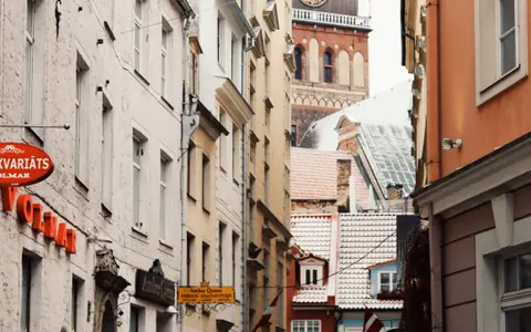
Riga was founded as a port town in 1201. Its position on Baltic trading routes helped it become a major Hanseatic centre between the thirteenth and fifteenth centuries. Fire and war mean that not every building in the medieval core dates from that period. The useful distinction is between the historic street pattern and the age of any single facade. Read our Old Town route for a walk through its squares and church landmarks.
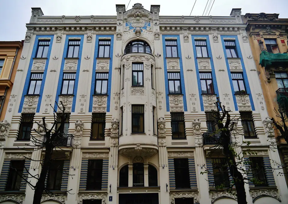
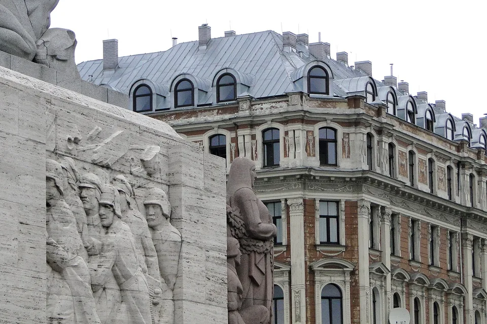
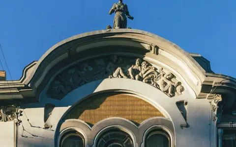
After the medieval core, follow the canal-side parks towards the Freedom Monument and the Art Nouveau streets. This sequence makes the city's expansion readable. The old centre gives way to the boulevard belt, then to residential districts shaped by nineteenth-century growth. The canal and boulevard guide explains the transition. Alberta Street deserves a slower look because the facades are the subject, rather than a corridor to hurry through.
Choose a base according to the days you have
For a short visit, staying near the historic centre reduces cross-city transfers. A central base beyond Old Town makes sense if the boulevard parks and Art Nouveau quarter are priorities. Pārdaugava works for travellers who want to include Riga's left-bank architecture and markets. Each choice changes the balance between immediate sightseeing and neighbourhood exploration. Compare them in Where to Stay in Riga, and confirm a specific address against current transport maps before booking.
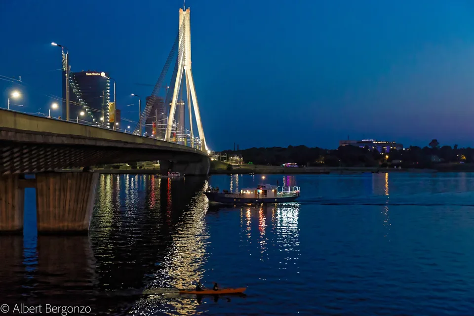
Riga is not a one-neighbourhood city. A map can make the Old Town and left bank look close. The river occupies little screen space, yet crossing it still shapes the route. The official city transport pages provide current lines, maps and timetables. Avoid building a day around an assumed tram frequency or a guessed walking time.
Three geographic moves for a new visit
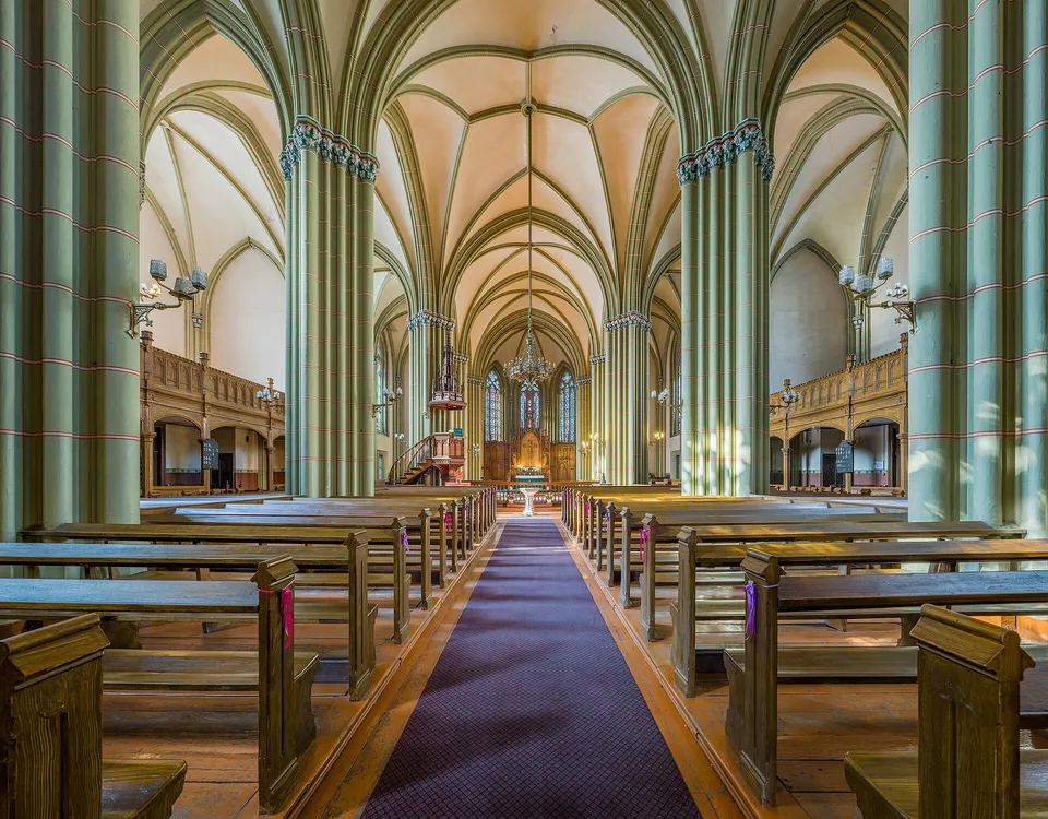
- Medieval centre and river edge: Walk the Old Town, then continue towards the Daugava embankment. Keep church interiors and museums flexible because access arrangements can change.
- Canal, monument and architecture: Follow the green belt and boulevard area towards Alberta Street. The Riga Art Nouveau Centre at Alberta iela 12 gives context for the facades through an interior and digital exhibition.
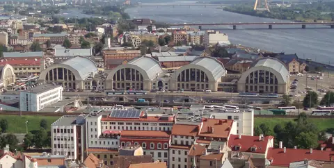
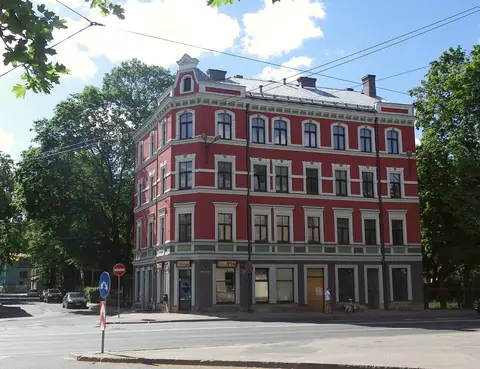
- Market and the other bank: Visit the Central Market near the railway and bus stations. On another half-day, cross to Kalnciema Quarter or Āgenskalns rather than squeezing both into the same short walk.
This order keeps each day anchored to a particular part of the city. It also leaves room for a museum visit or a longer meal without requiring every stop to fit a rigid schedule. For a detailed route, use our three-day Riga itinerary.
What the architecture can and cannot tell you
The city's listed heritage is not a single preserved period. UNESCO describes a medieval core, a nineteenth-century boulevard semicircle with a green belt beside the City Canal, and former suburban quarters with wooden architecture. The later suburbs developed as Riga industrialised and expanded. Their architectural sequence includes neoclassical wooden buildings followed by stone Art Nouveau buildings. This context helps explain why a short central visit can move between very different street scenes.
Do not assume that every wooden house is a museum or that every Art Nouveau building can be entered. Many are part of the lived-in city. Treat the public street as the viewing space, and check the official museum page when planning an interior visit. The same principle applies to markets and cultural venues: their surroundings are stable, while programmes, access and individual vendors can change.
Practical planning without invented precision
- Airport to city: Riga Airport lists bus 22 as a public transport link. The airport stop for the city-bound service is in the P1 car park, between arrivals exits C and E. Confirm the live timetable before landing.
- Across the city: Rīgas satiksme operates buses, trams and trolleybuses and publishes route maps and schedules. Follow its ticket registration instructions for every boarding.
- Outside the capital: Jūrmala's tourism office describes a rail line through fourteen stops from Priedaine to Ķemeri. Check Vivi for current departures and the chosen stop.
- Food: Latvian cuisine draws on rye, potatoes, cabbage, pork, dairy and fish. Read What to Eat in Riga before deciding which market or meal fits your route.
Seasonal weather affects how much time you want outdoors, but a general seasonal description is more useful than pretending a particular day is predictable. Latvia's climate service identifies July as Riga's warmest month in its 1991 to 2020 normals and January and February as the coldest. For current conditions, use a live forecast; for seasonal choices, see our best-time guide.
- Old Town / Pārdaugava: Keep the medieval core and left-bank architecture on separate routes because the Daugava divides their main clusters.
- Canal belt / Alberta Street: Walk these together for architecture, then use transit for the market or a left-bank visit.
Riga rewards travellers who notice how one district changes into another. Begin with the old centre, make time for the boulevard belt, and cross the Daugava with a specific left-bank destination in mind. That approach gives the city's architecture a coherent story and leaves practical room for the places that need a separate visit.
Use the same geographic logic when shifting a walk around weather or entry arrangements. A flexible plan keeps Riga readable without assuming every interior is open.
Where it is
- 1Riga
- Riga International Airport (RIX) · about 9 km from Riga in a straight line
- Directions in Google Maps
Stations and taxi ranks: OpenStreetMap. Airports: OurAirports. Distances are in a straight line.
Traveller tips
Real advice from people who have been to Riga. Every tip is read by our team before it goes live.
No tips yet. Been here? Yours could be the first.
Thank you! Your tip will appear here after a quick review.
More in Riga
Continue exploring Riga with related neighbourhood, food, and planning guides
Old Town Riga: UNESCO Streets, Market Squares and Church Towers
Riga, Latvia
Alberta Street, Riga: Art Nouveau Facades and the Pēkšēns Museum
Riga, Latvia
Riga Central Market and Spīķeri: Food Halls beside the Daugava
Riga, Latvia
Kalnciema Quarter: Riga's Wooden Houses, Courtyard and Architecture Centre
Riga, Latvia
