Toronto Harbourfront Guide
A lakeside walk along Queens Quay from the ferry docks to Sugar Beach.
Toronto's downtown sits behind a wall of expressway and rail tracks, so the lakefront can feel distant even when it is only a few minutes away. Harbourfront is the stretch where the city has reclaimed it, a long promenade along Queens Quay, former warehouses turned into cultural spaces, small parks and the departure points for harbour boats and island ferries. It is an easy walk, flat and suited to all ages, and the skyline appears from a different angle at every stop.
The route below runs from west to east and takes a leisurely two hours with stops. Start near the CN Tower and finish near the Distillery District side of town, or reverse it to end at Union Station.
- Start by the Rogers Centre. Walk south under the rail corridor, a reminder of why the lake was walled off for so long. The path leads you down to Queens Quay.
- Toronto Music Garden. A landscaped garden at the western end designed with cellist Yo-Yo Ma and inspired by Bach's first cello suite. Each section echoes a dance movement, and it makes a quiet pause.
- Queens Quay West. Follow the cycle track and promenade eastward. Look out for the public art, the green roofs and the Billy Bishop ferry terminal signs a little way off to the west.
- Harbourfront Centre. A cluster of arts venues, craft studios and open courtyards. Programmes include outdoor concerts and festivals, with an outdoor skating rink in winter. Check the official site for current schedules.
- The Power Plant. A contemporary art gallery in a former power station beside the water. Exhibitions change, so it suits visitors who like current art but not those who want a fixed attraction.
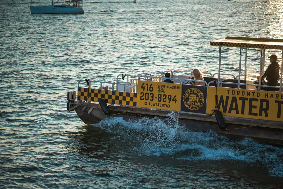
- The piers and boat docks. Sightseeing boats, sailing and tall ship style cruises depart from here in season. Sunset cruises are popular, but watch for weather and wind off the lake, which can chill the deck even in summer.
- Jack Layton Ferry Terminal. The departure point for the Toronto Islands ferries, at the foot of Bay Street. If the weather is clear and you have time, take the crossing as a short trip for the skyline photo.
- HTO Park. A small urban beach with yellow umbrellas and a grassy strip. You can sit and watch the planes at the island airport and the city behind.
- Sugar Beach. A beach park with pink umbrellas beside a working sugar refinery, a very Toronto mix of industry and leisure. The walk east ends here, and you can continue towards the Distillery District if energy remains.
Seasonal weather and timing
Summer is the busiest and most pleasant season, with outdoor festivals, patios and long evenings. Autumn gives clearer light and fewer people, while winter is cold and exposed, though the rink and heated indoor spaces still draw visitors. Wind off the lake changes the temperature quickly, so pack a layer in any season, as our what to wear guide explains. Evening is the best time for skyline lighting, but the sun sets early in winter, so shift the walk to early afternoon.
Visitor suitability and alternatives
Harbourfront is ideal as a relaxed filler after the CN Tower or the aquarium, or as an easy half day for families and older visitors. It suits people who like walking beside water, public art and people watching. It is more urban and event driven than the Islands, so choose it if you want the lake without a ferry trip. Skip the tourist restaurants with the largest signs and the waterside souvenir stands. A sit down meal is better saved for the St. Lawrence Market area, a short ride east.
Traveller tips
Real advice from people who have been to Toronto Harbourfront. Every tip is read by our team before it goes live.
No tips yet. Been here? Yours could be the first.
Thank you! Your tip will appear here after a quick review.
More in Toronto
Continue exploring Toronto with related neighbourhood, food, and planning guides