


























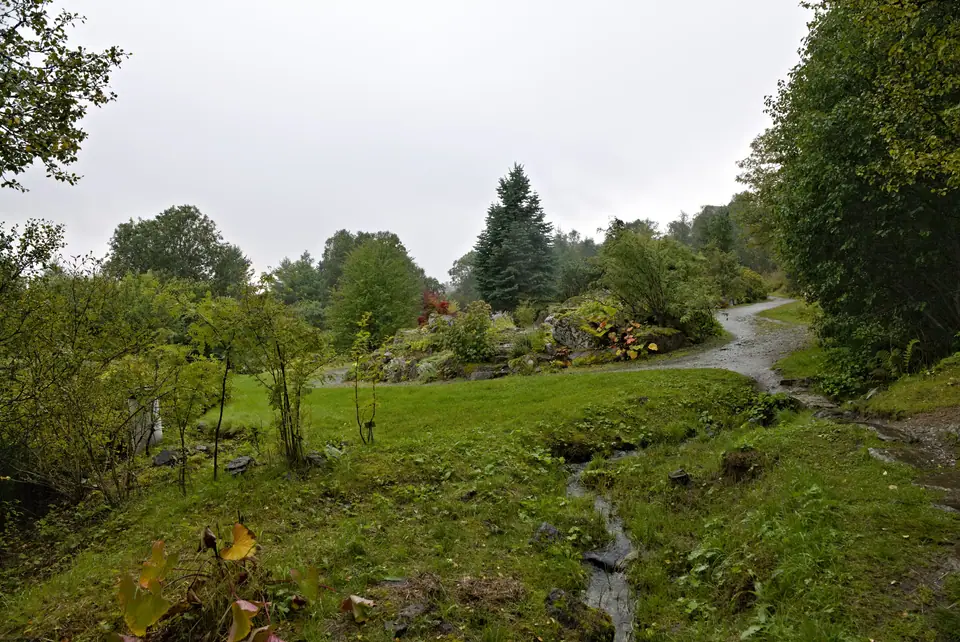
Arctic-Alpine Botanic Garden, Prestvannet and Telegrafbukta Guide
Across Tromsøya island, three free outdoor green spaces showcase high-latitude nature: the 1994 Arctic-Alpine Botanic Garden at Breivika, the 1867 reservoir lake Prestvannet, and the beach park of Telegrafbukta.
Beyond its timber streets and museums, Tromsøya preserves three free public parks open 24 hours a day year-round. In the northeast at Breivika, the Arctic-Alpine Botanic Garden cultivates mountain and polar plants from every continent at almost 70 degrees north. Along the central ridge of the island at 96 metres elevation lies Lake Prestvannet, a nineteenth-century reservoir turned bird sanctuary and winter skating and aurora lake. At the southwestern tip of Tromsøya near the Arctic University Museum stretches the sandy cove and lawn of Telegrafbukta. Together they offer easy nature walks accessible by Tromsø city buses in 10 to 15 minutes from Storgata.
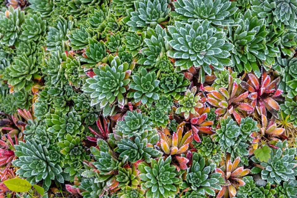
The Arctic-Alpine Botanic Garden (Opened July 1994)
Located southeast of the University of Tromsø campus at Breivika with views across the Tromsøysundet strait toward the Tromsdalstinden massif, the Arctic-Alpine Botanic Garden (Tromsø arktisk-alpine botaniske hage) opened in July 1994 as the world's northernmost botanic garden. Managed by the Arctic University Museum of Norway across an 18-dekar (1.8-hectare) landscaped terrain of tilted granite boulders and streams, the garden has no fence, gate, or entrance fee. Because snow blankets the ground from October or November until mid-May while the midnight sun provides roughly 200 hours of actual sunshine per month in May, June, and July, the flowering season runs from late May to mid-October. Special collections include Himalayan blue poppies (Meconopsis), Lapland rhododendrons (Rhododendron lapponicum), gentians, primulas, Arctic poppies, and saxifrages (Saxifraga), featured by British horticulturist Monty Don in the 2008 BBC series Around the World in 80 Gardens.
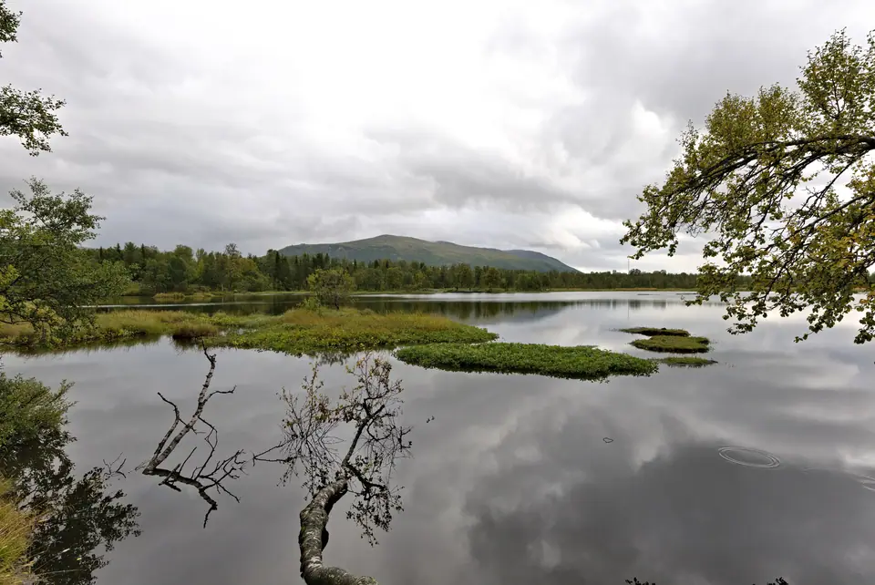
Lake Prestvannet: 1867 Reservoir, Floating Peat Islands and Crucian Carp
Sitting atop the central spine of Tromsøya at 96 metres above sea level and covering approximately 75 dekar (7.5 hectares) with a maximum depth of 4 metres, Lake Prestvannet (Northern Sami: Báhpajávri) was dammed in 1867 to supply drinking water to the town below. Retired as a reservoir in 1921, Prestvannet is now a nature reserve circled by a 2-kilometre lit walking track. Floating peat islands provide protected summer nesting sites for red-throated loons (smålom), tufted ducks, mallards, black-headed gulls, and Arctic terns (parts of the shore are closed during the May to July nesting season). When winter ice seals the shallow lake and depletes oxygen, the introduced crucian carp (karuss) survives buried in the bottom mud by producing alcohol in its bloodstream to lower its freezing point.
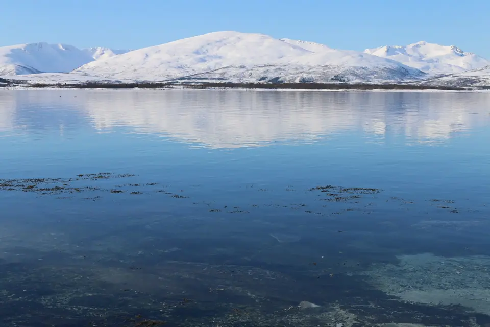
Telegrafbukta: Southwestern Beach Park and Buktafestivalen
At the southwestern tip of Tromsøya, a short walk from Folkeparken and the University Museum, Telegrafbukta ("Telegraph Bay") curves around a sheltered sandy beach and grassy headland facing the Kvaløysundet and Balsfjorden waters. Ironically nicknamed "Tromsø's Gran Canaria" by locals when summer water temperatures occasionally reach double digits Celsius, the park features barbecue pits, walking paths, and open southern and western horizons ideal for watching both the midnight sun and the winter aurora borealis. Every July Telegrafbukta hosts the open-air Bukta Tromsø Open Air Festival (Buktafestivalen), drawing around 16,000 attendees.
How Alpine Plants Thrive at Nearly 70 Degrees North
On an initial look, cultivating fragile mountain flora nearly 350 kilometres north of the Arctic Circle seems improbable, yet the geographic setting of the Arctic-Alpine Botanic Garden at Breivika provides ideal growing conditions for cold-climate species from across the globe. Thick winter snow cover insulates perennial roots and bulbs against severe frost from autumn until May, and once the snow melts in late spring, the continuous twenty-four-hour daylight of the midnight sun fuels rapid photosynthesis and intense flower pigment development despite cool daytime air temperatures.
Instead of flat formal flowerbeds, botanists arranged the 1.8-hectare hillside into naturalistic granite rockeries, scree slopes, stream beds, and peat bogs separated by geographic region and habitat. Winding gravel paths lead visitors past collections from the Himalayas, Patagonia, the Rocky Mountains, the European Alps, the Caucasus, and the high Arctic islands of Svalbard, with small plant labels marking rare cushion saxifrages, bright blue gentians, yellow Arctic poppies, and tall cobalt-blue Meconopsis blooms against the backdrop of snow-streaked Tromsdalstinden across the strait.
Rising along the forested spine of Tromsøya at 96 metres above sea level, Lake Prestvannet offers a quiet green refuge reachable on foot up the hillside from Storgata or via city bus routes stopping along the island ridge. After the earthen dams raised in 1867 were retired from municipal drinking-water service in 1921, birch woods, willow thickets, and marsh vegetation reclaimed the shoreline, turning the shallow 7.5-hectare basin into a vital urban wetland and bird sanctuary.
A wide, level 2-kilometre gravel path with overhead lamp posts circles the entire perimeter of the lake, making it an easy year-round circuit for walkers, joggers, and parents pushing prams. From May to July, floating islands of detached peat moss drift across the water and provide safe, predator-free nesting platforms for red-throated loons, tufted ducks, and Arctic terns, while wooden information boards along the shore explain both the birdlife and the remarkable winter physiology of the lake's crucian carp. In winter, when ice locks the lake under snow, groomed cross-country ski trails branch off the perimeter loop northward along the island crest.
At the southwestern tip of Tromsøya, the grassy lawns and pale sand coves of Telegrafbukta look straight out across the meeting of Kvaløysundet and Balsfjorden toward the mountains of Kvaløya and the Malangshalvøya peninsula. Sheltered from north winds by the wooded slopes of Folkeparken, the shoreline park warms quickly on sunny summer afternoons, drawing university students and families to its stone barbecue rings, picnic tables, and walking trails along the rocky headlands.
Because Telegrafbukta faces south and west away from the dense street lighting of the commercial harbour, its shoreline paths also serve as a convenient on-island spot for watching the aurora borealis on clear autumn and winter evenings. You can easily combine a morning walk through the flowering rockeries at Breivika with a midday loop around Lake Prestvannet and an afternoon bus ride to the Arctic University Museum beside Telegrafbukta; check seasonal weather notes in the best time to visit Tromsø guide. Adjacent to Telegrafbukta, the wooded trails of Folkeparken pass historic rural timber buildings brought from across Troms county, creating a peaceful coastal promenade back toward the southern neighbourhoods of the island.
Traveller tips
Real advice from people who have been to Arctic-Alpine Botanic Garden, Prestvannet and Telegrafbukta. Every tip is read by our team before it goes live.
No tips yet. Been here? Yours could be the first.
Thank you! Your tip will appear here after a quick review.
More in Tromsø
Continue exploring Tromsø with related neighbourhood, food, and planning guides
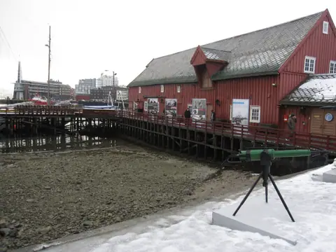
Polar Museum (Polarmuseet), Skansen and Roald Amundsen Guide
Tromsø, Norway
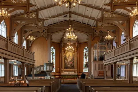
Storgata, Tromsø Cathedral, Our Lady Church and Mack Brewery
Tromsø, Norway
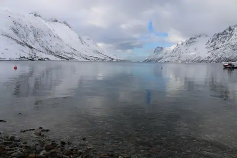
Kvaløya Island, Ersfjordbotn, Sommarøy and Lyngen Alps Day Trips
Tromsø, Norway

What to Eat in Tromsø: Arctic Cod, Reindeer, Biđus and Mack Beer
Tromsø, Norway
