


























Tromsø: Island Layout, Arctic Climate and Essentials
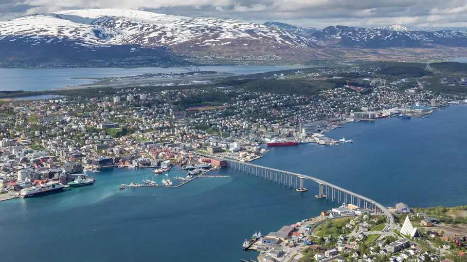
Situated on the 22-square-kilometre island of Tromsøya at nearly 70 degrees north, Tromsø combines an eighteenth- and nineteenth-century wooden city centre with bridge connections to Tromsdalen and mountainous Kvaløya.
Occupying the 10-kilometre-long, 22-square-kilometre island of Tromsøya at nearly 70 degrees north latitude, Tromsø stands almost 350 kilometres north of the Arctic Circle as the administrative centre of Troms county and the largest urban settlement in Northern Norway. Although a medieval church stood at the harbourside rampart of Skansen around 1252 under King Haakon IV Haakonsson, Tromsø received its royal kjøpstad town charter from King Christian VII on 20 June 1794, when only around 80 residents lived on the island. Over the nineteenth century, Arctic sealing, the 1834 bishopric, and the 1872 Tromsø Museum turned the port into the hub nicknamed the Paris of the North. Compare the sight overview in the things to do in Tromsø guide and arrival options in the how to get to Tromsø guide.
Three-Part Geography: Tromsøya, Tromsdalen and Kvaløya
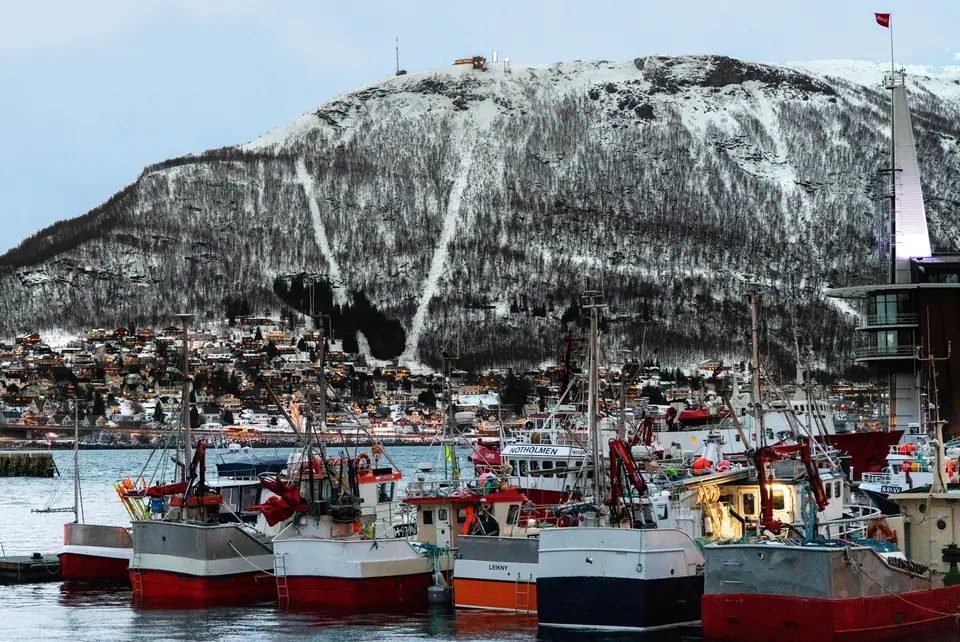
The city spreads across three connected landmasses separated by narrow marine straits. At the centre lies Tromsøya, a low-lying island rising to 159 metres at Varden in the north and cradling Lake Prestvannet at 96 metres elevation in its wooded interior. The historic wooden downtown, museums, Prostneset ferry and bus terminal, the University of Tromsø campus at Breivika, and Tromsø Airport at Langnes all sit on Tromsøya. East across the Tromsøysundet strait lies the mainland valley of Tromsdalen beneath the 1,238-metre peak of Tromsdalstinden, linked by the 1,036-metre cantilever Tromsø Bridge (opened in 1960) and the 3,500-metre undersea Tromsøysund Tunnel (opened in 1994). West across the Sandnessundet strait rises the 737-square-kilometre island of Kvaløya, connected by the 1,220-metre Sandnessund Bridge (opened in 1974); read the Kvaløya, Sommarøy and Lyngen Alps guide for western fjord routes.
Gulf Stream Climate, Midnight Sun and Polar Night
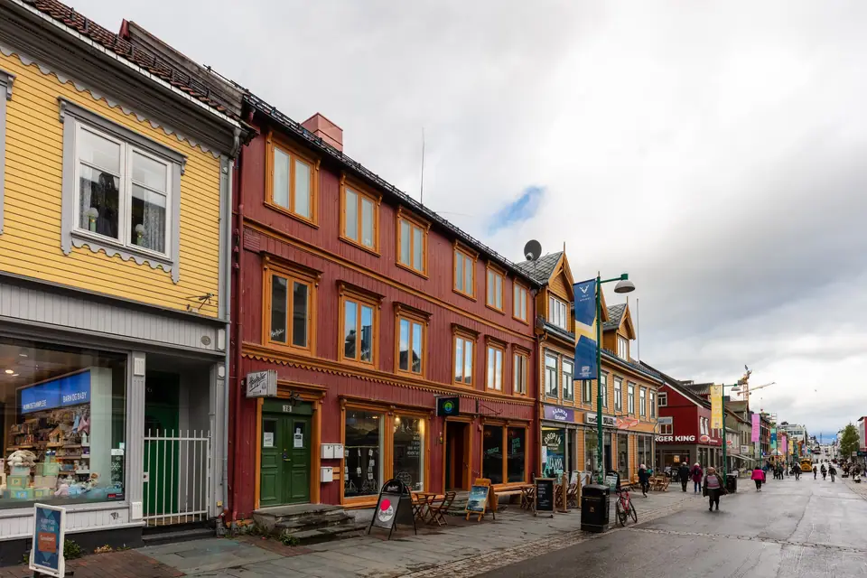
Warmed by the North Atlantic Current, Tromsø records a mean January air temperature roughly 24 °C warmer than the latitudinal average. At the Norwegian Meteorological Institute station at Vervarslinga (100 metres elevation), 1991 to 2020 normals show a January mean of -3.0 °C (daily high -1.0 °C, low -5.3 °C), a February mean of -3.3 °C (high -1.2 °C, low -5.6 °C), and a July mean of 12.3 °C (daily high 16.3 °C, low 9.0 °C). Annual precipitation totals 1,090.6 millimetres across 160.1 days with at least 1.0 millimetre, and snow depth reached a record 240 centimetres on 29 April 1997. The midnight sun stays above the horizon from 18 May to 25 July, whereas the polar night runs from 26 November to 15 January; see the best time to visit Tromsø guide.
Walking the Wooden Core and Underground Tunnels
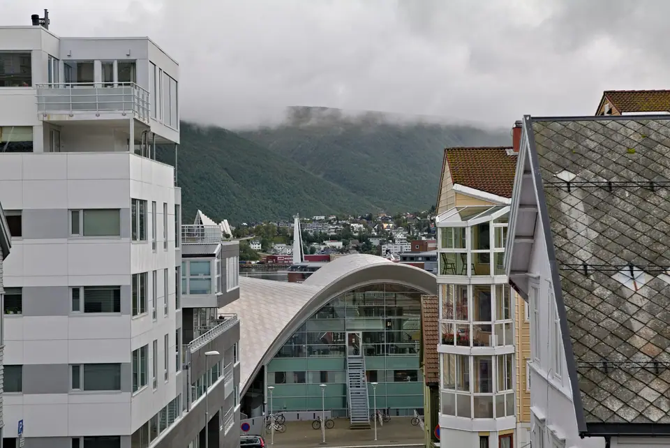
Tromsø preserves the largest concentration of historic wooden buildings in Northern Norway, as the city avoided major nineteenth-century fires and Second World War destruction before a 1904 brick-building mandate took effect after the Ålesund fire. Along Storgata, Sjøgata and Skansen, two-storey Empire-style merchant houses from the 1820s and 1830s stand near the glass-walled Tromsø Library (built in 1973 by Gunnar Bøgeberg Haugen as the Fokus cinema and converted in 2005). Beneath the island, the Sentrumstangenten (1,620 metres, opened 1999) and Langnestunnelen (1,210 metres, opened 1988) rock tunnels link Langnes and the harbour.
Etymology of Tromsøya, Romsa and Trums
The municipal name derives from the island of Tromsøya, where the final element reflects the Norwegian word for island and the initial root links to the Old Norse form Trums, associated with coastal rivers and straits marked by strong tidal currents running through the narrow sounds. In Northern Sámi, the settlement is called Romsa, while its genitive form Romssa appears in official bilingual signage alongside the Finnish spelling Tromssa. Across the harbour and university districts, street signs, museum plaques, and public institutions reflect this layered Norse, Sámi, and Kven linguistic heritage across the wider Troms region.
Archaeological excavations at Tønsvika on the mainland shore north of the island have uncovered postholes, hearths, and stone tools showing continuous coastal habitation since the retreat of the glacial ice sheet. During the Viking Age and early Middle Ages, Norse chieftains and Sámi fishing and hunting communities shared the fjords around Malangen and Kvaløya, leaving behind iron weapons, domestic utensils, and silver hoard artefacts near Langnes and along the southern shores of the archipelago before the royal parish church and turf rampart were raised beside the strait to anchor royal and ecclesiastical authority along the northern frontier.
From Pomor Trade and Russenorsk to Modern Polar Science
Following the abolition of Bergen's long-standing trading monopoly and the granting of the royal town charter, the harbour expanded rapidly through commerce with Russian Pomor merchants sailing from the White Sea port of Arkhangelsk. Throughout the nineteenth century, vessels bartered northern Norwegian dried fish for Russian rye flour and timber along the wharves, giving rise to the seasonal pidgin trade language known as Russenorsk. At the same time, the relocation of the regional bishopric and the teacher training seminary to the island brought schools, printing presses, and European textile imports that surprised visiting travellers with the refined manners and wooden townscape of the port.
When Arctic sealing sloops and international scientific expeditions began using the harbour to hire experienced ice pilots, winter trappers, and dog handlers, the municipality developed a lasting network of meteorological, geophysical, and marine research bodies. Today that legacy continues through the university faculties at Breivika, the polar research institutes clustered beside the southern waterfront, and the cultural festivals that fill the streets and concert halls throughout the year, making the island both a working administrative capital and a practical base for exploring the surrounding fjords, peaks, and outer islands.
Practical Orientation for Walking and Local Buses
For visitors arriving in any season, the eastern shoreline of Tromsøya acts as the natural reference line for navigation. The main pedestrian street of Storgata runs parallel to the harbour quays of Sjøgata and Kaigata, while cross streets climb westward up the gentle hillside toward Grønnegata, Vestregata, and the birch-ringed basin of Lake Prestvannet on the island spine. Because the central historic district spans roughly a kilometre and a half from the northern ramparts of Skansen to the southern aquarium quarter at Framsenteret, nearly all downtown museums, cathedrals, bakeries, and harbourfront piers can be linked on foot in under half an hour.
When heading further afield to the botanical collections at Breivika, the folk park and university museum near the southwestern cove, or the cable car station across the water in Tromsdalen, bright municipal buses stop along the central transit corridors and accept contactless bank cards or tickets bought in the regional transport app. Between late autumn and mid-spring, compacted snow and coastal freeze-thaw cycles often glaze the sloping cross streets in sheet ice, so slipping removable metal traction cleats over waterproof winter boots makes everyday sightseeing across the wooden centre far steadier and more comfortable.
Traveller tips
Real advice from people who have been to Tromsø: Island Layout, Arctic Climate and Essentials. Every tip is read by our team before it goes live.
No tips yet. Been here? Yours could be the first.
Thank you! Your tip will appear here after a quick review.
More in Tromsø
Continue exploring Tromsø with related neighbourhood, food, and planning guides
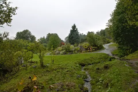
Arctic-Alpine Botanic Garden, Prestvannet and Telegrafbukta Guide
Tromsø, Norway
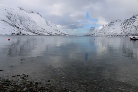
Kvaløya Island, Ersfjordbotn, Sommarøy and Lyngen Alps Day Trips
Tromsø, Norway
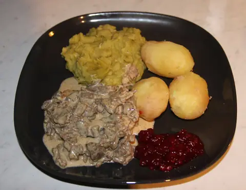
What to Eat in Tromsø: Arctic Cod, Reindeer, Biđus and Mack Beer
Tromsø, Norway
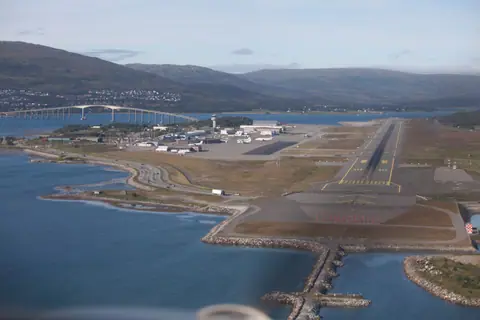
How to Get to Tromsø: Langnes Airport, Hurtigruten and Buses
Tromsø, Norway
