


























Kvaløya Island, Ersfjordbotn, Sommarøy and Lyngen Alps Day Trips
Within an hour's drive of central Tromsø, the 1,220-metre Sandnessund Bridge leads west across 737-square-kilometre Kvaløya to Ersfjordbotn and Sommarøy, while ferry routes east reach the glacier-carved Lyngen Alps.
The steep granite peaks, narrow fjords, and white coral-sand beaches around Tromsø begin just outside Tromsøya island. To the west, the 1,220-metre Sandnessund Bridge carries County Road 862 onto Kvaløya ("Whale Island"), leading in 20 minutes to the fjord head of Ersfjordbotn and in 50 minutes to the outer fishing archipelago of Sommarøy. To the east, Route 91 and the Breivikeidet to Svensby car ferry cross Ullsfjorden to the Lyngen Peninsula and the glaciated summits of the Lyngen Alps. For bus and ferry connections from Prostneset, check the how to get to Tromsø guide, or combine a western drive with day three of the Tromsø 3-day itinerary.
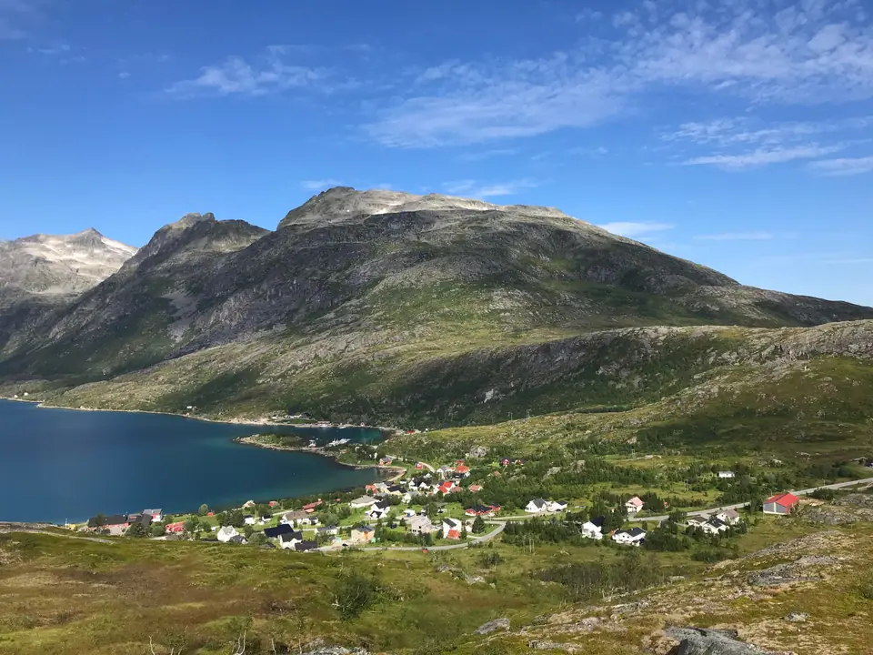
Kvaløya (737 km²) and Store Blåmann (1,044 m)
Covering 737 square kilometres (Northern Sami: Sállir), Kvaløya is the fifth-largest island in mainland Norway and is home to roughly 13,000 residents, mostly concentrated around Kvaløysletta at the western end of the Sandnessund Bridge. Deep fjords (Kaldfjorden, Ersfjorden, and Kattfjorden) nearly sever the island into three sections, while at least ten summits exceed 700 metres and three rise above 1,000 metres, topped by Store Blåmann ("Big Blue Man") at 1,044 metres above sea level.
Ersfjordbotn Fjord Village and Straumhella
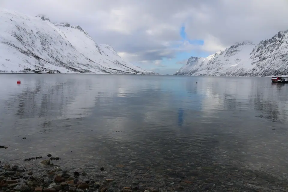
Just 15 kilometres west of Tromsø on the narrow isthmus between Kaldfjorden and Ersfjorden sits the village of Ersfjordbotn (population 484 in 2023), where granite peaks rise straight out of the water and winter visitors gather for aurora borealis photography. On the southern coast of Kvaløya 30 kilometres from Tromsø, Straumhella overlooks the Rystraumen tidal current in Straumsfjorden.
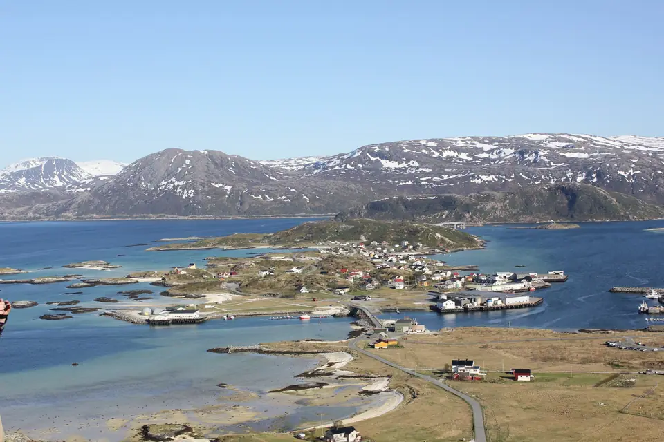
Sommarøy and Hillesøya (36 km West): White-Sand Islands
At the southwestern tip of Kvaløya, 36 kilometres west of Tromsø along County Road 862, the single-lane Sommarøy Bridge crosses a turquoise sound dotted with white carbonate sand beaches to the fishing village of Sommarøy (population 317 in 2025), which spans Store Sommarøya and Hillesøya. Medieval churches stood on Hillesøya until the late 1800s, and around 1900 the fishing hub shifted to Store Sommarøya. Sommarøy records Tromsø municipality's mildest winter temperatures (a January 24-hour average of -1.9 °C and July average of 11.9 °C) and experiences 69 days of midnight sun from 18 May to 26 July, inspiring Innovation Norway's 2019 "time-free zone" campaign.
The Lyngen Alps (Lyngsalpan): 140 Glaciers and Jiehkkevárri (1,833 m)
East of Tromsø across Ullsfjorden, the Lyngen Alps run for at least 90 kilometres north to south with a width of 15 to 20 kilometres. Protected since 20 February 2004 within the 961.2-square-kilometre Lyngen Alps Landscape Reserve, the gabbro range holds 140 glaciers covering roughly 141 square kilometres and culminates in Jiehkkevárri at 1,833 metres, the highest mountain in Troms county, first climbed by William Cecil Slingsby.
Hiking to the Turquoise Glacial Lake Blåvatnet
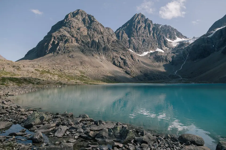
From Tromsø, travellers take Route 91 and the Breivikeidet to Svensby ferry to hike the 4-kilometre boulder trail through the Strupskardet valley to Blåvatnet ("Blue Lake"), a proglacial lake below the Lenangsbreene glaciers whose suspended glacial flour (clay 2 to 4 microns and silt 4 to 65 microns in diameter) refracts sunlight into an intense turquoise.
What makes day trips from Tromsø so rewarding is how abruptly the landscape shifts once you cross the bridges leaving Tromsøya. Within a short drive of leaving the wooden streets of Storgata, suburban houses give way to deep glacial fjords, steep granite walls rising straight out of tidewater, and open coastal archipelagos where white shell-sand beaches meet turquoise shallows. Travellers who rent a car for independent stops at roadside pull-outs, ride regional Troms Fylkestrafikk buses, or join a small-group coastal minibus can explore both the western islands and the eastern alpine peninsulas comfortably within a single daylight window.
On Kvaløya, the three deep fjords of Kaldfjorden, Ersfjorden, and Kattfjorden carve the 737-square-kilometre landmass into dramatic peninsulas connected by narrow valleys. Along the shores of Kaldfjorden and Ersfjorden, winter herring migrations historically drew humpback whales and orcas into the sheltered waters, while year-round residents include white-tailed sea eagles wheeling above the cliffs and semi-domesticated reindeer grazing regularly beside the secondary roads and garden fences of Kvaløysletta and Ersfjordbotn.
Driving the Scenic Route Through Kattfjorden to Sommarøy
From the head of Ersfjorden at Ersfjordbotn (15 kilometres west of Tromsø), County Road 862 climbs over the mountain pass of Kattfjordeidet beneath the crags of Store Blåmann (1,044 metres) and follows the winding shoreline of Nordfjord and Sørfjord out toward the open Norwegian Sea. At the western mouth of the fjord, the road crosses the narrow single-lane Sommarøy Bridge (regulated by traffic lights) onto the low-lying islands of Store Sommarøya and Hillesøya, located 36 kilometres from central Tromsø.
Walking across the white coral and shell beaches of Sommarøy and climbing the short path up the coastal hill on Hillesøya rewards visitors with wide views south toward the jagged dinosaur-back peaks of northern Senja and out across a scatter of rocky islets and skerries. At Låvhaugen on Sommarøy, a preserved 1890 fisherman-farmer homestead and coastal museum illustrates how outer-island families combined winter cod fishing with small-scale livestock keeping before modern road bridges connected the archipelago to Tromsøya.
Crossing Ullsfjorden to the Lyngen Alps and Blåvatnet
While Kvaløya showcases outer-island beaches and granite fjord heads to the west, heading east along Route 91 through Breivikeidet leads to the roll-on/roll-off car ferry across Ullsfjorden to Svensby at the foot of the Lyngen Alps. Stretching 90 kilometres from north to south and rising to 1,833 metres at the glaciated summit of Jiehkkevárri, the steep gabbro peaks of the Lyngen peninsula attract ski mountaineers in spring and alpine hikers from late June through September.
A rewarding summer walk in the range starts north of Svensby near Sør-Lenangsbotn, where a 4-kilometre trail crosses rocky moraine boulders through the Strupskardet valley to the shore of Blåvatnet. Fed by meltwater streams carrying fine rock flour from the hanging Lenangsbreene glaciers above, the lake glows a vivid opaque turquoise whenever summer sunlight hits the water; review seasonal road and trail conditions in the best time to visit Tromsø guide before setting out, and pack sturdy ankle-supporting hiking boots, a windproof layer, and drinking water for the boulder field approach, as there are no shops or cafés along the trailhead road.
Traveller tips
Real advice from people who have been to Kvaløya Island, Ersfjordbotn, Sommarøy and Lyngen Alps Day Trips. Every tip is read by our team before it goes live.
No tips yet. Been here? Yours could be the first.
Thank you! Your tip will appear here after a quick review.
More in Tromsø
Continue exploring Tromsø with related neighbourhood, food, and planning guides
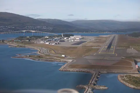
How to Get to Tromsø: Langnes Airport, Hurtigruten and Buses
Tromsø, Norway
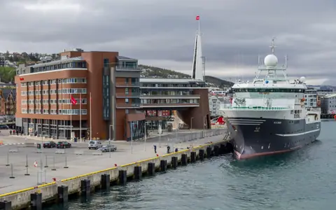
Where to Stay in Tromsø: Best Areas from Storgata to Sommarøy
Tromsø, Norway
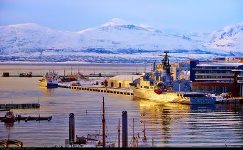
Best Time to Visit Tromsø: Aurora Season, Midnight Sun and Climate
Tromsø, Norway
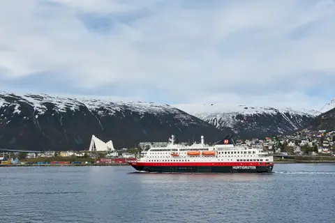
Tromsø 3-Day Itinerary: Wooden Centre, Fjellheisen and Kvaløya
Tromsø, Norway
