

Valencia Orientation: Ciutat Vella, the 9 km Turia Gardens, City of Arts and Sciences & Bilingual Valencian Signs
Understand how Valencia is organised around the walled Ciutat Vella, the 9-kilometre sunken Turia Gardens created after the 1957 flood, the City of Arts and Sciences, and the Mediterranean coast.
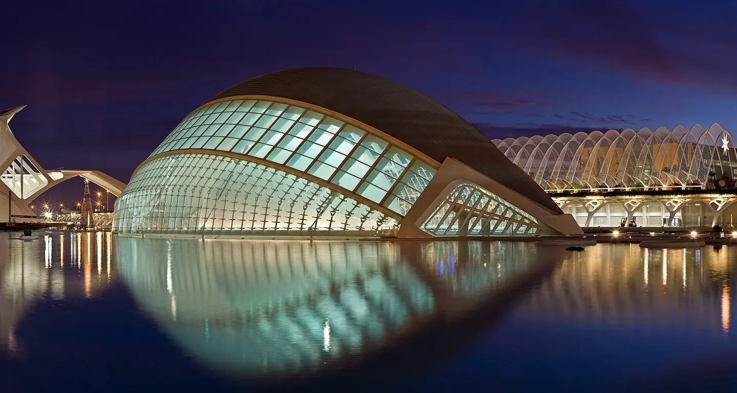
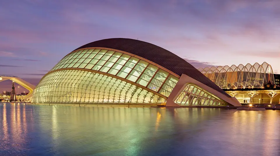
Visitors arriving in Valencia from Madrid or Barcelona quickly notice how flat and sunlit Spain's third-largest city feels. Roman soldiers founded Valentia Edetanorum in 138 BCE on a low river island four kilometres west of the Mediterranean Sea. Today the urban map is anchored by two unmistakable geographical features. At the centre sits the oval historic core of Ciutat Vella, enclosed until 1865 by its medieval stone ramparts. Curving around its northern and eastern flanks stretches the 9-kilometre Jardín del Turia. That sunken botanical park leads southeast to Santiago Calatrava's white-tiled cultural complex and the coastal beaches of Poblats Marítims.
Why a 9-kilometre sunken garden curves around the Old Town
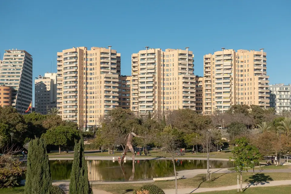
Every map of Valencia is defined by the broad green ribbon of the Jardín del Turia. For two millennia, the Turia River flowed directly past the northern walls of the historic city. Fifteenth- and sixteenth-century stone bridges built by the civic board of Fàbrica de Murs i Valls linked the two banks. On 14 October 1957, torrential autumn storms unleashed the catastrophic Great Flood of Valencia (Gran Riada de Valencia). Two rapid floodwaves peaked at 3,700 cubic metres per second across the plain. Floodwaters submerged the historic centre under five metres of mud and claimed at least 81 lives.
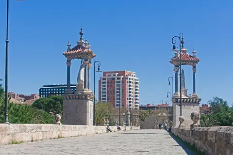
In response, national engineers excavated a new flood-relief channel south of the city under the Plan Sur between 1958 and 1969. Planners initially proposed paving the dry ten-kilometre inner riverbed into an urban motorway linking Madrid to the port. Throughout the 1970s, citizens rallied under the slogan El llit del Túria és nostre i el volem verd. That Valencian motto means "The Turia riverbed is ours and we want it green." Beginning in 1986 under architect Ricardo Bofill, the dry channel became a 110-hectare car-free park spanned by 18 bridges. Keeping that green arc in mind divides Valencia into five clear sightseeing zones:
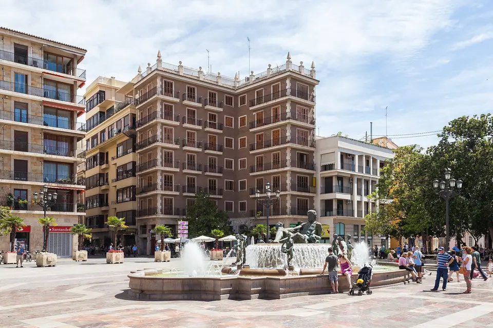
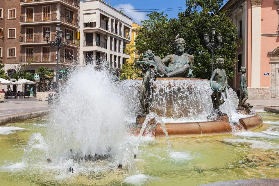
- Ciutat Vella (The Historic Walled Core). Measuring roughly 1.5 kilometres across, the Old Town occupies the footprint of Roman Valentia and Islamic Balansiya. King Peter IV of Aragon enclosed its expanded perimeter inside a four-kilometre Christian stone wall beginning in 1356. Although municipal crews demolished the wall in 1865, two monumental Gothic fortress gates still stand guard. The 1392 Torres de Serranos anchors the northern edge while the 1441 Torres de Quart guards the western approach. Inside sit Valencia Cathedral, El Miguelete, and Plaza de la Virgen. Steps away rise the UNESCO La Lonja de la Seda and 1928 Mercado Central, plus the lanes of El Carmen.
- Eixample, Ruzafa, and Gran Via. Directly south of the Old Town and the 1917 Estació del Nord stretches the late-nineteenth-century grid of Eixample. Its eastern half centres on the 1916 Valencian Art Nouveau Mercado de Colón and tree-lined Gran Via Marqués del Turia. Its western half is Ruzafa (pronounced roo-SAH-fah, from the ninth-century Umayyad royal garden al-Rusafa), now the city's liveliest dining quarter.
- Jardín del Turia and the City of Arts and Sciences. Following the sunken riverbed southeast takes you past the 1987 Palau de la Música and Gulliver Park. At the eastern mouth rises the City of Arts and Sciences and Oceanogràfic, inaugurated between 1998 and 2009.
- Poblats Marítims (El Cabanyal, Marina & Malvarrosa Beach). Four kilometres east of the Old Town, coastal trams reach the tile-clad fishermen's houses of El Cabanyal, Marina de Valencia, and Malvarrosa Beach.
- L'Horta and Albufera Natural Park. Surrounding the urban core lies the historic irrigated agricultural plain of L'Horta de València. Tiger-nut fields grow in Alboraya to the north, while the 21,120-hectare Albufera Natural Park lagoon lies 10 kilometres south.
Decoding bilingual Valencian and Castilian Spanish street signs
The Valencian Community is officially bilingual in Valencian (Valencià) and Castilian Spanish (Castellano). Blue street plaques, Metrovalencia platform signs, and municipal museum boards usually display Valencian spellings. National rail timetables and airline screens often use Castilian names. Memorising these six core pairs keeps navigation effortless across your trip:
- Ciutat Vella / Ciudad Vieja: The historic walled city centre encompassing El Carmen, La Seu, El Mercat, and Sant Francesc.
- Ciutat de les Arts i les Ciències / Ciudad de las Artes y las Ciencias: Santiago Calatrava's futuristic white cultural complex in the Turia riverbed.
- Llotja de la Seda / Lonja de la Seda: The 1482 to 1548 UNESCO Gothic Silk Exchange (pronounced YOT-chah deh lah SEH-dah) on Plaza del Mercado.
- El Micalet / El Miguelete: The 207-step octagonal Gothic bell tower (pronounced mee-kah-LET or mee-geh-LEH-teh) of Valencia Cathedral (La Seu).
- Estació del Nord / Estación del Norte: The 1917 Modernista commuter rail terminal, distinct from València Joaquín Sorolla (the high-speed AVE station 800 metres south).
- Platja de la Malva-rosa / Playa de la Malvarrosa: The wide urban Mediterranean beach north of Marina de Valencia and El Cabanyal (kah-bahn-YAHL).
Practical rules: the two-station rail split, meal hours, and the Valencia Tourist Card
Before planning your 3-day Valencia itinerary and choosing where to stay in Valencia, note three local logistics. First, double-check which railway station appears on your train ticket. Regional and commuter Cercanías lines use Estació del Nord beside the 1859 bullring. All high-speed AVE, Ouigo, and Iryo trains to Madrid, Barcelona, and Seville depart from València Joaquín Sorolla 800 metres south. Second, authentic Valencian paella is strictly a midday dish eaten between 13:30 and 15:30, while dinner starts after 20:30. Third, Spain uses the Euro (EUR) and Type C and F sockets (230V, 50Hz), and municipal museums close on Mondays. The 24-, 48-, or 72-hour Valencia Tourist Card includes unlimited EMT buses and Metrovalencia trains (including Zone AB+ to Manises Airport). It also covers municipal monuments; check the official Visit Valencia portal for current pass details.
Traveller tips
Real advice from people who have been to Valencia. Every tip is read by our team before it goes live.
No tips yet. Been here? Yours could be the first.
Thank you! Your tip will appear here after a quick review.
More in Valencia
Continue exploring Valencia with related neighbourhood, food, and planning guides
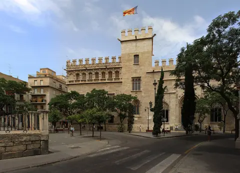
UNESCO La Lonja de la Seda (Silk Exchange), 1928 Mercado Central & Church of Santos Juanes Walk
Valencia, Spain
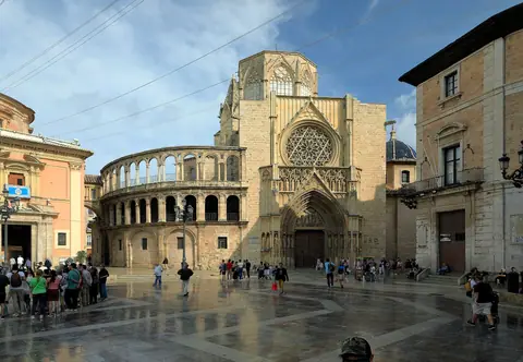
Valencia Cathedral, Holy Chalice Chapel, 207-Step Miguelete Bell Tower, Plaza de la Virgen & Almoina Ruins
Valencia, Spain
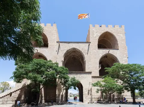
El Carmen Quarter, 1392 Serranos Towers, 1441 Quart Towers, Portal de la Valldigna & Street Art Walk
Valencia, Spain
Jardín del Turia Route: Walking & Cycling the 9 km Former Riverbed from Bioparc to Gulliver Park
Valencia, Spain