


























Bahnhofstrasse, Hinterdorf Timber Barns and Matter Vispa Walk
How to explore Zermatt's historic village core, from the sun-darkened larch granaries of Hinterdorf to St. Mauritius Church and the Kirchbrücke bridge.
Although modern chalets and five-star hotels now line the valley floor at 1,620 metres, the historic spine of Zermatt occupies a narrow, 800-metre strip along the left bank of the Matter Vispa river. Walking south from Bahnhofplatz along pedestrianised Bahnhofstrasse to Kirchplatz and the Kirchbrücke bridge links 19th-century mountaineering inns with clusters of 400-year-old alpine farm buildings.
Bahnhofstrasse, Historic Mountaineering Inns and Kirchplatz
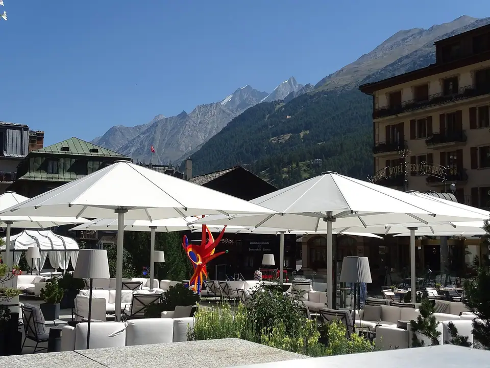
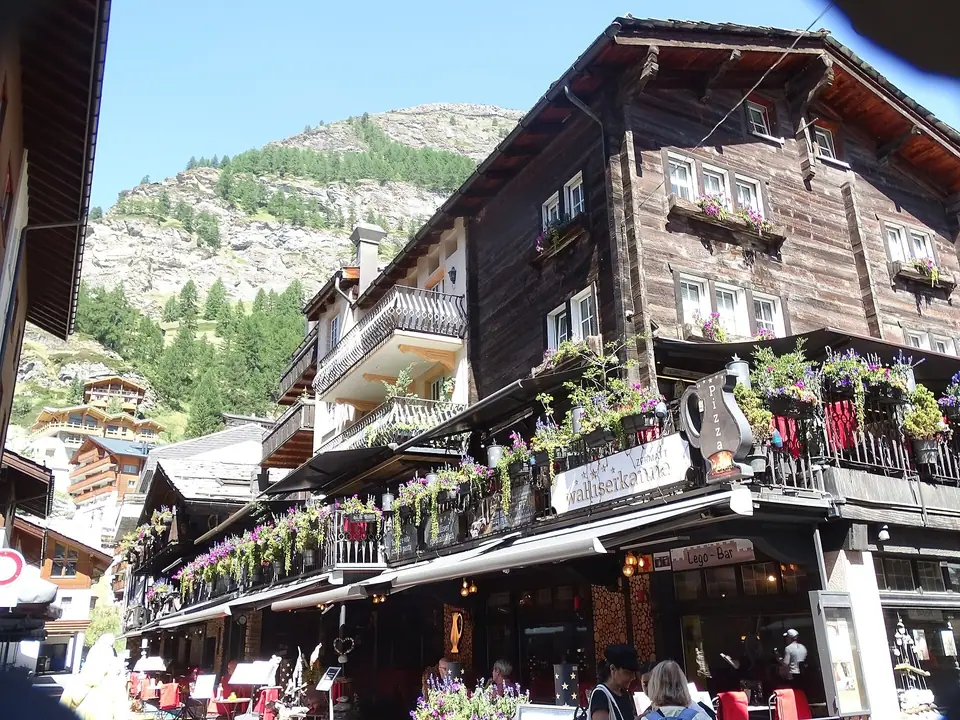
Stepping out of Zermatt railway station (1,604 metres), Bahnhofstrasse runs south as the village's main promenade, shared by pedestrians, horse-drawn carriages from the Grand Hotel Zermatterhof (opened in 1879), and silent battery-powered electric taxis. Halfway along the street, the lane opens onto Kirchplatz, framed by the historic Hotel Monte Rosa, expanded by hotel pioneer Alexander Seiler in 1853 to 1855 from a three-room doctor's house into the headquarters of Victorian alpinism, and the bronze Marmot Fountain (Murmelibrunnen, sculpted in 1906) beside the glass entrance dome of the Matterhorn Museum.
The Larch-Wood Stadel and Spycher of the Hinterdorf
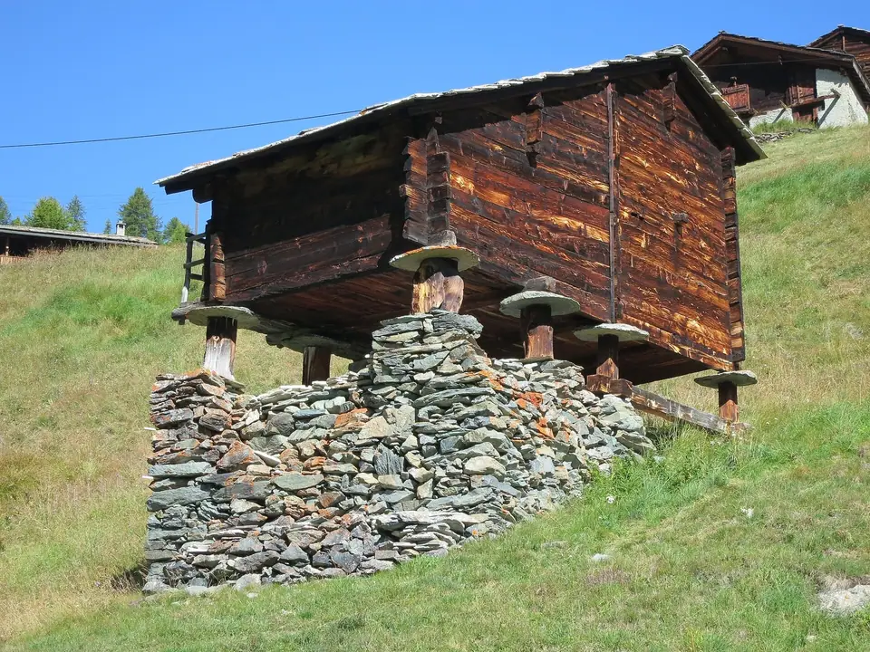
Immediately west of Bahnhofstrasse between the Hotel Monte Rosa and the upper lane of Hinterdorfstrasse stands the Hinterdorf, the historic residential and agricultural quarter of Zermatt. Here, more than thirty closely packed timber buildings erected between the 16th and 18th centuries demonstrate how Upper Valais families adapted to heavy snow and scarce arable land. Constructed without nails from resin-rich native larch wood (Lärchenholz) that weathers from golden brown to nearly black in the high-altitude sun, the buildings are roofed with heavy local gneiss stone slabs. Two distinct types of outbuildings stand beside the dwellings: Stadel (grain barns) and Spycher (storehouses for dried beef, rye bread, and cheese), both raised off the stone foundations on short wooden posts capped by flat, circular schist slabs called Mäuseplatten (mouse plates) that prevent rodents from climbing into the food stores.
Parish Church of St. Mauritius and Sunrise at the Kirchbrücke
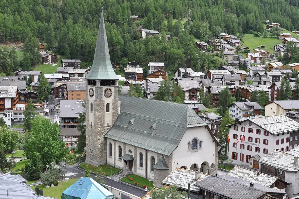
Dominating Kirchplatz is the Parish Church of St. Mauritius, built between 1913 and 1916 by architect Adolf Gaudy alongside the older stone bell tower of the demolished 15th- and 16th-century village church. Two minutes south of the church, a road and footbridge called the Kirchbrücke spans the rushing glacial meltwater of the Matter Vispa (fed by the Gornera, Zmuttbach, Triftbach, and Findelbach). Because the river channel cuts a straight sightline southwest toward the Hörnli ridge, the Kirchbrücke is Zermatt's classic village-level viewpoint for watching the early orange rays of dawn ignite the tip of the 4,478-metre Matterhorn before you head up to Gornergrat or Sunnegga.
Along the stone embankment of the river, benches and pedestrian walkways invite a slow stroll south from the church bridge toward the lower meadows and the southern gondola terminal, or north back toward the railway plaza. The milky grey-green colour of the water comes from fine rock flour ground beneath the surrounding glaciers and carried down by the tributary streams, roaring loudest on warm summer afternoons when snowmelt peaks on the upper icefields and dropping to a quiet murmur on frosty winter mornings.
Architectural Craftsmanship of Upper Valais Timber Construction
Looking closely at the interlocking corner joints of the old barns and dwellings in the historic quarter reveals the carpenter skills developed by Walser mountain communities over generations. Builders felled resinous larch trees on the surrounding slopes, squared the heavy logs with broadaxes, and notched them together at the corners in tight dovetail or saddle joints that settled firmly under the weight of winter snows and heavy stone-slab roofs. Because larch timber is naturally rich in resin and hardens as it dries in the thin, dry valley air, these untreated beams resist rot and woodworm while turning from pale amber to deep charcoal brown on sun-facing walls.
Notice too the subtle differences between the residential houses and the agricultural outbuildings: living quarters feature small paned windows designed to retain warmth during freezing winter months and stone masonry cellars or kitchen hearths, whereas the storage barns leave tiny ventilation gaps between the logs so dry valley breezes can circulate around stacked sheaves of rye and hanging cuts of salted beef. Each circular stone plate atop the supporting wooden stilts was split and chiselled by hand from local schist to create an overhanging lip that field mice could not climb.
Walking Routes, Quiet Hours and Seasonal Atmosphere in the Village Core
Because the historic wooden quarter remains a lived-in residential neighbourhood rather than an open-air museum with turnstiles, visitors can wander its cobbled lanes at any hour free of charge while respecting the privacy of local residents. Early morning and early evening are the most rewarding times for a walk: right after dawn, you can watch the orange alpenglow descend the eastern face of the mountain from the river bridge and then step into the quiet timber alleys before day trippers and shoppers fill the central promenade. In winter, deep cushions of snow rest on the thick gneiss roof slabs and icicles hang from the eaves, while in summer red geraniums spill from wooden window boxes beside the dark larch walls, linking the valley stroll smoothly with our three-day itinerary and regional food guide.
Continuing north or south along the twin riverside promenades also shows how the village manages flood protection and clean energy alongside historic preservation. High stone walls channel the fast-flowing glacial torrent safely through the town centre, while pedestrian footbridges connect the eastern funicular quarter with the western lanes leading toward the forest ravines. Taking an unhurried hour to trace both banks of the river between the railway terminal and the southern meadows gives you a clear mental map of the entire valley floor before you ascend into the surrounding mountains.
Photographers comparing vantage points along the central spine will find that the church bridge offers the cleanest classic framing over the water, whereas walking a short distance south along the eastern riverbank opens up wider foregrounds of wooden chalets, stone walls, and green pasture slopes rising toward the upper gorge. Pausing at one of the small bakeries or café terraces along the main lane after your morning walk lets you watch the village wake up as mountaineers, hikers, and electric shuttles set out toward the valley lift terminals.
Traveller tips
Real advice from people who have been to Bahnhofstrasse, Hinterdorf Timber Barns and Matter Vispa Walk. Every tip is read by our team before it goes live.
No tips yet. Been here? Yours could be the first.
Thank you! Your tip will appear here after a quick review.
More in Zermatt
Continue exploring Zermatt with related neighbourhood, food, and planning guides
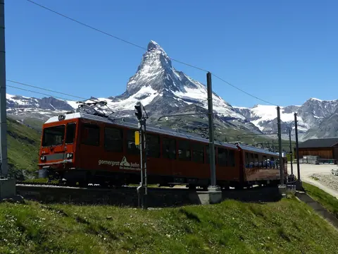
Gornergrat Railway (3,089 m), Kulmhotel and Riffelalp Tram Guide
Zermatt, Switzerland
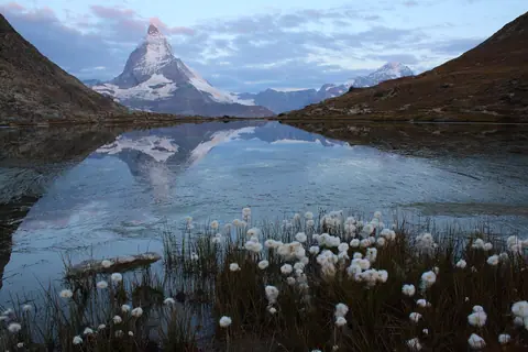
Riffelsee Mirror Lake, Gorner Glacier and Monte Rosa Hut Guide
Zermatt, Switzerland
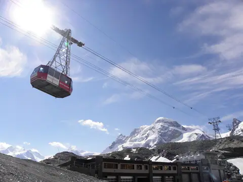
Klein Matterhorn (3,883 m), Glacier Paradise and 3S Cableway Guide
Zermatt, Switzerland
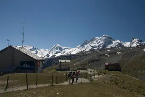
Schwarzsee (2,583 m), Maria zum Schnee Chapel and Hörnli Hut Hike
Zermatt, Switzerland
