


























Zermatt: Car-Free Valley Layout and Four-Thousanders
How car-free Zermatt is organised along the Matter Vispa river at 1,620 metres, and how its three mountain railway and cableway networks fit together.
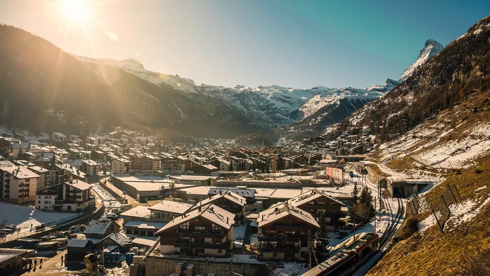
Zermatt sits at an elevation of 1,620 metres (station at 1,604 metres) at the southern end of the 40-kilometre Mattertal in the district of Visp in the German-speaking part of the canton of Valais. Although the compact village floor stretches barely two kilometres along the banks of the glacier-fed Matter Vispa river and houses a permanent population of 5,820, the municipal territory covers 242.91 square kilometres (over 85 percent rocks, snowfields, and glaciers) and reaches up to some of the highest peaks in the Alps. Towering over the eastern skyline is the Dufourspitze (4,634 metres) in the Monte Rosa massif, Switzerland's highest summit, while to the southwest rises the isolated four-sided gneiss pyramid of the Matterhorn (4,478 metres, called ds Horu in Upper Valais dialect) on the Italian border.
From Pratoborno and Zur Matte to Car-Free Resort
Archaeological finds of Stone Age rock shelters on Alp Hermetje, Roman coins on the 3,292-metre Theodul Pass, and Iron Age chlorite-schist workshops below the Hotel Monte Rosa show that travellers crossed the Mattertal for millennia. In medieval documents from 1280, Romance speakers from the Aosta Valley and Lower Valais called the settlement Pratoborno (meadow on the river); after German-speaking Walser colonists settled the high valley, the name Zur Matte (at the meadow) appeared on a 1495 map and in a 1546 text, evolving into Zermatt. Following Edward Whymper's first ascent of the Matterhorn on 14 July 1865 and the opening of the metre-gauge railway from Visp on 18 July 1891, Zermatt transformed from a farming commune into an international mountaineering and ski hub.
Navigating the Car-Free Streets Along the Matter Vispa
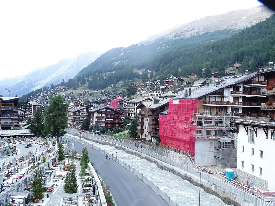
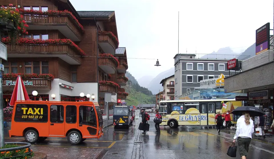
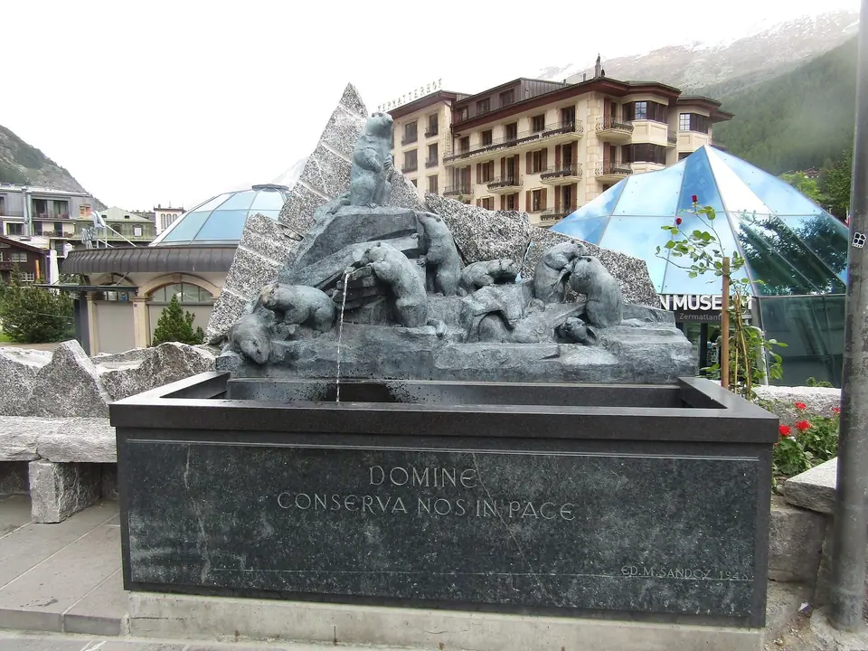
To prevent air pollution from trapping in the deep alpine basin and obscuring the Matterhorn, Zermatt prohibits private internal-combustion vehicles. Drivers park 5 kilometres north at Täsch and arrive by electric shuttle train. Within the village, you can walk anywhere in under thirty minutes along three parallel north-south streets flanking the Matter Vispa, or ride local battery-powered buses and box-shaped electric hotel taxis (Elektromobile) introduced in the 1940s. Halfway down Bahnhofstrasse, Kirchplatz gathers the parish church of St. Mauritius, the Marmot Fountain, and the preserved larch-wood barns of the Hinterdorf.
Understanding Zermatt's Three Mountain Sectors
Every high-altitude excursion departs from one of three valley terminals: the Gornergrat rack railway opposite the main train station (climbing to 3,089 metres), the underground Sunnegga funicular five minutes east across the river (reaching 2,280 metres for the Five Lakes Walk), and the Matterhorn Express gondola at the southern edge of town (ascending to Schwarzsee at 2,583 metres and Klein Matterhorn at 3,883 metres). Use our seasonal weather guide and 3-day itinerary to sequence your ascents.
Because each of these three lift systems climbs a different valley wall, the orientation of the sun and the angle of the surrounding ridges change dramatically from morning to late afternoon. The eastern slopes above the village catch the morning sunlight and look straight across the deep valley trough toward the eastern and northern rock faces of the Matterhorn, making them ideal for morning photography when the mountain is illuminated from the east and winds remain light. By contrast, the southern cableway corridor climbs directly into the shadow of the great peak and across expansive snowfields where afternoon glare off the ice is intense even in midsummer.
Travellers who plan their days around these geographic contrasts get far more out of their stay than those who rush randomly between viewpoints. Checking live summit cameras at the railway plaza or hotel reception each morning before buying a mountain ticket prevents wasted ascents into high cloud banks, as valley skies can look clear while a localized banner cloud wraps the upper pyramid, or conversely, high summits can sit above a low morning temperature inversion.
Planning Daily Ascents, Altitude Pacing and Mountain Etiquette
Moving between the valley floor and high glacier terminals involves rapid changes in barometric pressure, temperature, and ultraviolet radiation within a single hour. Scheduling gentler intermediate walks through larch forests, alpine meadows, and historic timber hamlets on your arrival day gives your body time to adjust before riding cableways to the upper viewing platforms. Carry windproof outer shells, sunglasses with strong UV protection, and sturdy footwear with lugged soles whenever you leave the paved village lanes, since shaded trail sections above the tree line can hold patches of compacted snow well into early summer.
Inside the settlement itself, daily life moves at a calm walking pace shaped by the absence of private motor cars. Pedestrians share the narrow streets with silent battery-powered delivery carts, hotel shuttles, and municipal electric buses; listening for the soft warning bells of approaching electric vehicles and keeping to the edges of the lane when carriages or shuttles pass keeps the car-free promenade safe and unhurried. Evening hours bring a quiet alpine atmosphere along the stone-embanked river channel, where wooden bridges link traditional dining rooms, bakeries, and historic mountaineering inns with the dark larch granaries of the old farming quarter.
Whether you spend your days tracing high moraine paths beside turquoise glacial tarns, riding historic rack-and-pinion carriages up steep rock ridges, or exploring subterranean museum exhibits and centuries-old grain barns on the valley floor, the compact layout ensures that you never lose time in transit. Every trailhead, valley lift portal, and neighbourhood square links smoothly on foot, allowing you to combine high-mountain panoramas with slow afternoon walks through the preserved wooden alleys of Upper Valais.
Water fountains along the pedestrian lanes supply cold drinking water straight from mountain springs, and clear yellow trail signs at every bridge and lift station indicate walking times and difficulty ratings for valley strolls, forest tracks, and marked alpine mountain routes. Packing a reusable water bottle, a light daypack, and a printed or offline trail map from the station square office ensures you can transition smoothly between morning cableway rides and afternoon footpaths back into town.
During both winter snow sports and summer hiking weeks, local mountain guides, pharmacy counters, and outdoor equipment shops along the main street provide up-to-date advice on trail openings, glacier conditions, and rental gear, helping every visitor explore the surrounding high-alpine terrain with confidence and care. Stopping by the tourist office on Bahnhofplatz on your arrival afternoon gives you access to current weather bulletins and footpath maps across the entire valley.
Traveller tips
Real advice from people who have been to Zermatt: Car-Free Valley Layout and Four-Thousanders. Every tip is read by our team before it goes live.
No tips yet. Been here? Yours could be the first.
Thank you! Your tip will appear here after a quick review.
More in Zermatt
Continue exploring Zermatt with related neighbourhood, food, and planning guides
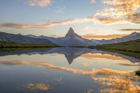
Sunnegga Funicular, Stellisee, Grindjisee and Five Lakes Walk Guide
Zermatt, Switzerland
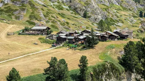
Gorner Gorge (Gornerschlucht), Zmutt and Findeln Hamlets Guide
Zermatt, Switzerland
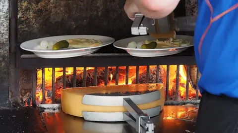
What to Eat in Zermatt: Raclette du Valais, Trockenfleisch and Cholera
Zermatt, Switzerland
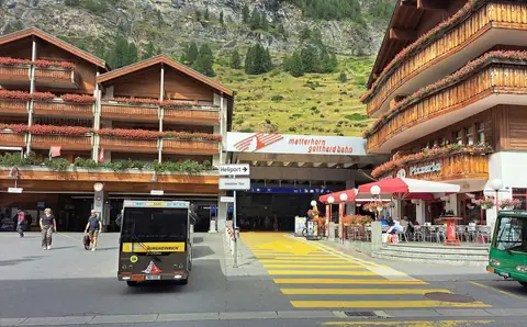
How to Get to Zermatt: Täsch Shuttle, Visp Trains and Glacier Express
Zermatt, Switzerland
