


























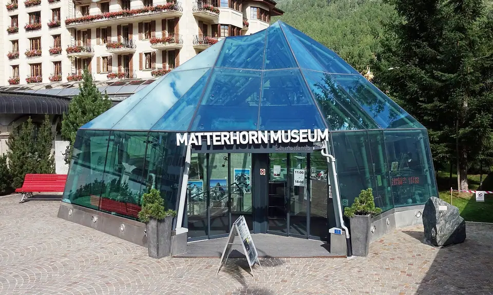
Matterhorn Museum (Zermatlantis), 1865 Ascent and Mountaineers' Cemetery
Inside the subterranean village of Zermatlantis on Kirchplatz, documenting the tragic 14 July 1865 first ascent of the Matterhorn and Alpine history.
Right on Kirchplatz between the Parish Church of St. Mauritius and the 1855 Hotel Monte Rosa, a faceted glass-and-steel pyramid modeled on the silhouette of the Matterhorn leads underground into the Matterhorn Museum (Zermatlantis). Together with the adjoining Mountaineers' Cemetery (Bergsteigerfriedhof), the museum chronicles how a secluded Valais farming village became the epicentre of 19th-century European mountaineering.
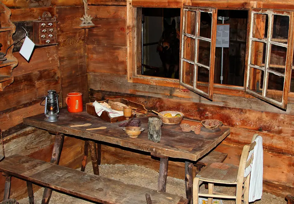
Walking Through the Fourteen Underground Houses of Zermatlantis
Opened in 2006 below the church square, the museum is designed as a subterranean archaeological excavation, named Zermatlantis, where visitors walk along boardwalks through a reconstructed 19th-century mountain village of 14 original timber buildings, including a village church, a historic hotel room, an alpine herdsman's hut, a wine cellar, and larch-wood granaries (Stadel). Inside the houses, displays trace Zermatt's prehistory: from a Neolithic stone axe found on the Theodul Pass to Iron Age chlorite-schist (Lavezstein) lathe-turned pots unearthed during foundation work for the Hotel Monte Rosa in the 1880s and at Furi in the 1990s. You also see a piece of summit gneiss that Swiss astronaut Claude Nicollier carried aboard the Space Shuttle Endeavour on mission STS-61 in December 1993.
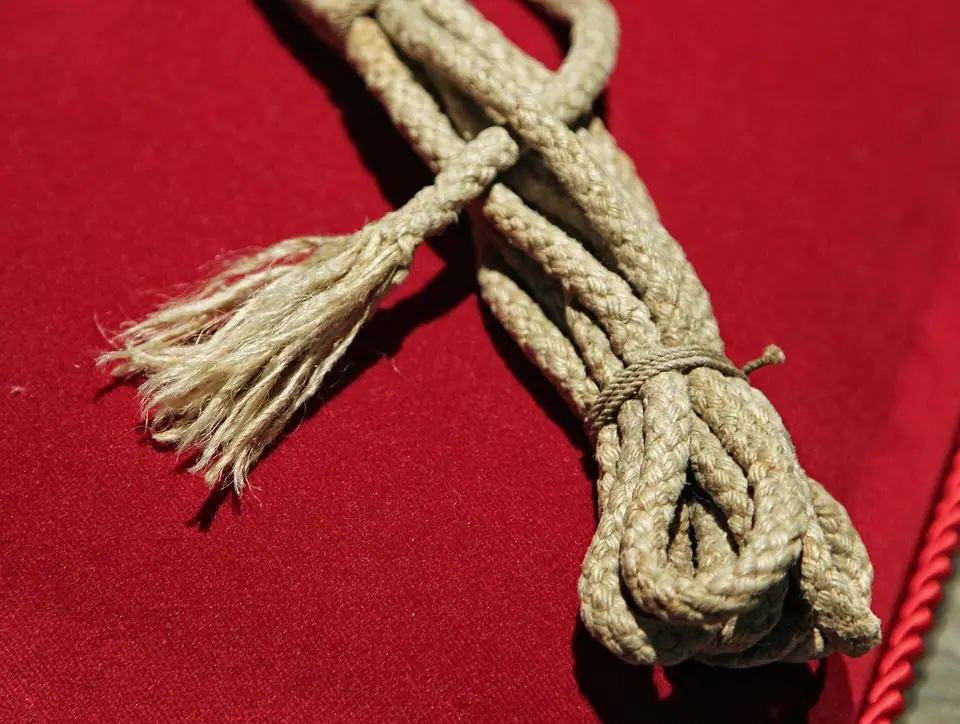
14 July 1865: Edward Whymper and the Severed Hemp Rope
The centrepiece of the museum tells the story of the race for the unclimbed 4,478-metre Matterhorn. After seven previous attempts from the Italian side, 25-year-old English illustrator Edward Whymper teamed up in Zermatt with French guide Michel Croz, local guides Peter Taugwalder (father and son), and British climbers Lord Francis Douglas, Charles Hudson, and 19-year-old Douglas Robert Hadow. Setting out from the Hotel Monte Rosa on 13 July 1865 and bivouacking on the northeast Hörnli ridge, all seven reached the summit in the early afternoon on 14 July 1865, ahead of Jean-Antoine Carrel's party climbing from Breuil. Roughly an hour into the descent above the North Face, Hadow slipped, knocking Croz off his feet and dragging Hudson and Douglas with him. Peter Taugwalder braced the rope around a rock rib, but the thinner reserve sash cord between Douglas and the elder Taugwalder snapped, sending the four front climbers plunging 1,200 metres to the Matterhorngletscher below. Displayed under glass on red velvet is the actual severed hemp rope from that afternoon, alongside belongings recovered from the glacier.
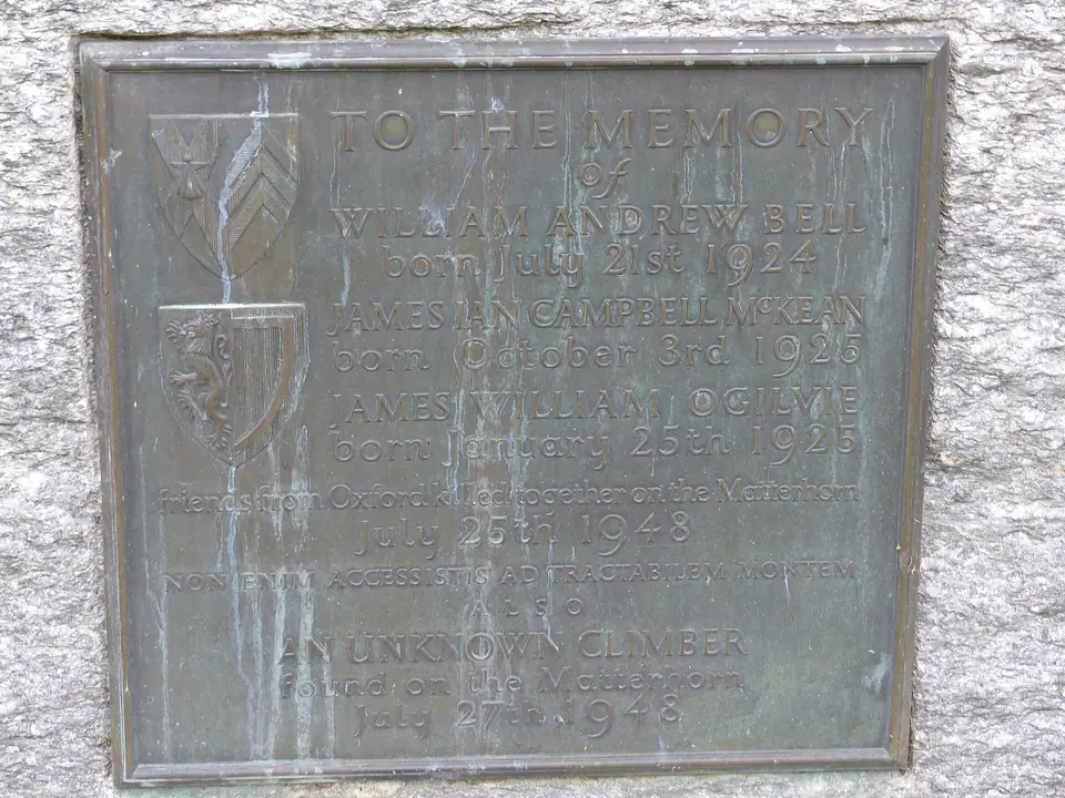
The Mountaineers' Cemetery Beside St. Mauritius Church
Stepping back out into the daylight behind St. Mauritius Church, walk through the quiet Mountaineers' Cemetery, where around fifty stone graves commemorate guides and climbers who lost their lives on the Matterhorn, Monte Rosa, Weisshorn, and Liskamm, including Charles Hudson (whose body was later interred beneath the altar of the old English Church), Michel Croz, Douglas Hadow, and the Tomb of the Unknown Climber. To walk up to the ridge where the 1865 climb began, see our guide to Schwarzsee and the Hörnli Hut.
Reading the carved inscriptions on the headstones in the churchyard offers a sobering perspective on the human cost of alpine exploration across the nineteenth and twentieth centuries. Many memorials bear carved reliefs of ice axes, coiled climbing ropes, or alpine edelweiss flowers alongside brief epitaphs in German, English, French, and Italian, reflecting the international community of mountaineers drawn to the surrounding peaks and the local guides who led them across crevassed glaciers and exposed rock ridges.
Prehistoric Pass Crossings and Alpine Trade Artefacts
Long before Victorian climbers arrived with hemp ropes and alpenstocks, herdsmen, traders, and travellers crossed the glaciated passes at the head of the valley between the Rhône basin and northern Italy. The museum's archaeological cases explain how retreating ice and foundation excavations in the village uncovered stone tools, Roman coins, and lathe-turned chlorite-schist cooking pots that prove high-mountain travel was routine during warmer climatic periods in antiquity. Studying these everyday vessels alongside nineteenth-century surveying instruments shows how local knowledge of weather, snow bridges, and rockfalls evolved from practical pass travel into professional mountain guiding.
How the Victorian Climbing Era Reshaped the Valley Economy
Exhibits inside the reconstructed timber rooms also illustrate the sudden social transformation that followed the famous ascent. Within a single generation, families who had subsisted entirely on high-pasture dairy herding, rye cultivation, and seasonal labour found new livelihoods as licensed mountain guides, porters, innkeepers, and railway builders. Original hotel registers, early climbing permits, guide books bound in leather, and vintage photographic glass plates capture the partnership between local valley guides and visiting scientists, artists, and alpinists who mapped the surrounding glaciers and ridges.
Visiting Logistics, Multimedia Exhibits and Pairing with Outdoor Walks
Because the exhibition halls sit entirely underground beneath the church plaza, the museum makes an ideal afternoon or inclement-weather stop after a morning excursion on the cogwheel railway or the eastern lake trails. Illuminated pathways and audio-visual projections inside the subterranean cavern recreate the sound of alpine wind and rockfall while guiding you past the timber cottages at an unhurried pace. Allow roughly an hour to explore the underground village and upper gallery displays, then step outside to trace the adjoining timber barns of the old quarter and the quiet graves beside the church tower, connecting the artefacts under glass with the real mountain walls rising at the end of the valley.
In addition to the nineteenth-century climbing relics, upper-level displays examine the development of winter tourism, early wooden skis, rescue toboggans, and filming equipment used in classic mountain cinema shot on the surrounding slopes. Interactive relief models allow you to trace the exact ridge lines and glacier basins you will see from the high cableways, helping you identify individual rock towers, huts, and bivouac sites when you look up at the mountain from the village bridge or the alpine trails.
Visiting the museum on your opening afternoon in town enriches every subsequent excursion in our three-day itinerary: once you have seen the historic photographs of the old huts, railway construction camps, and Walser storehouses, every stone chapel and mountain station along the upper trails carries a deeper historical resonance. Before leaving Kirchplatz, take a moment to admire the bronze marmot fountain outside the glass entrance pyramid and the historic façade of the neighbouring mountaineering hotel where early expeditions gathered.
Traveller tips
Real advice from people who have been to Matterhorn Museum (Zermatlantis), 1865 Ascent and Mountaineers' Cemetery. Every tip is read by our team before it goes live.
No tips yet. Been here? Yours could be the first.
Thank you! Your tip will appear here after a quick review.
More in Zermatt
Continue exploring Zermatt with related neighbourhood, food, and planning guides
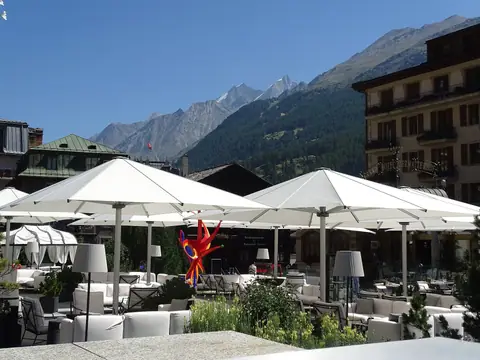
Bahnhofstrasse, Hinterdorf Timber Barns and Matter Vispa Walk
Zermatt, Switzerland
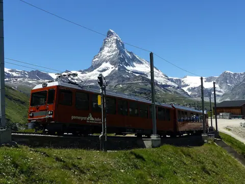
Gornergrat Railway (3,089 m), Kulmhotel and Riffelalp Tram Guide
Zermatt, Switzerland
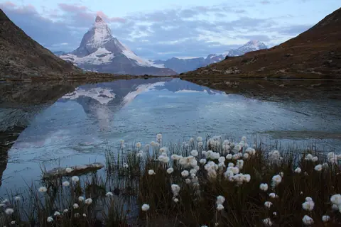
Riffelsee Mirror Lake, Gorner Glacier and Monte Rosa Hut Guide
Zermatt, Switzerland
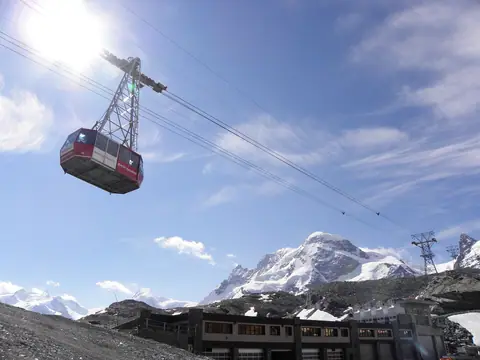
Klein Matterhorn (3,883 m), Glacier Paradise and 3S Cableway Guide
Zermatt, Switzerland
