


























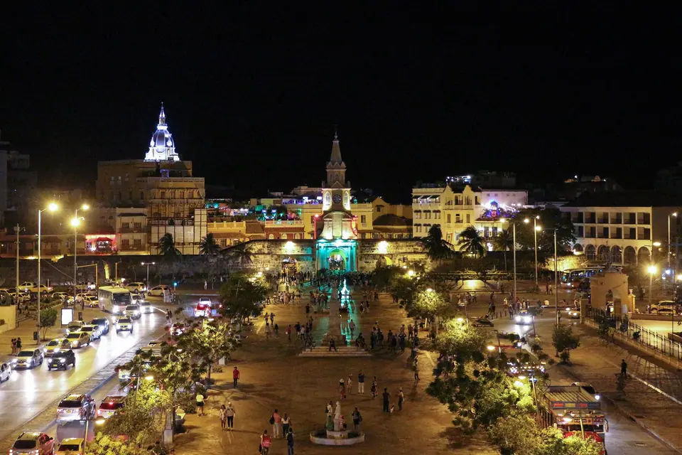
Cartagena: Essential Planning for the Caribbean Port
Everything you need to know before visiting Cartagena de Indias, from how the colonial walled quarters fit together to navigating tropical heat, yellow taxis, and island boats.
Set at 10°25′N on Colombia’s northern Caribbean coast, Cartagena de Indias is the capital of the Bolívar Department and an urban municipality of 876,885 residents (over one million across the metropolitan area). Founded on 1 June 1533 by Spanish commander Pedro de Heredia on the Indigenous Kalamarí island, the city owes its sheltered geography to the Bay of Cartagena and the coastal lagoons of the Ciénaga de la Virgen and Bahía de las Ánimas. Because Spanish treasure fleets gathered here before crossing the Atlantic, the Crown spent two centuries ringing the historic core in coral-limestone walls and island forts.
How Cartagena’s Historic and Modern Quarters Connect
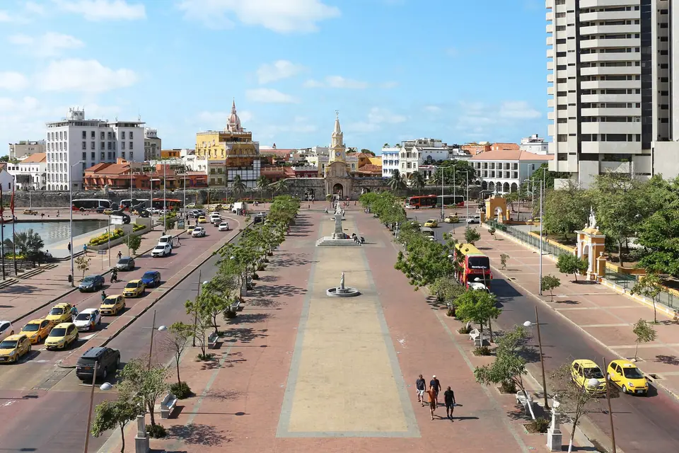
The UNESCO-listed historic core is divided into three neighbourhoods enclosed by stone ramparts. On the western side facing the open Caribbean Sea sits Centro (the colonial parishes of San Sebastián and Santa Catalina), where administrative palaces, the Cathedral, and major plazas are concentrated. Immediately north lies San Diego, once the quarter of middle-class merchants, convents, and artisans, stretching up to Las Bóvedas and the northern ramparts.
Southeast of the main Clock Tower gate across the former San Anastasio moat channel sits Getsemaní, a historic Afro-Caribbean artisan district protected by its own outer bastions. South of the old city, the narrow sandy peninsula of Bocagrande, Castillogrande, and El Laguito curves between the Caribbean Sea and Cartagena Bay, while the residential island of Manga sits across the Puente Román bridge from Getsemaní.
Money, Yellow Taxis and Daily Pacing in the Tropics
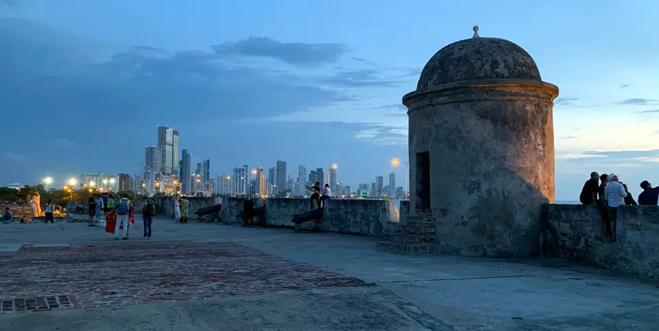
Cartagena experiences consistent tropical heat throughout the year, with daytime highs hovering around 31 to 32 °C and relative humidity near 81 percent. We structure our days around the sun: explore exposed outdoor sites such as Castillo San Felipe de Barajas right at morning opening, spend midday inside shaded cloister museums around Plaza de Bolívar, and return to the ramparts in late afternoon when the northeast trade winds pick up.
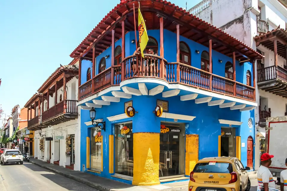
Official yellow taxis do not use taximeters; instead, municipal authorities set fixed zone fares between the airport, the Walled City, Getsemaní, and Bocagrande. Always confirm the agreed fare with the driver before boarding and carry smaller Colombian peso (COP) banknotes.
Safety, Street Etiquette and Cultural Respect
Inside the Walled City, Getsemaní, Manga, and Bocagrande, streets are well patrolled and stay lively into the evening. Street vendors, musicians, and palenqueras (women from San Basilio de Palenque carrying bowls of tropical fruit) are an integral part of public life. Always ask permission and offer a customary tip before photographing a palenquera.
Traveller tips
Real advice from people who have been to Cartagena: Essential Planning for the Caribbean Port. Every tip is read by our team before it goes live.
No tips yet. Been here? Yours could be the first.
Thank you! Your tip will appear here after a quick review.
More in Cartagena
Continue exploring Cartagena with related neighbourhood, food, and planning guides
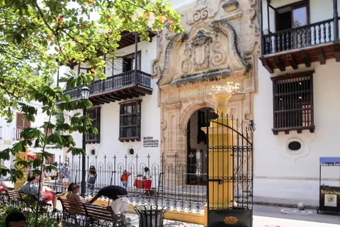
Plaza de Bolívar, Palace of the Inquisition and Cartagena Cathedral
Cartagena, Colombia
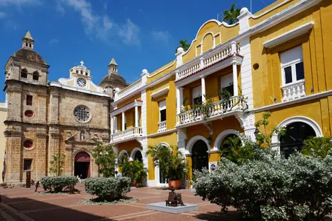
San Pedro Claver, Plaza de Santo Domingo and Colonial Plazas
Cartagena, Colombia
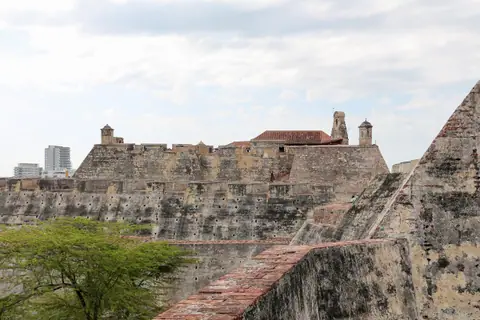
Castillo San Felipe de Barajas and Cerro de la Popa Guide
Cartagena, Colombia
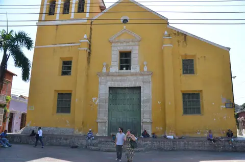
Getsemaní Cartagena Guide: Plaza de la Trinidad and Street Art
Cartagena, Colombia
