


























Lucerne: Reuss Bridges, Lake Bay and Alpine Gateways
Plan a visit to Lucerne with our overview of its two riverbanks, medieval covered bridges, Musegg ramparts, lakeside promenades, and mountain railways.
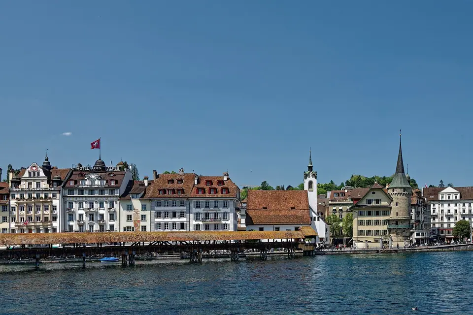
Positioned at the north-western tip of Lake Lucerne (Vierwaldstättersee) where the clear waters of the Reuss River flow out toward the Swiss Plateau, Lucerne is the capital of the canton of Lucerne and the social and cultural centre of Central Switzerland. Sitting at an elevation of 436 metres across a municipal area of 29.1 square kilometres, the city counts 86,234 residents in its municipality (December 2024) and roughly 265,000 across the broader urban agglomeration including Küssnacht. Merged with the western municipality of Littau in 2010 and reorganised into two districts, six city sectors, and 27 neighbourhoods in 2023, Lucerne also administers the forested Bürgenstock exclave rising to 1,127.8 metres above the lake, while its core municipality spans from 419 metres at the Rotsee to 800 metres on the Sonnenberg.
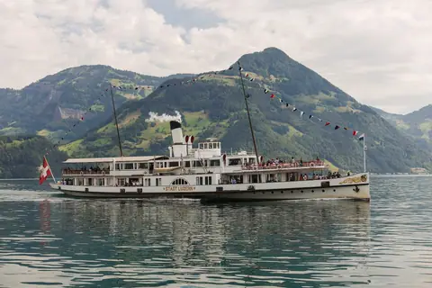
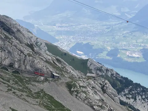
Although a Benedictine monastery dedicated to Saint Maurice was founded on the site of the Hofkirche around 735 to 736 and the opening of the first track across the Gotthard Pass around 1230 turned the town into a vital transalpine trading post between northern Europe and Italy, modern tourism took off around 1840. Grand lakeside hotels rose along Schweizerhofquai and Nationalquai as paddle steamers began plying the 114-square-kilometre lake in 1837 and pioneering rack railways conquered Mount Rigi in 1871 and Mount Pilatus in 1889. Queen Victoria stayed on the Gütsch hill in 1868, Leo Tolstoy set his 1857 short story Lucerne along Schweizerhofquai, and Mark Twain praised the Lion Monument in his 1880 travelogue A Tramp Abroad.
This combination of medieval mercantile wealth and nineteenth-century alpine engineering gives the municipality a distinct architectural character. Unlike larger Swiss metropolitan hubs that expanded across flat industrial plains, Lucerne remained closely bound to its water basin and surrounding sandstone ridges. Timber bridges with painted interior gables, fortified hillside watchtowers, and frescoed guild facades stand within steps of Belle Époque steamer landings and contemporary cultural halls, making the city an accessible base for exploring Central Switzerland. Visitors arriving by rail step straight out onto the lakeshore, where pedestrian promenades and covered crossings link every quarter of the historic core.
How the Reuss River and Lake Bay Shape the City
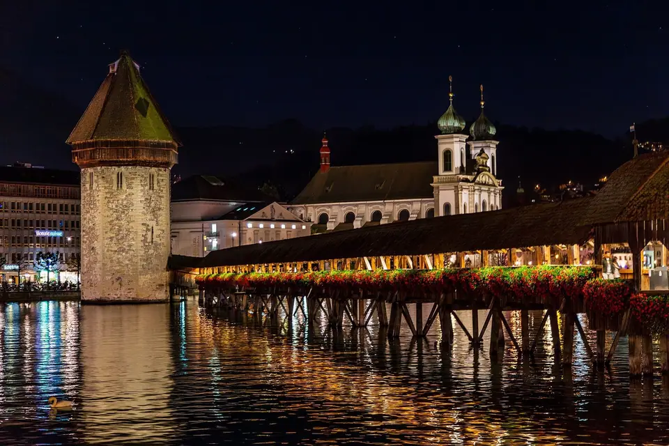
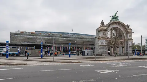
The Reuss divides central Lucerne into two distinct halves linked by five crossings: the modern Seebrücke at the lake outlet, the medieval Kapellbrücke and Wasserturm, the pedestrian Rathaussteg, the Reussbrücke at the river's narrowest point (where a first crossing stood around 1168), and the downstream Spreuerbrücke next to the nineteenth-century needle dam (Nadelwehr). On the right (northern) bank, the pedestrian Altstadt rises from Rathausquai through frescoed squares toward the 870-metre Museggmauer rampart. On the left (southern) bank, Bahnhof Luzern and Jean Nouvel's KKL Lucerne face the steamer piers, while the Baroque Jesuitenkirche anchors the riverside promenade.
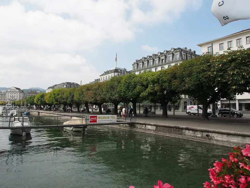
Understanding this dual-bank layout simplifies every walk through town. The right shore encompasses historic market squares, the twin-spired Hofkirche, the Löwenplatz monuments, and the long chestnut promenade extending toward the Lido beach and the Swiss Museum of Transport. The left shore groups the railway platforms, the Kleinstadt lanes around the Franciscan church (Franziskanerkirche), and the lively nineteenth-century residential blocks of Hirschmatt and Neustadt. Because pedestrian bridges cross the river every few steps, visitors naturally weave back and forth between the two sides throughout the day, enjoying shifting views of the river current and mountain backdrop.
Architectural Layers from Guild Squares to Modern Halls
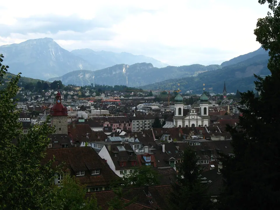
Walking from the riverbanks into the upper streets reveals how Lucerne evolved from a timber market settlement into an aristocratic patrician republic. After joining Uri, Schwyz, and Unterwalden in the eternal confederacy of 1332 and securing victory at Sempach in 1386, the town replaced wooden houses with stone guild halls and erected its outer curtain wall along the Musegg ridge. During the Counter-Reformation, civic and religious patrons commissioned Italian-influenced Renaissance arcades at the Kornmarkt Rathaus, ornate Baroque stucco inside the Jesuit Church, and triangular panel cycles beneath the roofs of both covered bridges.
Later centuries added new layers without erasing the medieval street plan. When the outer riverside gates were removed in the mid-nineteenth century to open the shoreline, architects lined the reclaimed quays with neoclassical palace facades and shaded promenades. At the turn of the twenty-first century, Santiago Calatrava's glass station hall and Jean Nouvel's cantilevered KKL roof introduced steel-and-glass geometry to the southern shore, creating a clear visual dialogue across the water with the historical towers of the right bank. Travellers comparing where to stay in Lucerne can choose directly between these distinct historical quarters.
Seasonal Rhythms and Local Traditions
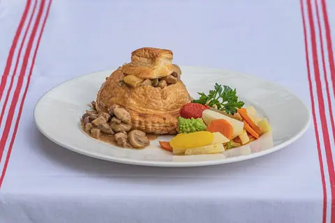
Life along the Reuss shifts noticeably with the alpine calendar. From late spring through autumn, the focus moves outdoors to the Lake Lucerne paddle steamers, open-air riverside cafes along Rathausquai, and high-altitude walking trails on Pilatus, Rigi, and the Stanserhorn. Late summer brings international orchestras and soloists to the bay for the Lucerne Festival, while autumn clears the air over the pre-alpine ridges and fills the traditional guild restaurants with seasonal game and dried-pear pastries. In late winter, the entire historic core transforms for Luzerner Fasnacht, when costumed brass bands and historic guilds take over the bridges and squares before Lent.
Practical Orientation Across Central Lucerne
- Language and dialect: Official Swiss Standard German is used on all signs, menus, and transport displays, while locals speak the Alemannic dialect of Luzerndeutsch in daily conversation (calling their city Lozärn). English is widely spoken across hotels, museums, trains, and mountain railways.
- Compact distances: Walking from Bahnhof Luzern across the Seebrücke or Kapellbrücke to Kornmarkt takes less than ten minutes, and Löwenplatz is another ten minutes north-east. Most urban sights require no motorised transport at all, and level quayside paths make strolling easy for all ages.
- Lake and rail integration: SGV ships at Bahnhofquai and VBL electric trolleybuses outside the station connect directly with SBB trains to Zurich, Bern, and Geneva, as well as metre-gauge Zentralbahn services heading toward Interlaken and Engelberg.
- Drinking water and markets: Public stone fountains across the Altstadt supply crisp, potable drinking water year-round, and the riverside arcades host regional food markets on Tuesday and Saturday mornings. Follow our 3-day Lucerne itinerary to link all major neighbourhoods and summits at an unhurried pace.
Traveller tips
Real advice from people who have been to Lucerne: Reuss Bridges, Lake Bay and Alpine Gateways. Every tip is read by our team before it goes live.
No tips yet. Been here? Yours could be the first.
Thank you! Your tip will appear here after a quick review.
More in Lucerne
Continue exploring Lucerne with related neighbourhood, food, and planning guides
Lake Lucerne (Vierwaldstättersee): Paddle Steamers and Promenades
Lucerne, Switzerland
Mount Pilatus, Mount Rigi and Stanserhorn: Lucerne's Three Classic Peaks
Lucerne, Switzerland
What to Eat in Lucerne: Chügelipastete, Birnenweggen and Lake Fish
Lucerne, Switzerland
How to Get to Lucerne: Bahnhof Luzern, SBB Trains and Public Transport
Lucerne, Switzerland
