


























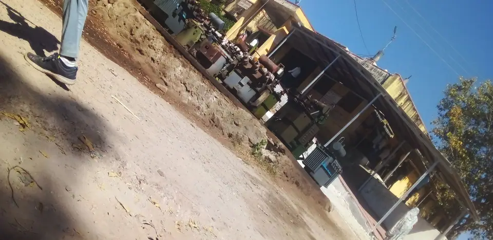
The Central Axis of Beijing: Walking the 7.8 km UNESCO Spine
How the 7.8-kilometre UNESCO Central Axis organises imperial Beijing from Yongdingmen in the south to the Bell Tower in the north.
Inscribed on the UNESCO World Heritage list in 2024, the Beijing Central Axis (Beijing Zhongzhouxian) is the 7.8-kilometre north-to-south spine that has governed the layout of China's capital for more than seven centuries. First established in 1267 when Kublai Khan built the Yuan capital of Dadu alongside the waters of Shichahai, and extended south in the sixteenth century when the Ming dynasty enclosed the Outer City, the axis translates an ancient classical text, the Kaogongji (Book of Diverse Crafts), into stone and timber: a royal capital must stand symmetrically aligned with the pole star, with the Ancestral Temple on the left (east), the Altar of Land and Grain on the right (west), the court in front and the market behind.
The fifteen heritage components from south to north
Rather than a single street, the Central Axis is a rhythmic choreography of gates, bridges, ceremonial plazas, palace roofs and hilltop pavilions that alternates wide horizontal spaces with vertical landmarks:
- Southern Ritual Segment (Yongdingmen to Zhengyangmen): begins at the reconstructed Ming outer gate of Yongdingmen (Gate of Eternal Stability), runs north between the Temple of Heaven on the east and the Altar of the God of Agriculture (Xiannongtan, holding the Beijing Ancient Architecture Museum and its stunning caisson star ceiling) on the west, and continues over the Tianqiao (Bridge of Heaven) up pedestrianised Qianmen Street to the twin towers of Zhengyangmen.
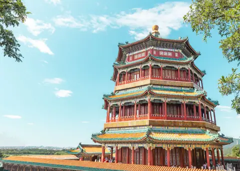
- Civic and Imperial Core (Tiananmen to Jingshan): opens into Tiananmen Square, passes through the Upright Gate (Duanmen), flanked on the east by the Imperial Ancestral Temple (Taimiao / Working People's Cultural Palace) and on the west by the five-colour earth Altar of Land and Grain (Shejitan / Zhongshan Park), enters the Forbidden City, and climbs straight up to Wanchun Pavilion on Jingshan Hill.
- Northern Market and Civic Clock Segment (Di'anmen to the Bell Tower): descends through the royal canal bridge of Wanning Bridge (built in 1285 with carved water-suppressing beasts still visible along the banks of Shichahai) and finishes at the Drum and Bell Towers.
Because Subway Line 8 runs directly beneath the northern and southern sections of this spine, you can easily walk the entire alignment over two days or ride vintage Heritage Bus Route 1 between Yongdingmen and Qianmen.
Traveller tips
Real advice from people who have been to The Central Axis of Beijing: Walking the 7.8 km UNESCO Spine. Every tip is read by our team before it goes live.
No tips yet. Been here? Yours could be the first.
Thank you! Your tip will appear here after a quick review.
More in Beijing
Continue exploring Beijing with related neighbourhood, food, and planning guides
Jiankou to Mutianyu: Unrestored Ridge Perspectives and Safety
Beijing, China
Simatai Great Wall and Gubei Water Town: Night Walks and Canals
Beijing, China
Huanghuacheng Lakeside Great Wall: Submerged Ramparts and Chestnuts
Beijing, China
Lama Temple (Yonghegong): Tibetan Halls and Sandalwood Buddha
Beijing, China
